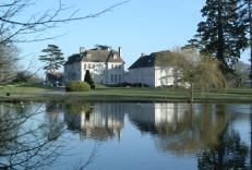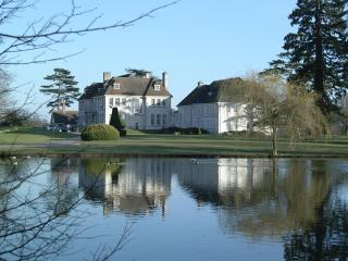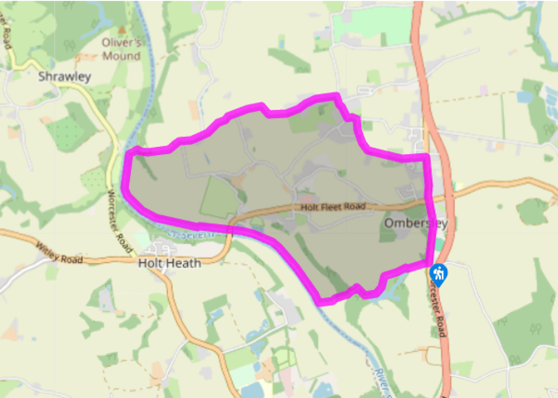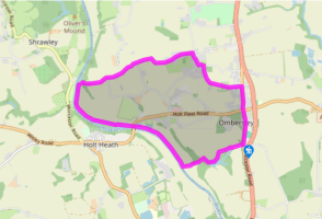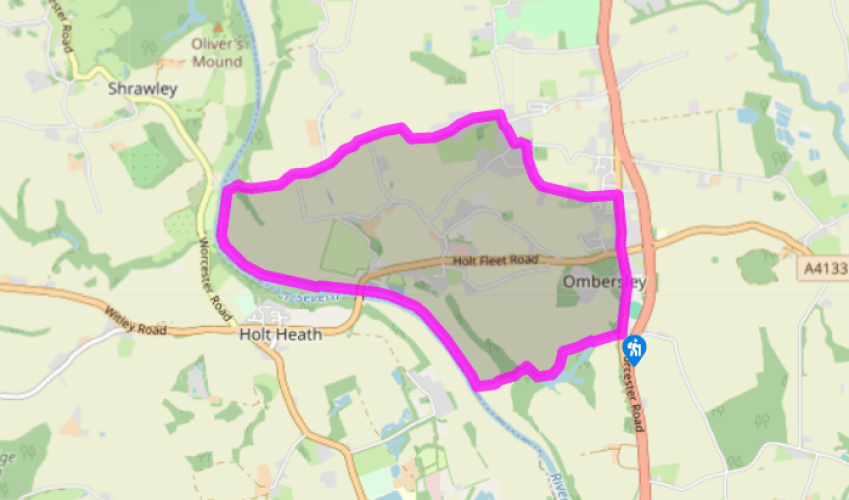
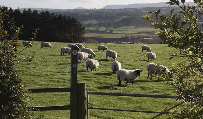
Ombersley and Holt Fleet
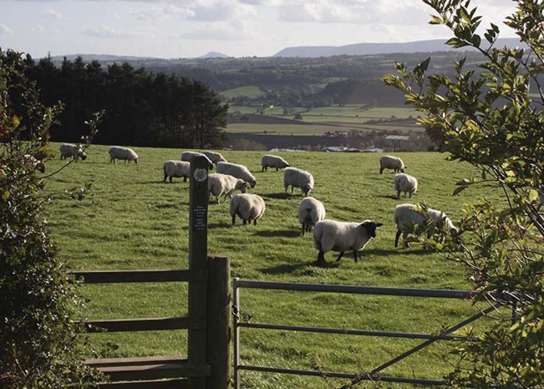
To the south of the village, and beyond the cricket ground, take a path on the right, signposted ‘Turn Mill’. This is the Wychavon Way. Briefly in trees, walk across a meadow to a stile beside a willow. Go along the left-hand field-edges, and briefly by the water’s edge. At the corner of the fish pond, fork right at a waymarker to a track. Turn left past the edge of the pond, following this track right in 80yds (73m), just beyond a gushing stream. After a slight incline in the open, take the left fork where it becomes a sunken path through woodland. Cross a meadow to the river.
Turn right. In 0.75 miles (1.2km) you’ll pass by a caravan site to reach Holt Fleet Bridge. Go under this, continuing for 1 mile (1.6km), passing the staffed Holt Lock. When opposite The Lenchford Inn you’ll come to a riverside gate.

Been on this walk?
Send us photos or a comment about this route. Or recommend a route of your own.

Walking in Safety
Read our tips to look after yourself and the environment when following this walk.

Get an AA guide
Explore our range of ‘50 Walks in’ guides - they’re the ideal companion for a ramble.
Been on this walk?
Send us photos or a comment about this route. Or recommend a route of your own.
Walking in Safety
Read our tips to look after yourself and the environment when following this walk.
Get an AA guide
Explore our range of ‘50 Walks in’ guides - they’re the ideal companion for a ramble.
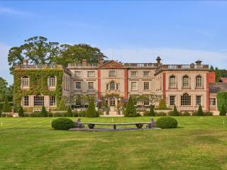
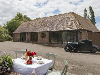
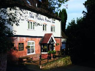
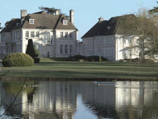
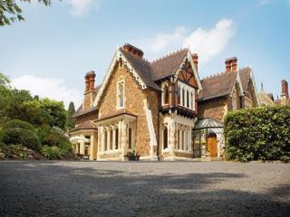
Nearby places to stay
View all (8)