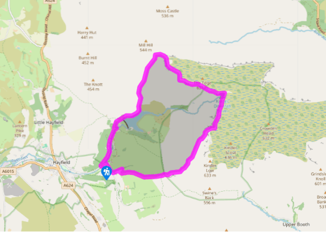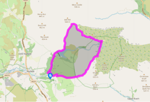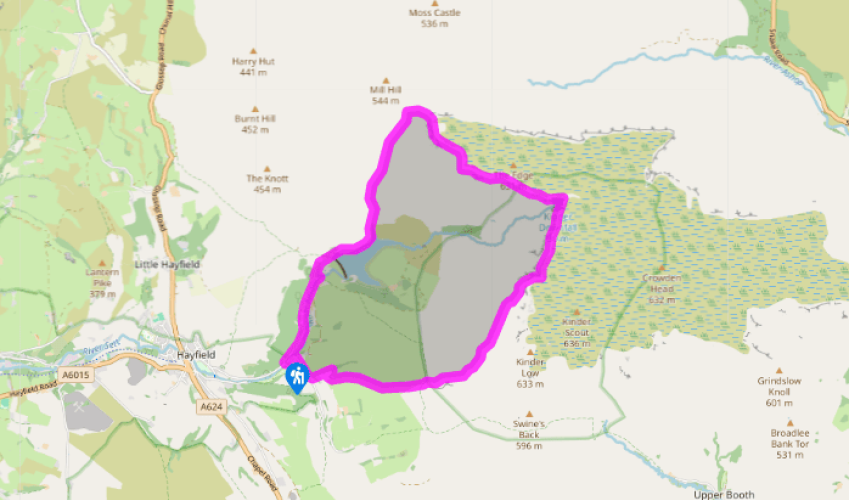
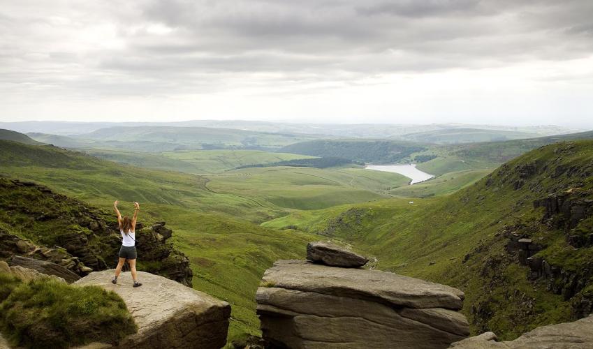
From Hayfield to Kinder Downfall
Recommended by

Walk directions
Turn left out of the car park and walk up the lane, which winds beneath trees by the River Kinder. After half a mile (800m), cross a bridge and leave the lane along a signposted footpath. It traces the river’s east bank before swinging left to rejoin the road at the entrance to a water treatment works.
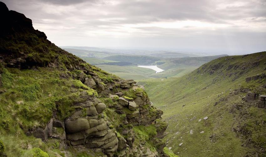
Turn right and go through a pedestrian gate on to a cobbled bridleway that climbs above the buildings. Through a gap, keep ahead above the dam, the path shortly descending to continue beside the reservoir’s north shore. Beyond a gate, ignore a footbridge; instead, carry on ahead along a path rising into William Clough, where it is joined by the Snake Path from the left.
View all directions
Additional information
Terrain
- Well-defined tracks and paths, several stiles
Landscape
- Heather and peat moorland and farm pastures
Dog friendliness
- Walk is on farmland and access agreement land; dogs should be kept on lead
Parking
- Bowden Bridge pay car park
Toilets en route
- Across bridge from car park
About the walk
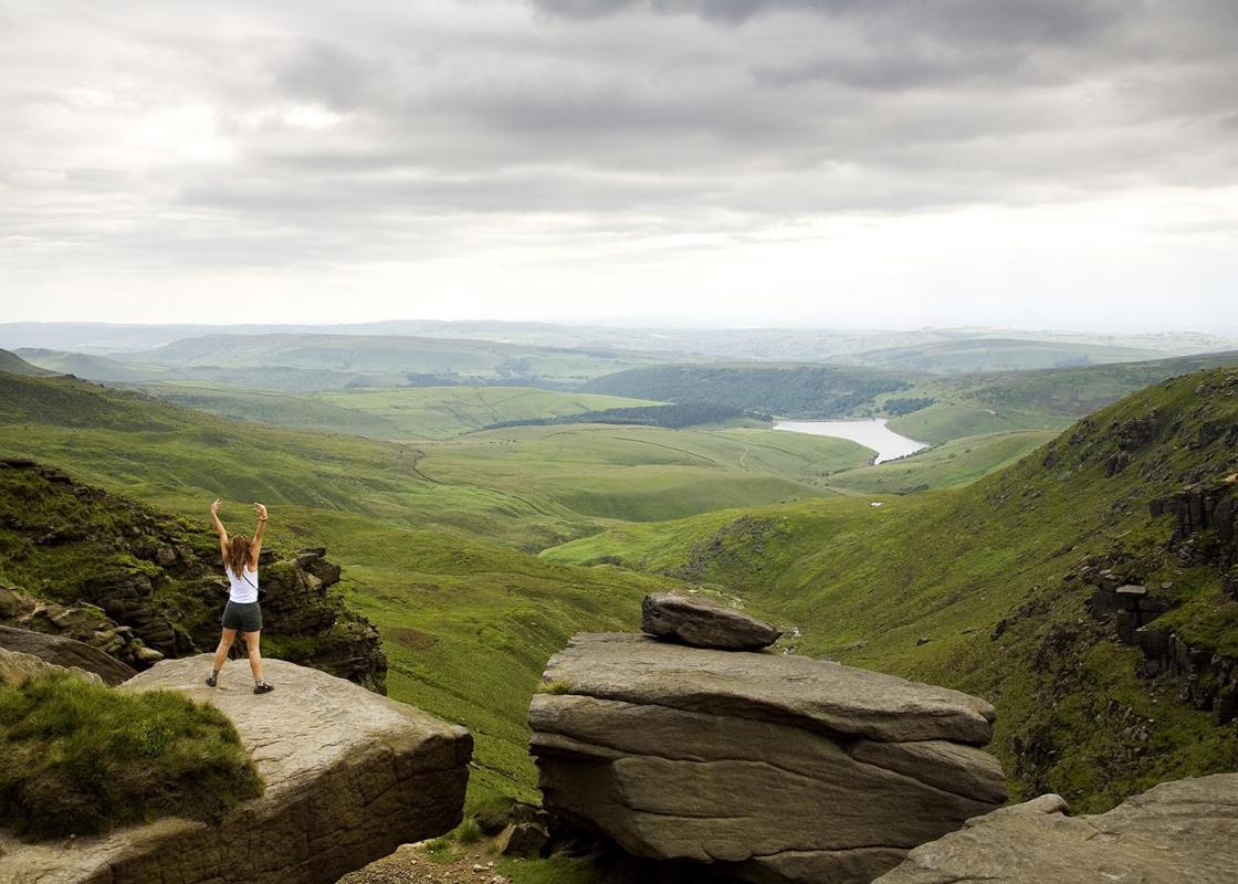
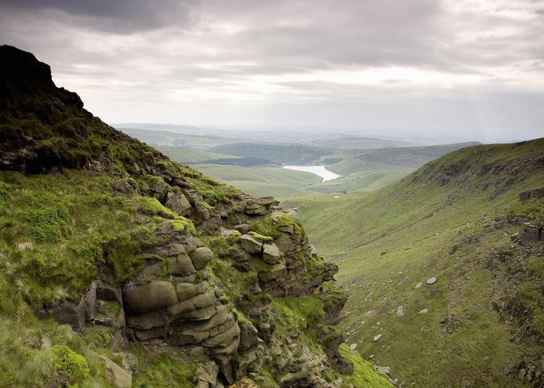
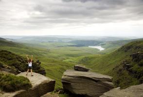
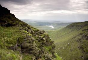
If you want to climb one of the quieter ways to Kinder Scout, Hayfield to the west is one of the best places to start. It’s also a route with a bit of history to it. From the beginning of the 20th century there had been conflict between ramblers and the owners of Kinder’s moorland plateau. By 1932...
Read more

Been on this walk?
Send us photos or a comment about this route. Or recommend a route of your own.

Walking in Safety
Read our tips to look after yourself and the environment when following this walk.

Get an AA guide
Explore our range of ‘50 Walks in’ guides - they’re the ideal companion for a ramble.
Been on this walk?
Send us photos or a comment about this route. Or recommend a route of your own.
Walking in Safety
Read our tips to look after yourself and the environment when following this walk.
Get an AA guide
Explore our range of ‘50 Walks in’ guides - they’re the ideal companion for a ramble.
About the area
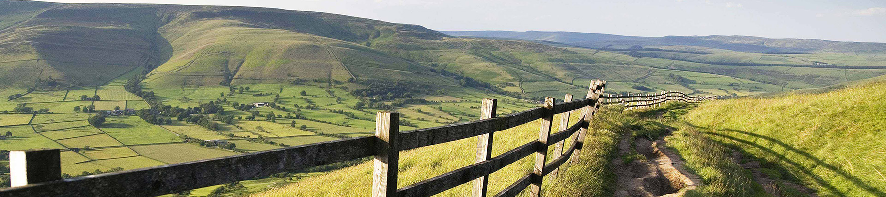
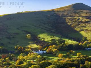
The natural features of this central English county range from the modest heights of the Peak District National Park, where Kinder Scout stands at 2,088 ft (636 m), to the depths of its remarkable underground caverns, floodlit to reveal exquisite Blue John stone. Walkers and cyclists will enjoy the High Peak Trail which extends from the Derwent Valley to the limestone plateau near Buxton, and for many, the spectacular scenery is what draws them to the area.
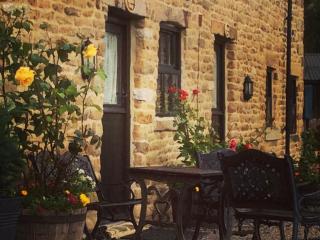
Nearby places to stay
View all (8)Lowes Mill Cottages at Torr Vale Mill
- Total units: 4
- Lawn area
- Garden furniture
- Dish washer


Nearby places to stay
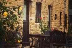
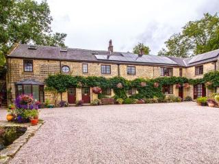
Lowes Mill Cottages at Torr Vale Mill
The four historic cottages are converted outbuildings of the Grade II* listed Torr Vale Mill, which was England’s longest continuously working mill, from 1785 to 2000. Set in a deep val...
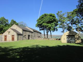
Riding House Farm Cottages
Riding House Farm offers Shepherd's Cottage and Milkmaid's Cottage. This working farm is 140 acres, and guests can see lambs in spring, visit the calf house and feed the hens. There is ...
Ye Olde Nags Head
In the village centre, this 17th-century coaching inn has furnished its bedrooms, some with four-posters, all with antiques. Days out in the High Peak, especially for walkers and cyclis...
Losehill House Hotel
Situated down a quiet leafy lane, this hotel occupies a secluded spot in the Peak District National Park. Bedrooms are comfortable and beautifully appointed. The outdoor hot tub, with s...
Underleigh House
Comfort, charm and a traditional atmosphere all contribute to a relaxing break in Underleigh House, an award-winning and quintessentially English B&B. In a fantastic Peak District locat...
Pindale Farm Outdoor Centre
Set around a 13th-century farmhouse and a former lead mine pump house (now converted to a self-contained bunkhouse accommodating up to 60 people), this simple, off-the-beaten-track site...

The Acorn
Awaiting description...
The Oaks
Awaiting description...
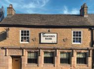
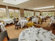
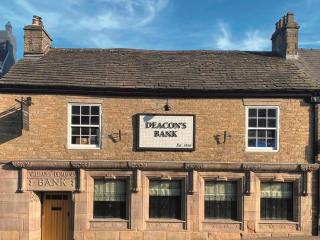
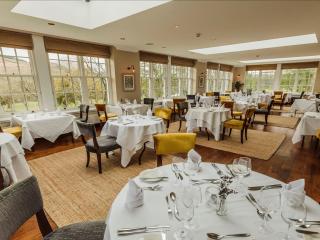
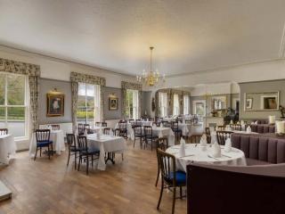
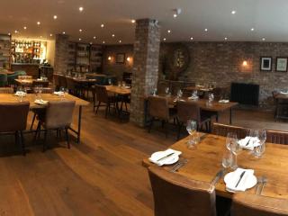
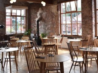
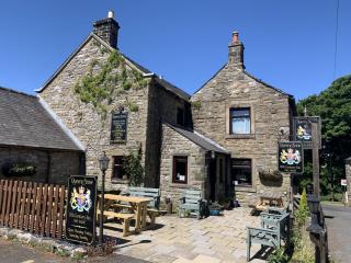
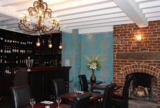
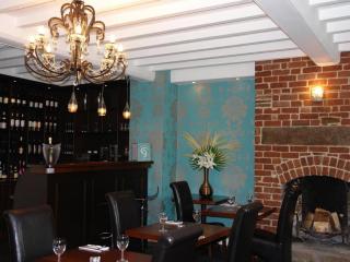
Places to eat nearby View all