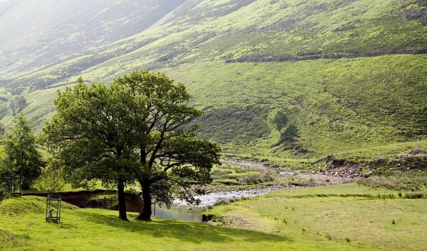
Alport Castles and the Derwent Valley
Recommended by

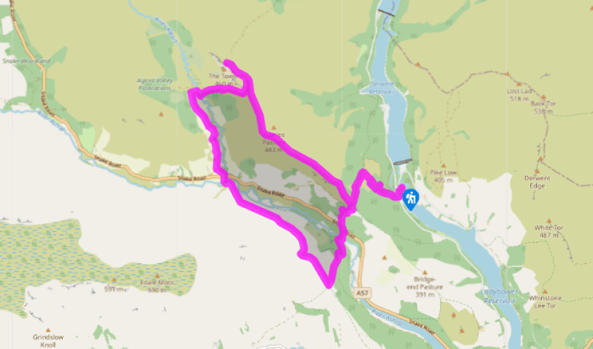
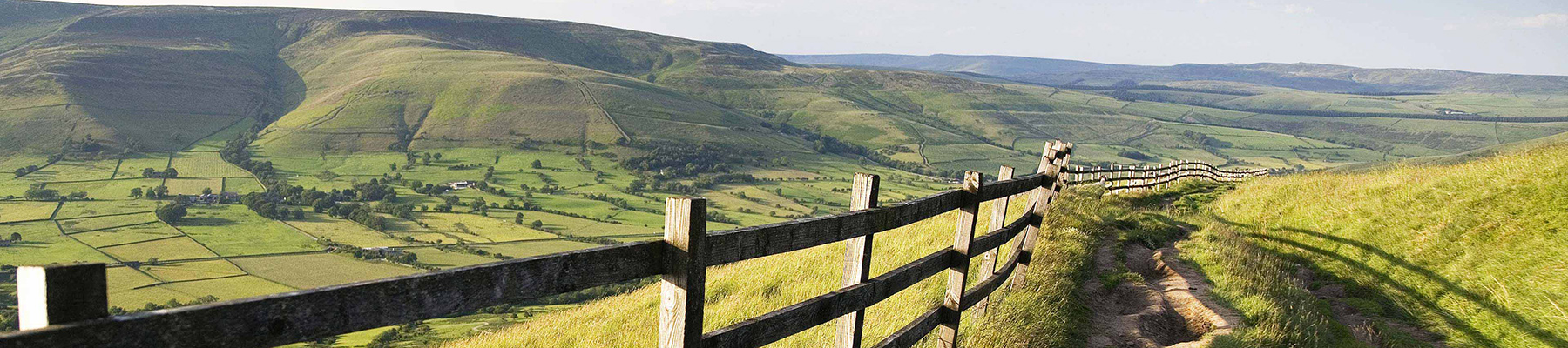
Walk directions
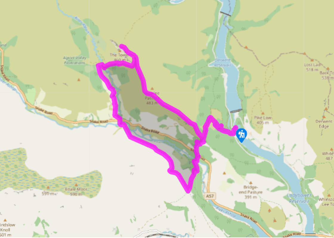
The walk begins diagonally opposite the car park exit along a gated track signed ‘Lockerbrook’. It climbs through Hagg Side Wood to a bridge over a water leat. Fork left towards Lockerbrook Farm. On meeting a foresters’ track, go left, and after 200yds (183m), round a bend, look for a narrow path doubling back left. Climb on, eventually leaving the trees through a gate.
Continue up beside a stone wall to come out on to a rough track. Turn left past Lockerbrook Farm.
View all directions
Additional information
Terrain
- Well-defined paths and tracks in forests and on moorland, some stiles
Landscape
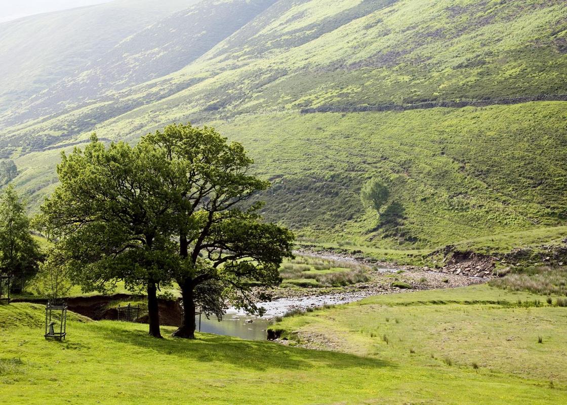
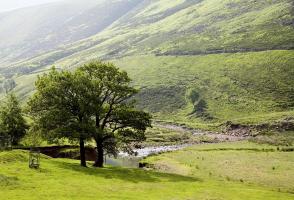
- Afforested hillsides and peaty moorland
Dog friendliness
- Much is across farmland and access agreement land; dogs should be kept on lead
Parking
- Fairholmes pay car park
Toilets en route
- At car park
About the walk
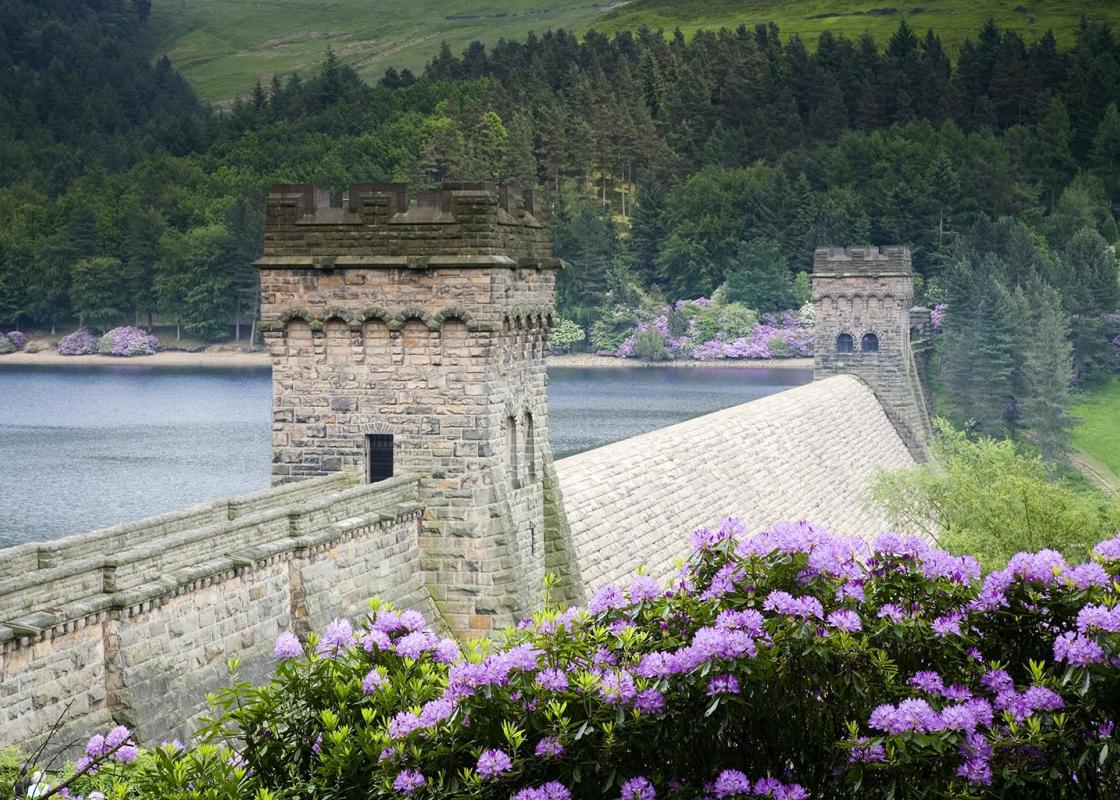
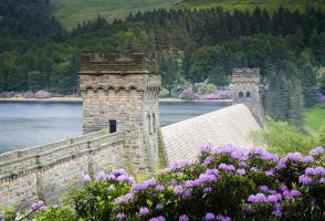
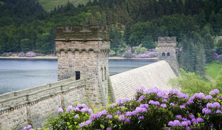
The walk begins in the Derwent Valley, beneath the great stone ramparts of the impressive Derwent Dam. Your start point, Fairholmes car park, has a history all of its own. At the south end, the crumbling foundations of Fairholmes Farm are an evocative reminder that this was once agricultural land....
Read more

Been on this walk?
Send us photos or a comment about this route. Or recommend a route of your own.

Walking in Safety
Read our tips to look after yourself and the environment when following this walk.

Get an AA guide
Explore our range of ‘50 Walks in’ guides - they’re the ideal companion for a ramble.
Been on this walk?
Send us photos or a comment about this route. Or recommend a route of your own.
Walking in Safety
Read our tips to look after yourself and the environment when following this walk.
Get an AA guide
Explore our range of ‘50 Walks in’ guides - they’re the ideal companion for a ramble.
About the area
The natural features of this central English county range from the modest heights of the Peak District National Park, where Kinder Scout stands at 2,088 ft (636 m), to the depths of its remarkable underground caverns, floodlit to reveal exquisite Blue John stone. Walkers and cyclists will enjoy the High Peak Trail which extends from the Derwent Valley to the limestone plateau near Buxton, and for many, the spectacular scenery is what draws them to the area.
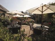
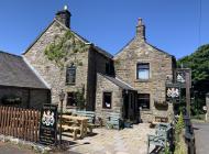
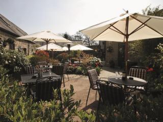
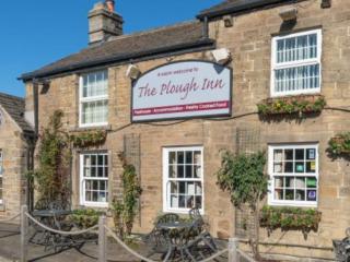
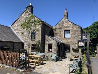
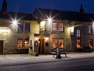
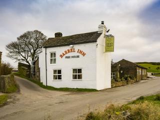
Nearby places to stay
View all (8)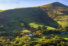


Nearby places to stay
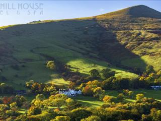
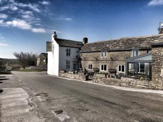
Losehill House Hotel
Situated down a quiet leafy lane, this hotel occupies a secluded spot in the Peak District National Park. Bedrooms are comfortable and beautifully appointed. The outdoor hot tub, with s...
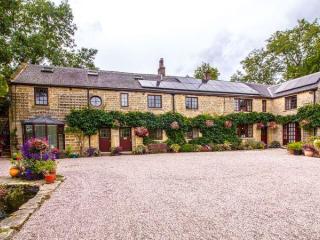
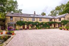
Underleigh House
Comfort, charm and a traditional atmosphere all contribute to a relaxing break in Underleigh House, an award-winning and quintessentially English B&B. In a fantastic Peak District locat...

The Acorn
Awaiting description...
The Oaks
Awaiting description...
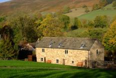
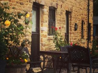
The Barn at Mead Farm
The Barn is set in the heart of the beautiful Peak District countryside and has been lovingly rebuilt in the original stone to reflect its history yet incorporating all modern comforts....
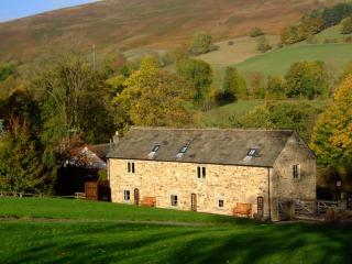
Riding House Farm Cottages
Riding House Farm offers Shepherd's Cottage and Milkmaid's Cottage. This working farm is 140 acres, and guests can see lambs in spring, visit the calf house and feed the hens. There is ...
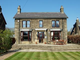
Thorndene B&B
Thorndene B&B has 3 comfortable, spacious ensuite rooms, guest lounge/breakfast room, off-road parking and a secure bicycle lock-up. For breakfast, Thorndene B&B uses local produce and...

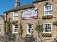
Ye Olde Nags Head
In the village centre, this 17th-century coaching inn has furnished its bedrooms, some with four-posters, all with antiques. Days out in the High Peak, especially for walkers and cyclis...