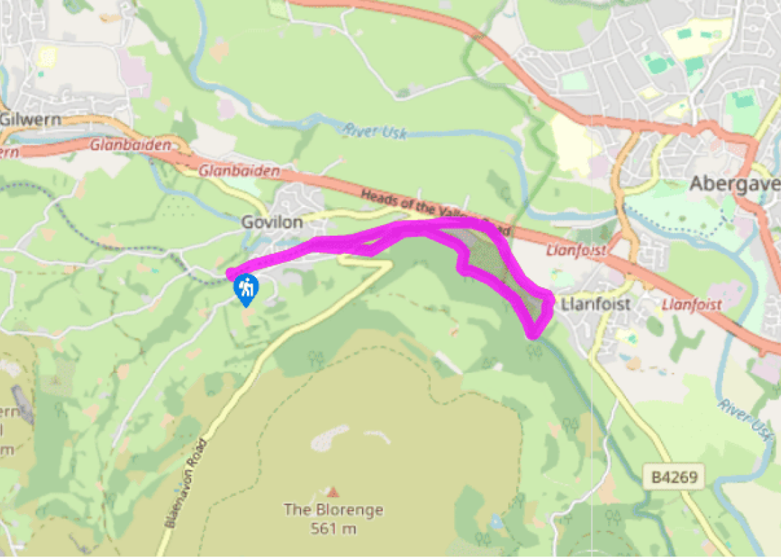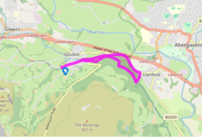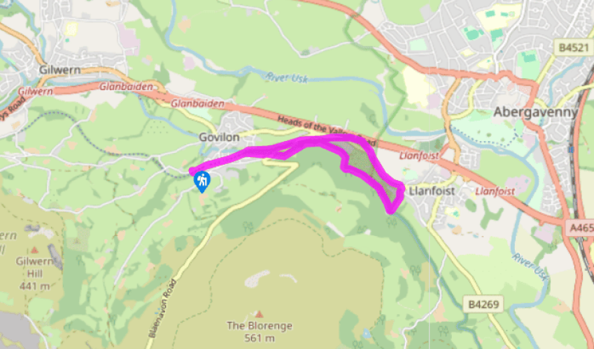
Govilon to Llanfoist
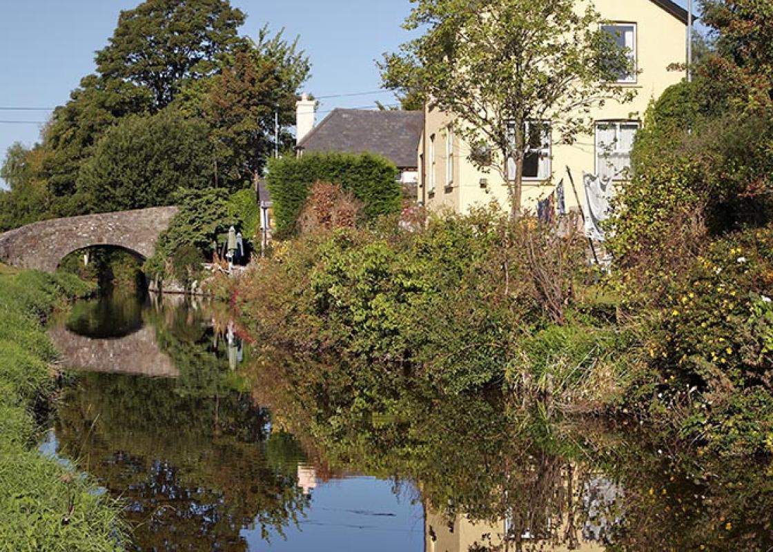
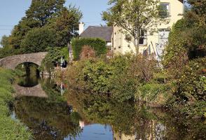
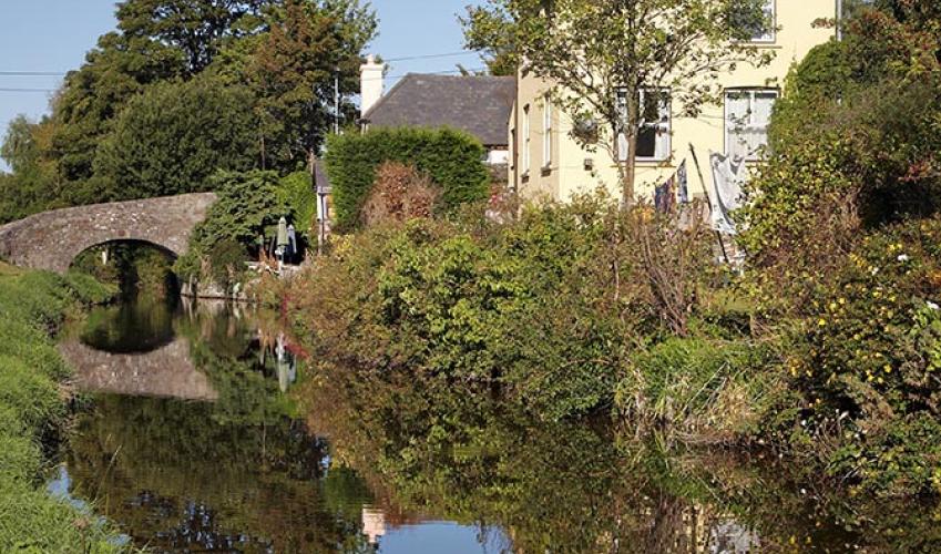
A clear tree-covered track runs parallel to the car park. Go through the barrier on to it and turn left. This is now the line of the railway. Follow it beneath a bridge to a residential road and go straight across, around a barrier. Continue behind a row of houses. The path then vaults the canal on a bridge that you should note as it marks the spot where you leave the waterside on the return leg. Continue parallel to the canal for a while, then duck back into woodland, keeping straight ahead at a junction, waymarked right to the canal. The path passes beneath deciduous trees made up mainly of oak, birch and ash. You’re likely to see many small birds, especially those of the garden variety, including most members of the tit family, robins and wrens.
About 1.25 miles (2km) after crossing the canal, you’ll come to a gate and a car park on the outskirts of the small village of Llanfoist, which grew up on the transport links of the area. Its lime kilns were fed by limestone quarried on the flanks of Blorenge and brought down to the canal by another tramway. Turn right, cross the main road and walk up the lane opposite. This passes the church on the left and climbs steeply up towards the canal. As the lane swings sharply left bear right to climb steps up onto the tow path.

Been on this walk?
Send us photos or a comment about this route. Or recommend a route of your own.

Walking in Safety
Read our tips to look after yourself and the environment when following this walk.

Get an AA guide
Explore our range of ‘50 Walks in’ guides - they’re the ideal companion for a ramble.
Been on this walk?
Send us photos or a comment about this route. Or recommend a route of your own.
Walking in Safety
Read our tips to look after yourself and the environment when following this walk.
Get an AA guide
Explore our range of ‘50 Walks in’ guides - they’re the ideal companion for a ramble.
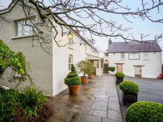
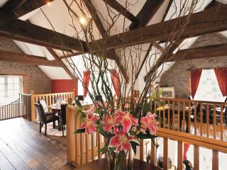
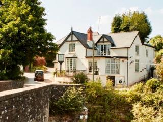
Nearby places to stay
View all (8)