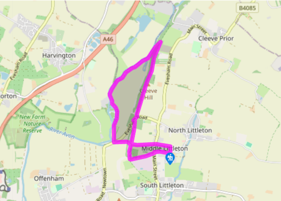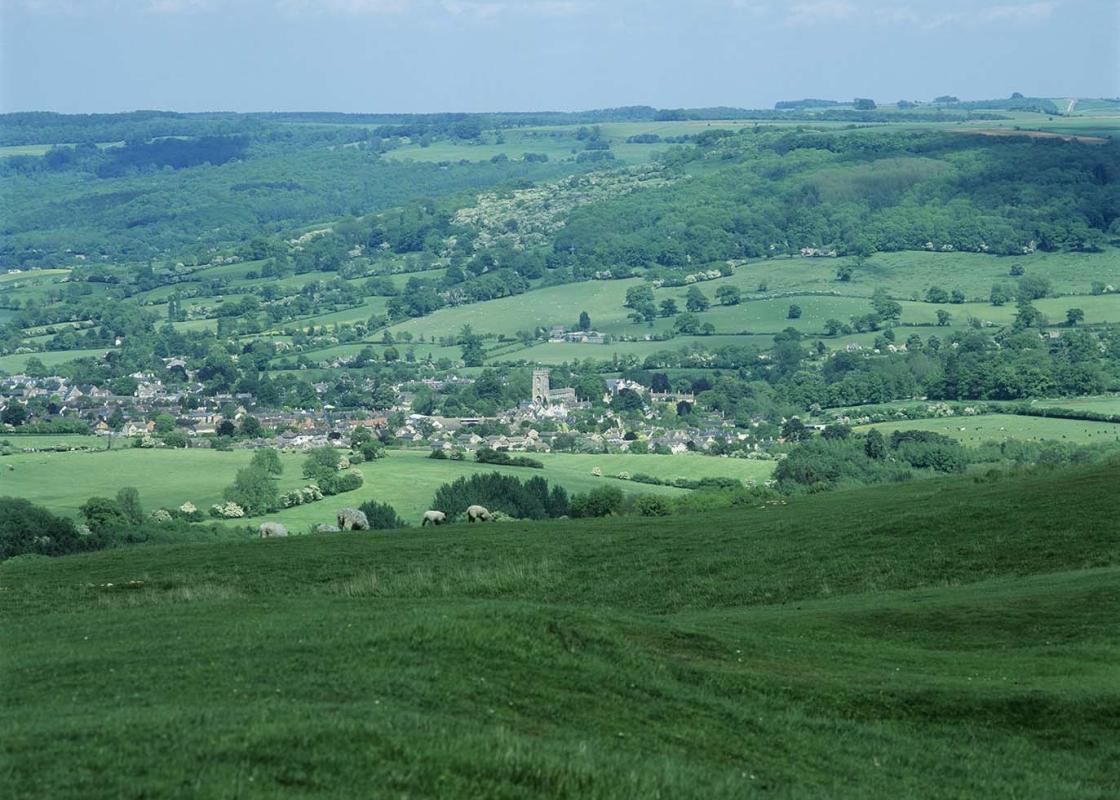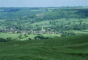
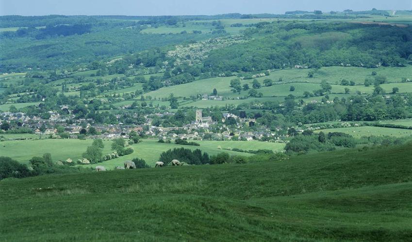
Along Cleeve Hill
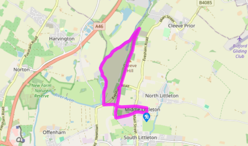
Walk westwards up School Lane to the B4085, here called Cleeve Road. Cross diagonally left to take a rutted, stony track, screened by a hedgerow from Kanes Foods. At a junction of tracks bear right by a nature reserve to join a bridle path, passing several gates. After 350yds (320m), you reach an opening on the right and a line of plum trees marking a field boundary; on the left is a metal gate.
Go through this gate, entering Worcestershire Wildlife Trust’s Windmill Hill Nature Reserve. Descend steeply, ignoring crossing tracks, to another gate and across one field to the B4510. Follow the signposted ‘Cleeve Prior’ footpath through Offenham Park caravan site. (Turn left on the road for 220yds/201m for the Fish & Anchor Inn.) Go through a gate out of the caravan park to walk on a stone track beside the river.

Been on this walk?
Send us photos or a comment about this route. Or recommend a route of your own.

Walking in Safety
Read our tips to look after yourself and the environment when following this walk.

Get an AA guide
Explore our range of ‘50 Walks in’ guides - they’re the ideal companion for a ramble.
Been on this walk?
Send us photos or a comment about this route. Or recommend a route of your own.
Walking in Safety
Read our tips to look after yourself and the environment when following this walk.
Get an AA guide
Explore our range of ‘50 Walks in’ guides - they’re the ideal companion for a ramble.
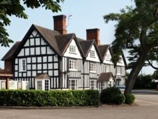
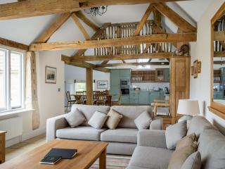
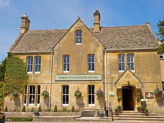
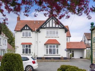
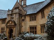
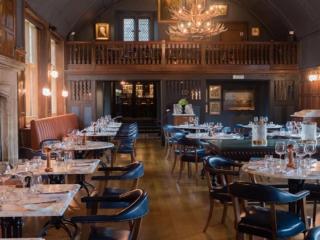
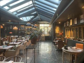
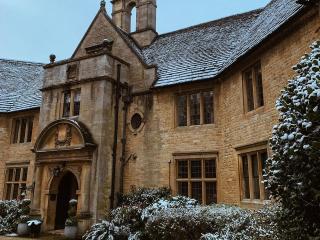
Nearby places to stay
View all (8)