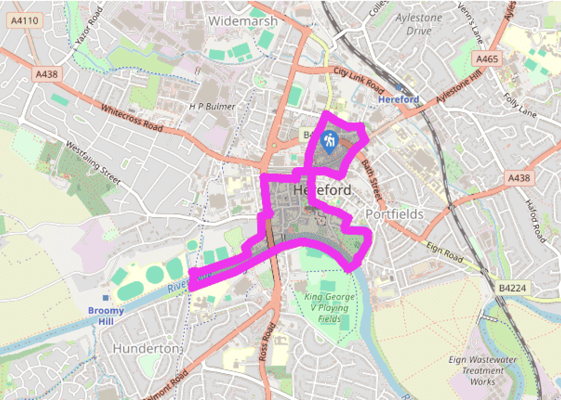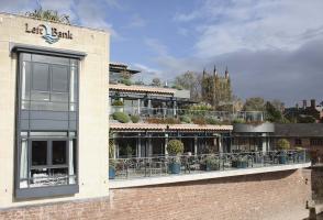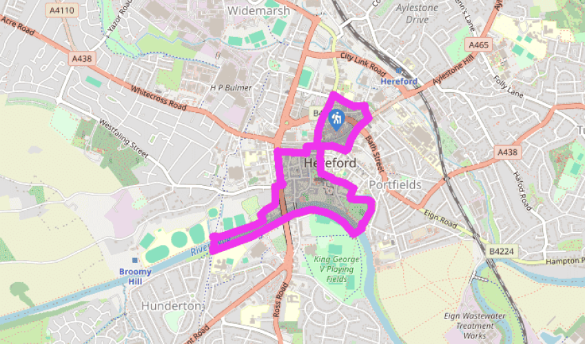

The historic city of Hereford
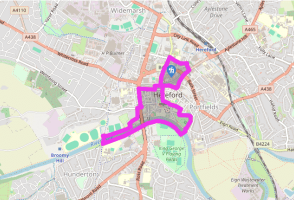
Turn left out of the car park and walk up Widemarsh Street to the Coningsby Hospital Museum, housed in a hospital built in 1614 for ex-servicemen beside a Black Friars’ monastery. Its remains and a preaching cross can be seen in the secluded rose garden behind. Briefly retrace your steps and go left into Coningsby Street. At its end, Canal Road to the left led to the triple canal basin terminus of the Hereford and Gloucester Canal. The route, however, continues to the right along Monkmoor Street and then right again along Commercial Road to a busy junction opposite the Kerry. Cross at the lights.
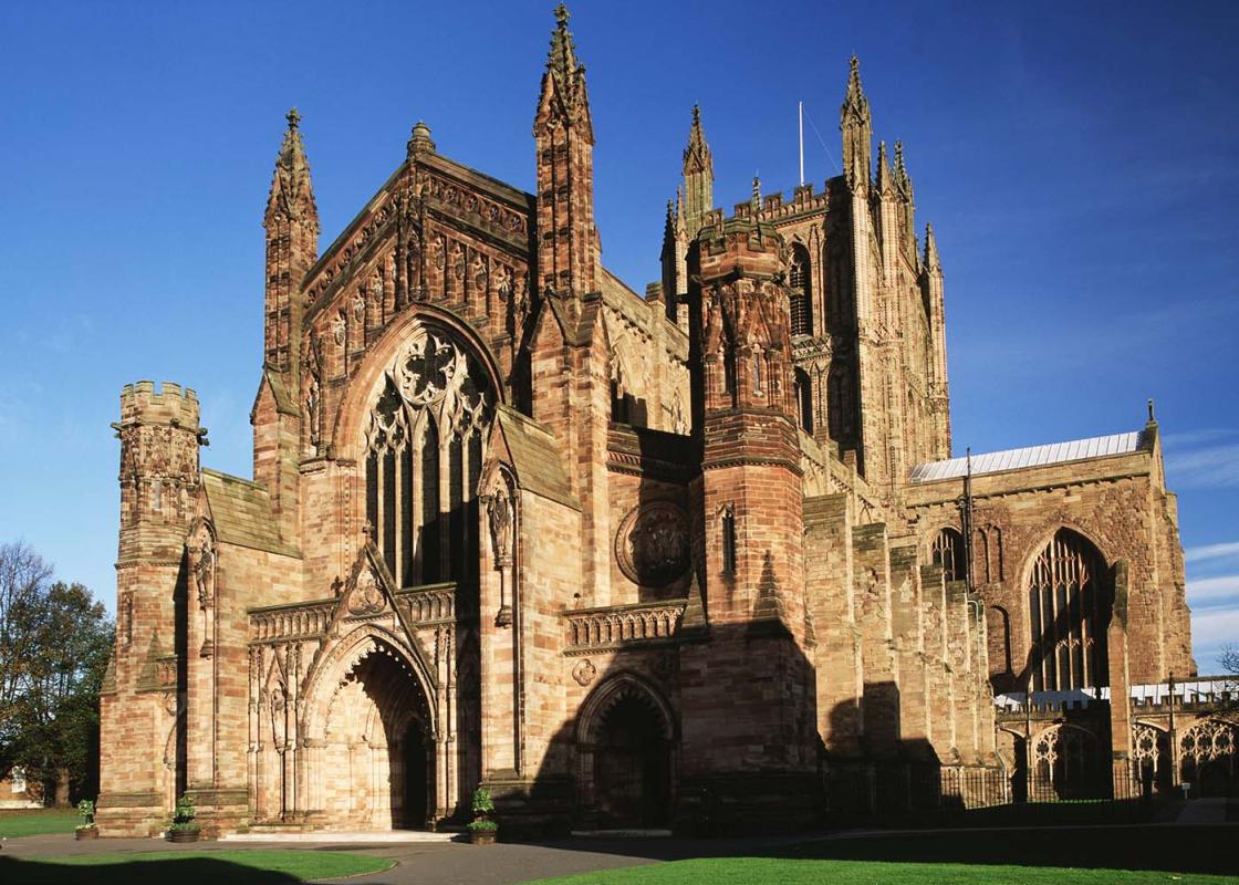
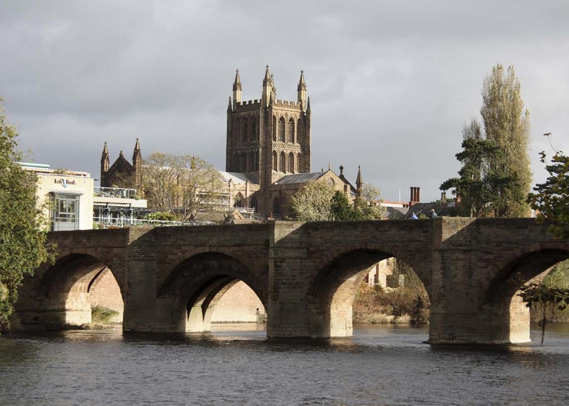
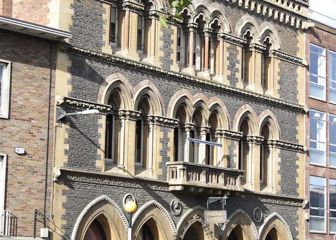
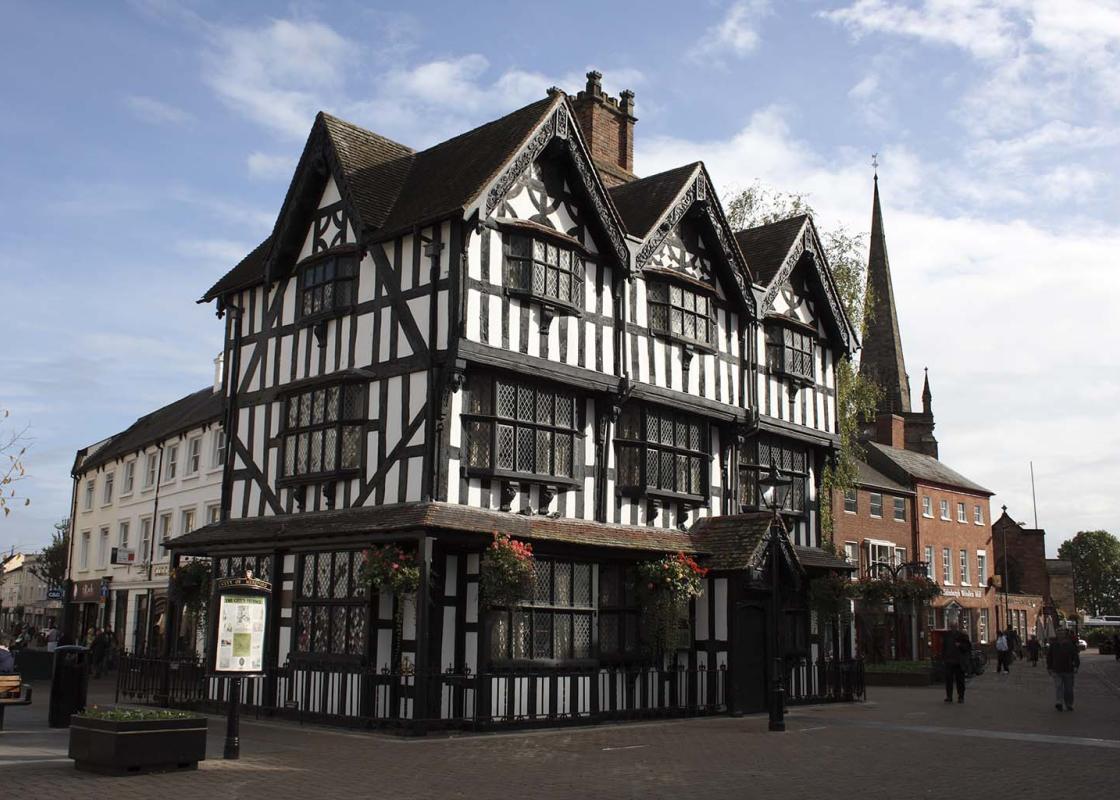
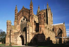
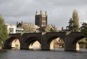
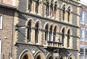
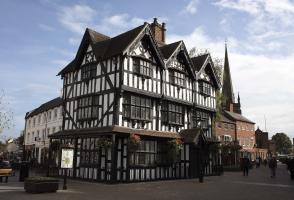
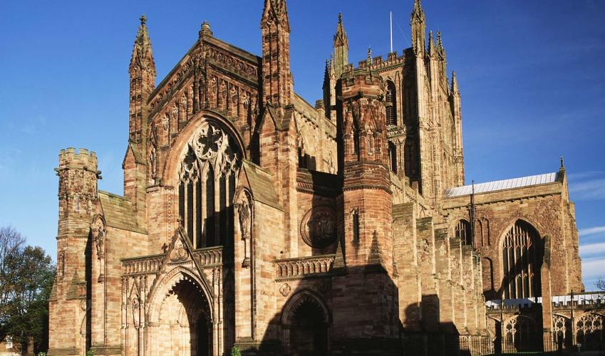
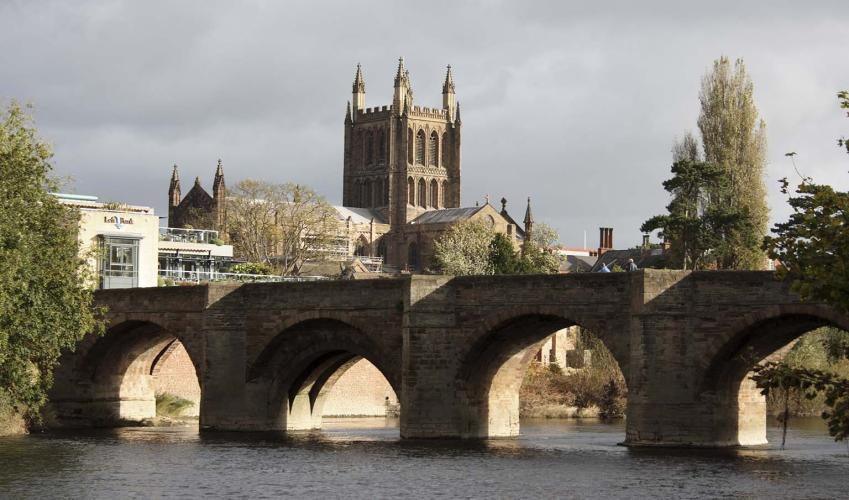
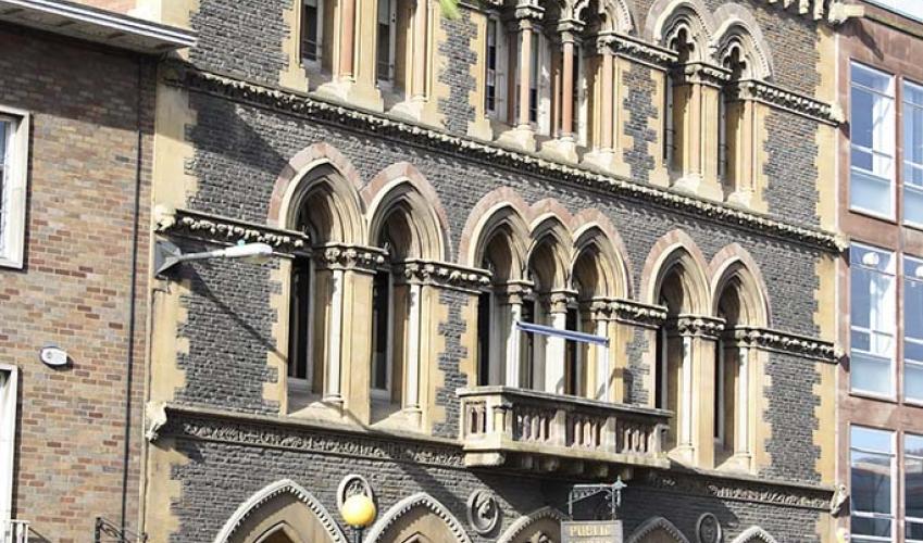
Briefly detour left along Bath Street to see a remnant of the old city wall opposite the Magistrates’ Court, then return to go down Union Street beside the Kerry pub. Union Street leads to St Peter’s Square. Just to the left along St Owen’s Street is the Town Hall, which was opened in 1904. Turn around and walk back past St Peter’s Church into High Town. A short distance past the Black & White House Museum swing left through an archway down a narrow passage, Capuchin Lane. It leads into Church Street and on to the cathedral, where the famous Mappa Mundi can be seen.

Been on this walk?
Send us photos or a comment about this route. Or recommend a route of your own.

Walking in Safety
Read our tips to look after yourself and the environment when following this walk.

Get an AA guide
Explore our range of ‘50 Walks in’ guides - they’re the ideal companion for a ramble.
Been on this walk?
Send us photos or a comment about this route. Or recommend a route of your own.
Walking in Safety
Read our tips to look after yourself and the environment when following this walk.
Get an AA guide
Explore our range of ‘50 Walks in’ guides - they’re the ideal companion for a ramble.
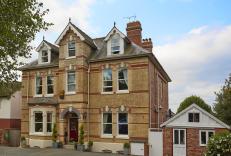
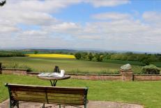
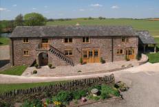
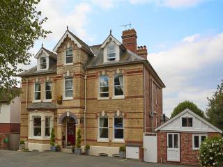
Nearby places to stay
View all (8)