Additional information
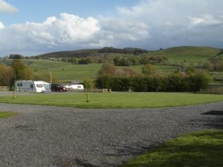
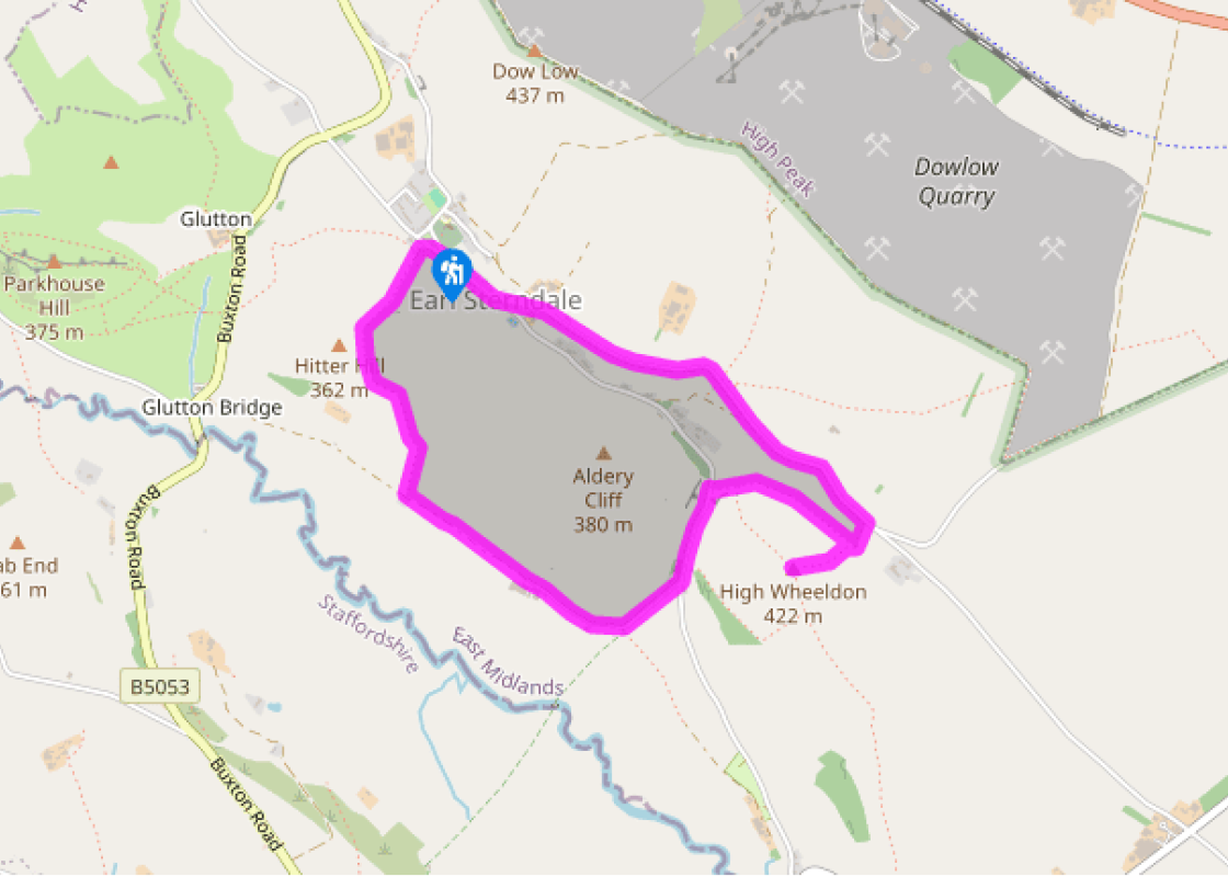
Terrain
- Field paths and lanes, steep grassy slopes liable to be slippery when wet; several stiles
Landscape
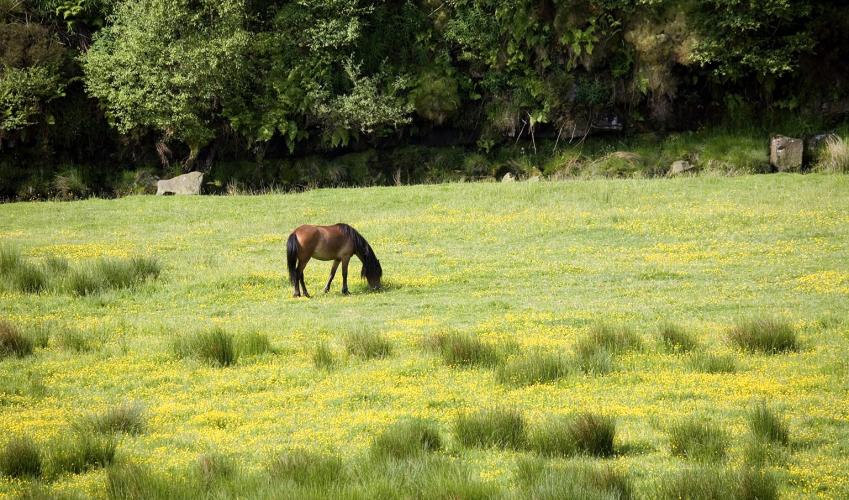
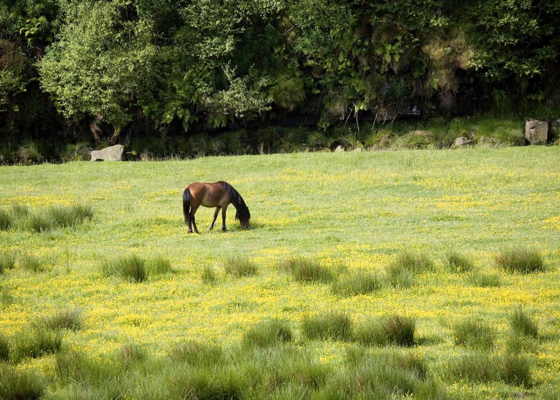
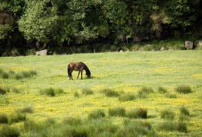
- Narrow limestone valley of mainly pasture
Dog friendliness
- On lead around livestock and on National Trust land
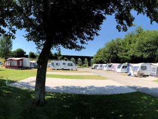
Parking
- Earl Sterndale village centre
Toilets en route
- None on route; nearest at Longnor, south on B5053
About the walk
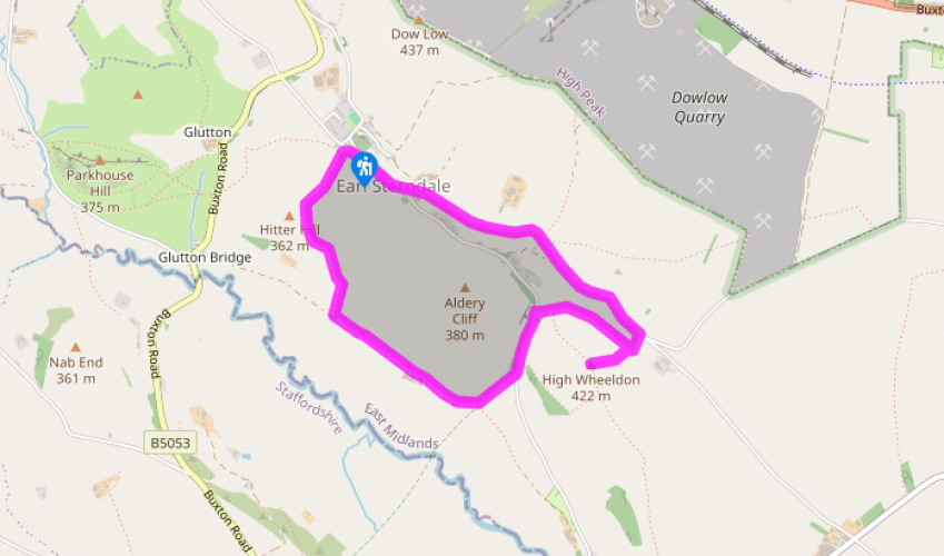
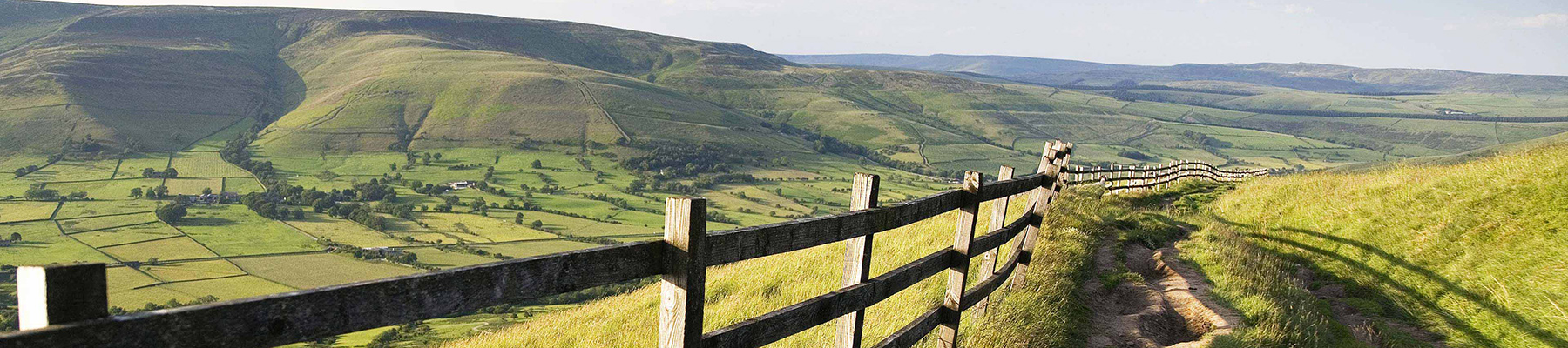
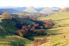
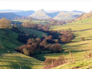
The River Dove is rightly acclaimed as one of the Peak District’s most scenic rivers, but while the lower end of the valley receives most of the visitors, the upper reaches are, if anything, more spectacular. Instead of an enclosed wooded dale with cliffs, caves and scree, the landscape is much... more open but wilder, characterised by shapely peaks with smooth grassy sides and occasional bare limestone. Parkhouse Hill and Chrome Hill are two of the most eye-catching but the huge domed lump of High Wheeldon is also worth seeking out and easier to scale. It’s rather tucked away on the northern side of the valley, between Earl Sterndale and Crowdicote, but the 360-degree view from the summit is magnificent. The walk up to the very top follows well-worn footholes in the steep grassy slope – it’s straightforward enough, but whatever your fitness it will make you puff. Access land The walk begins at the village of Earl Sterndale and soon makes for the slopes of Hitter Hill and the upper lip of the Dove Valley. The hilltop is designated access land, so you can divert to the low rounded summit for the views if you wish. The route now descends to the lush valley bottom, before swinging sharply round to the foot of High Wheeldon. The sight of the hill’s massive southern slopes towering above, albeit smooth and green, is rather daunting, but your route to the top takes you round the back and approaches via the easier, northern shoulder. Memorial It’s certainly worth the effort, with the 1,384ft (422m) panorama stretching many miles. At your foot is the Dove Valley, with the River Manifold across the ridge; and beyond that the Staffordshire moorlands fill the horizon, stretching round towards Axe Edge Moor and the source of the River Dove at the head of the valley. To the north the tip of the limestone quarries of Hindlow and Dowlow are just visible, with the distant outline of the Kinder massif far beyond. As a plaque on the summit trig point explains, High Wheeldon was presented to the National Trust in 1946 by Mr F A Holmes of Buxton as a memorial to the men of Derbyshire and Staffordshire who fell in the World War II. On the northwest side of the hill is Foxhole Cave. Its small entrance is kept locked by a sturdy iron gate for archaeological reasons, since excavations have unearthed evidence of early human activity, including neolithic implements and old animal bones, which are on display at Buxton Museum. The cave system extends for about 80ft (24m) along a series of passages and chambers.
Read more
Derbyshire
The natural features of this central English county range from the modest heights of the Peak District National Park, where Kinder Scout stands at 2,088 ft (636 m), to the depths of its remarkable underground caverns, floodlit to reveal exquisite Blue John stone. Walkers and cyclists will enjoy the High Peak Trail which extends from the Derwent Valley to the limestone plateau near Buxton, and for many, the spectacular scenery is what draws them to the area.