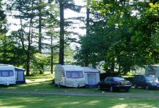
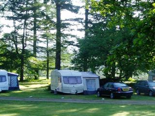
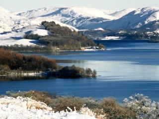
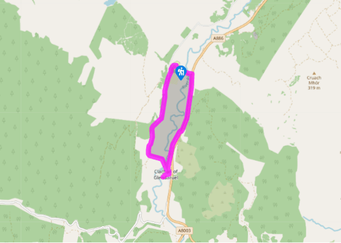
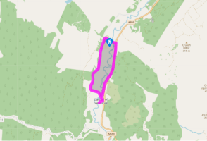
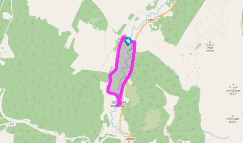
Clachan of Glendaruel
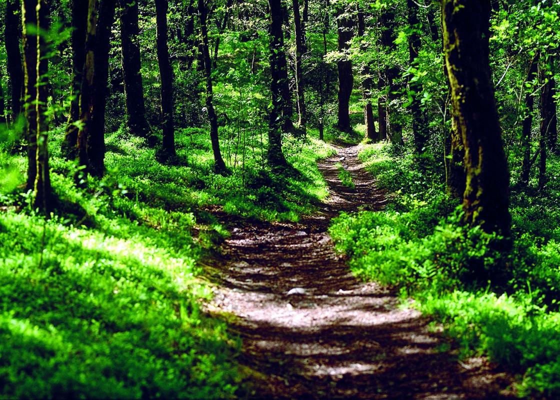
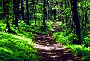
From the car park head towards the site shop and office. Then keep left on the road passing it to go past a wooden lodge on your left. Continue into the wooded area and follow a footpath through the woods to reach a track. Turn right onto this and follow it to join narrow country lane at the Lucknow Gates.
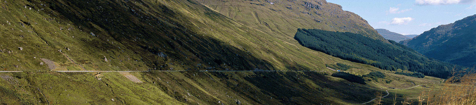
Turn left and proceed along the lane. This may be the oldest road in Glendaruel and is shown on George Langland’s Map of Argyll in 1801. After a mile and a half you will cross an old stone Telford bridge then pass a children’s play park.
Turn right onto a path then at a T junction, right again onto the main road. Continue through Clachan of Glendarual to reach a red telephone box on your right. Turn right here, then when the lane forks, keep left to gain access to Kilmodan Churchyard.
From here return to the main road through the hamlet and turn left onto the path you came up at point (3). Cross the road and continue along a track. This is part of the old road through the glen by the great Dumfriesshire engineer, Thomas Telford, and runs parallel to the modern main road.
Keep on this, passing houses, crossing occasional muddy sections and continuing through a tree-lined section to exit onto a narrow lane and shortly afterwards turn left into the drive to Glendaruel Caravan park and return to the start.
Turn right and follow the path through the trees to the north banks of Lochan Spling. The path then swings left and, at the end of the Lochan, turns right at a waymarker pole, crosses a small stream and heads slightly uphill.
When the path reaches the T-junction, turn left and rejoin the main forest access road continuing along it to the Covenanters' Inn. This takes its name not from the activities of the 17th-century Scottish Presbyterians, who were persecuted by the Stuart monarchy for refusing to give up their faith, but from the subsequent activities of 20th-century Scottish Nationalists.
Continue past the inn, where a later group of Nationalists temporarily hid Scotland's Stone of Destiny when it was liberated from Westminster Abbey in 1950, and then turn left on to Manse Road at the junction and return back to the start.
Been on this walk?
Send us photos or a comment about this route. Or recommend a route of your own.
Walking in Safety
Read our tips to look after yourself and the environment when following this walk.
Get an AA guide
Explore our range of ‘50 Walks in’ guides - they’re the ideal companion for a ramble.
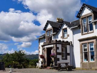
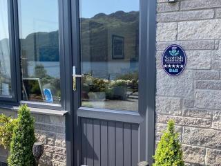
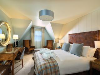
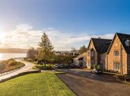
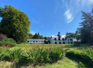
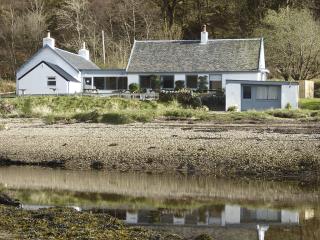
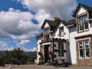
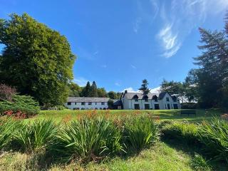
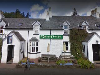
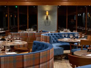
Nearby places to stay
View all (8)
- Launderette
- Ice pack facility
- BBQ
- Picnic Area


