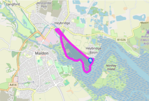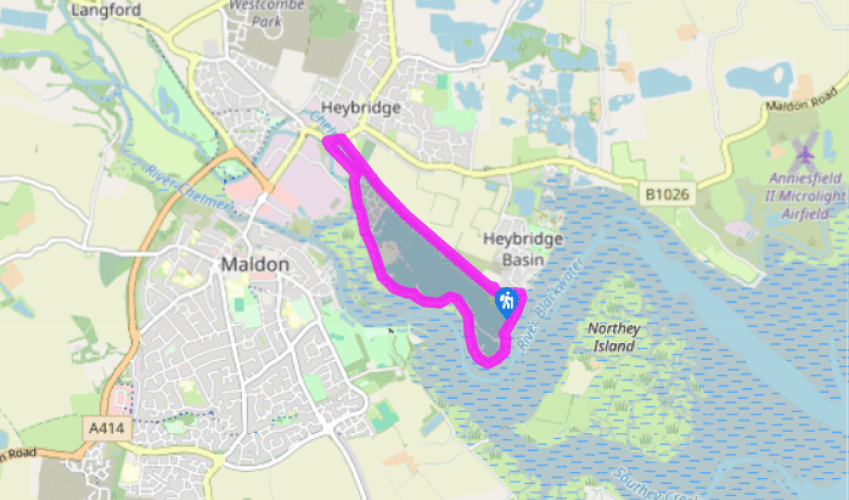

Around Heybridge Basin
From the car park go up a set of steps at the far end on to the tow path. Turn left and at The Old Ship public house, turn right onto the footbridge over the lock and walk along the embankment. To your left is Northey Island and behind that is the privately owned Osea Island. Today, Northey Island is a Site of Scientific Special Interest (SSSI) and can only be reached at low tide via a causeway. To your right, across marsh and heathland are views of Maldon. As you continue towards the town look out for the spire of the 12th century St Mary’s Church, which because of its location serves as a navigational aid for incoming shipping. Across the river you will see the attractive Edwardian park, built in 1895 as a recreational centre for local people and visitors. To the right of the park is Hythe Quay, where several Thames sailing barges with their characteristic sprit sail rigs are berthed. Their shallow draft allowed them to sail the muddy creeks and inlets of the Essex and Kent coasts, but they became redundant following the development of road transport.
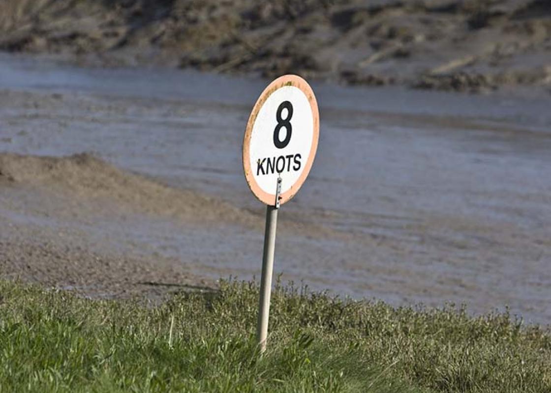
At a bench, follow the embankment path as it curves right. The Blackwater Estuary attracts around 75,000 birds including up to 1,000 knots. The salt marsh, channels and creeks that ebb and fill with the rising tide provide the perfect food source. During January and February these wading birds can be seen in large flocks along with wintering raptors such as merlins and hen harriers.
After about 0.25 mile (400m) look to the left to see the statue of Byrhtnoth and continue along the footpath for about 1 mile (1.6km) towards industrial installations.

Been on this walk?
Send us photos or a comment about this route. Or recommend a route of your own.

Walking in Safety
Read our tips to look after yourself and the environment when following this walk.

Get an AA guide
Explore our range of ‘50 Walks in’ guides - they’re the ideal companion for a ramble.
Been on this walk?
Send us photos or a comment about this route. Or recommend a route of your own.
Walking in Safety
Read our tips to look after yourself and the environment when following this walk.
Get an AA guide
Explore our range of ‘50 Walks in’ guides - they’re the ideal companion for a ramble.
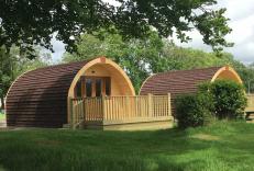
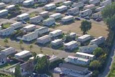
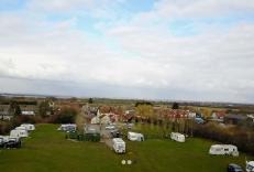
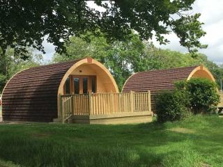
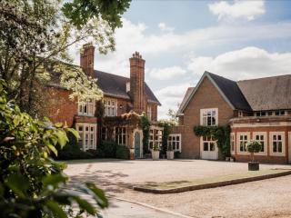
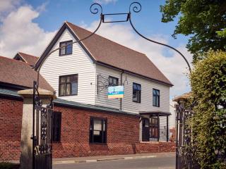
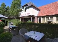
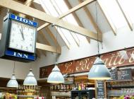
Nearby places to stay
View all (8)