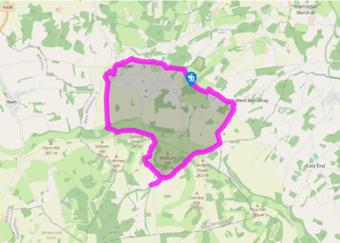
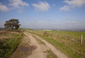
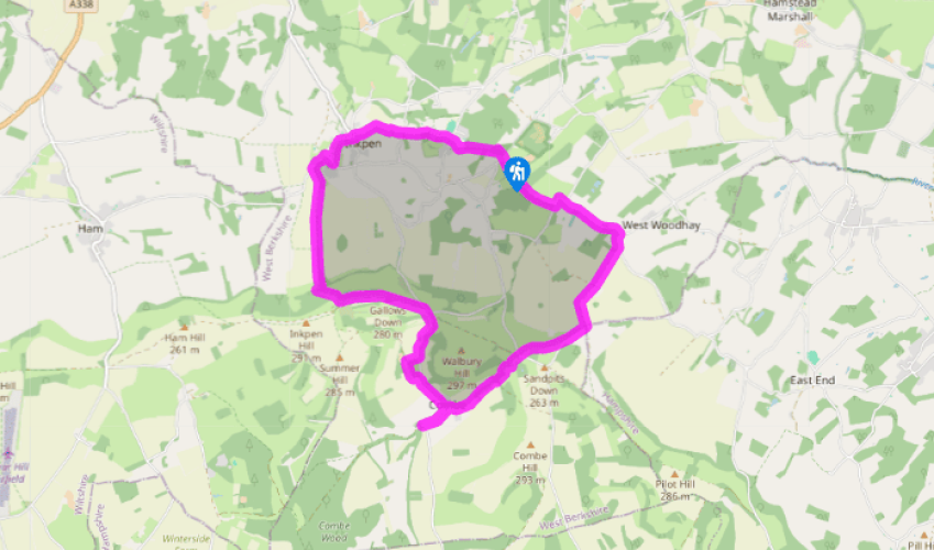
From Inkpen to Combe Gibbet
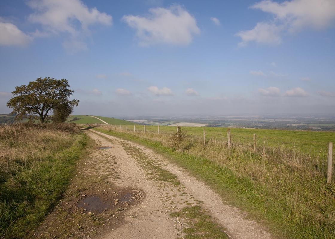
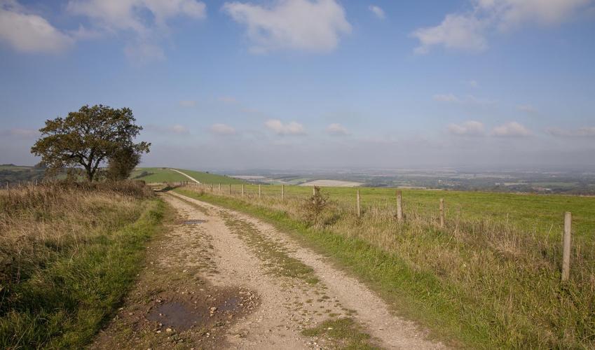
Cross over the road from the pub and follow the waymarked track, passing the entrance to the thatched cottage opposite the pub. Keep right at the first fork, then almost immediately fork left. Follow the woodland trail to a junction of paths by an old marker stone and swing left. Keep to the path, skirting the woods. Emerge from the trees, pass thatched Mistletoe Cottage and turn right at the first kissing gate. Follow the path through the field to a kissing gate. Cross the road to a lane and follow it; this becomes a stony track and heads round to the right. Go through a gate on the left and descend two steps (second one is steep) between wire fences to two kissing gates. Cross the field towards Manor Farm, and go through a kissing gate, across the lane.
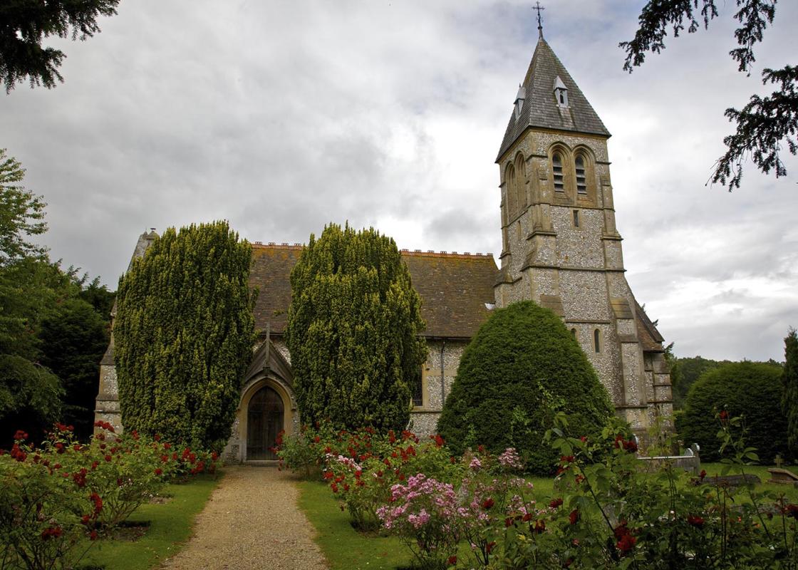
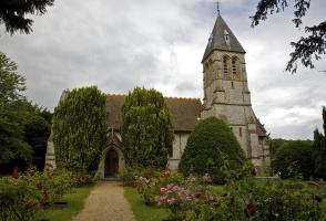
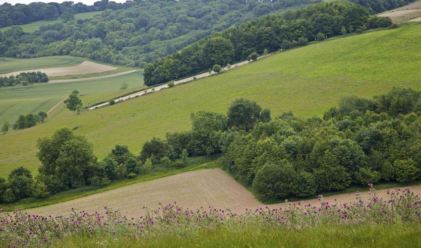
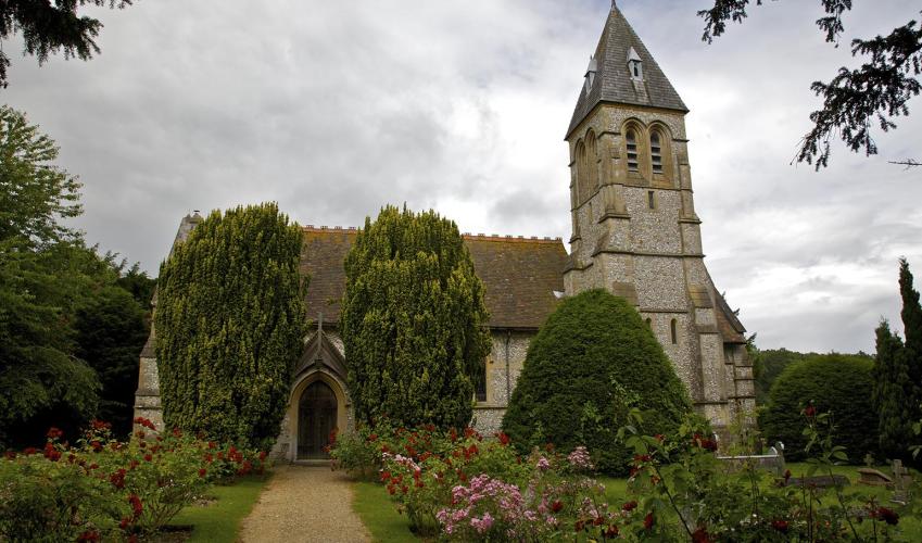
Follow a path between fences to the right of Manor Farm. Continue on this path, then bear left at the opening. After a few paces go through a kissing gate and follow sections of boardwalk. Cross a footbridge, pass a tree house on the right, then go alongside a beech hedge to the road. Bear left, signed ‘Ham and Shalbourne’. After Westcourt Cottage turn left to a gate, then cross a stile and follow the fence. Cross into the next field via a stile, towards Inkpen Church and another stile. Go over this, turn right down to the junction. Bear left, pass the 30mph sign and then the village sign (facing the other way to you), and swing left to follow a waymarked track. Continue through the metal gate to the next waymark, then keep a line of trees and bushes on the right before heading out across open fields. Make for the next waymark and keep ahead between the trees.
The path climbs gradually to reach a gate and waymark. Go through the gate then start ascending steeply, diagonally left. As the path reaches the summit and bends left, look straight ahead for a gate in the field boundary. Go through here, aiming for a metal gate ahead, and turn left to join a byway. Follow the track to Combe Gibbet, set in a small gated enclosure. Continue down the track to the road.
At the road turn right, downhill. Turn right at the entrance to Wright’s Farm and continue to the farmhouse and outbuildings. Bear left at the waymark and follow the track as it curves back to the road. Turn right to the village of Combe. With the village houses to your left, make a detour, continuing to follow the road round to the right. After a few paces ascend a path on the left that runs beside the road. The road switches back sharply on itself at the entrance to Combe Manor. To the left of this a drive leads to St Swithun’s Church, hidden from view to the left. To the right of the entrance to the house is a field (used for church car parking) with a view of the gibbet against the skyline. Walbury Hill (974ft/297m), the highest chalk summit in Britain, can be seen from here, blending with the ridge of the downs. Return to the centre of the Hamlet.
Turn right, signed to Lower Farm. Pass a footpath on the right and keep ahead on the track. On reaching the buildings of Lower Farm, follow the waymarked byway; the track climbs steadily between trees. At a right-hand bend, look for a public bridleway sign and veer left off the track, passing through a gate. Follow the bridleway to a fork and veer left to join a sunken path. To your left the buildings of Combe can be seen below. Continue to the next fork and keep right. The path now disappears. Climb up above clumps of gorse bushes, go to the left of a small tree and keep ascending. At the top boundary of the field, over towards the left (but not in the very corner), look for a stile. Go over it, onto the track, turn right and head downhill.
Cross the road to a gate and head diagonally left down the field, towards the left-hand corner of the copse ahead. Follow the path as it veers to the left of the woodland, making for a gate in the fence. Go through the gate to walk down the lane for 200yds (183m), then turn left off the lane at the bridleway sign. Follow the path straight ahead, between fields, sweeping right to pass Highwood Farm.
Join a concrete track and follow it, left, to the road. Turn left, keep left at the next junction and pass St Laurence’s Church. Pass West Woodhay House and a turning for Kintbury, and follow the road round a left bend. Turn right 80yds (73m) beyond it at a restricted byway sign. Continue straight on past Prosser’s Farm to return to the Crown and Garter.
Been on this walk?
Send us photos or a comment about this route. Or recommend a route of your own.
Walking in Safety
Read our tips to look after yourself and the environment when following this walk.
Get an AA guide
Explore our range of ‘50 Walks in’ guides - they’re the ideal companion for a ramble.
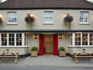
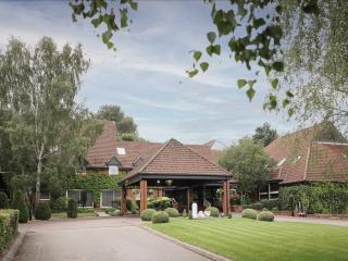
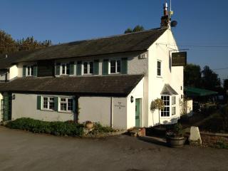
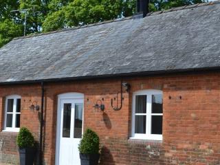
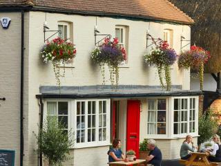
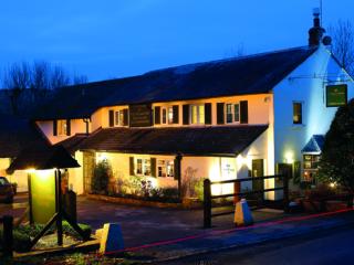
Nearby places to stay
View all (8)
- Rooms 7
- Free TV
- Wifi
- Open parking
- Rooms 25
- Free TV
- Wifi
- Family rooms: 0
- WiFi available
- Lift available


