Additional information
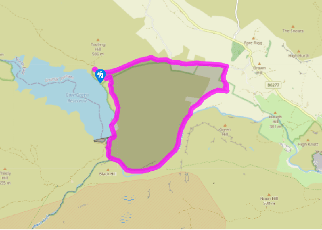
Terrain
- Lane, track and riverside path, which is occasionally rugged, a short simple scramble beside the waterfall, 2 stiles
Landscape
- Moorland and rough pasture
Dog friendliness
- Dogs should be kept on leads
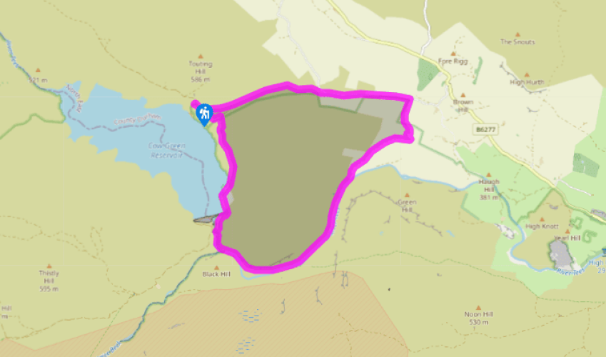
Parking
- Car park at Cow Green
Toilets en route
- Toilets open at car park during summer months
About the walk
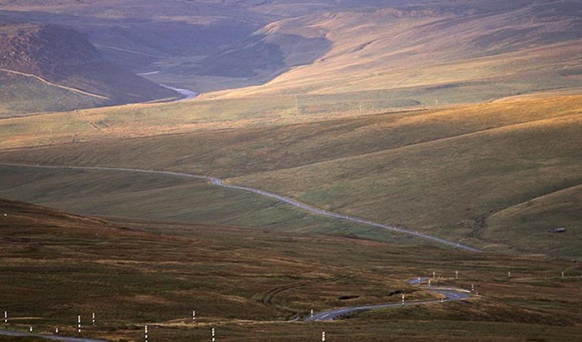
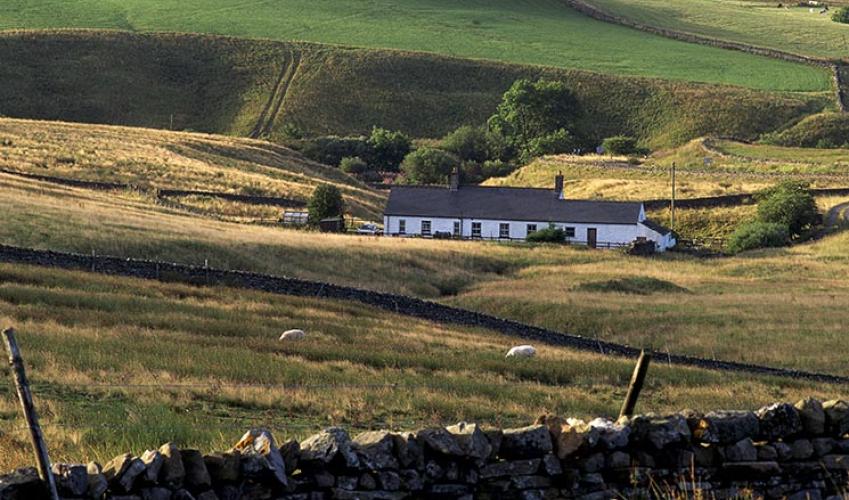
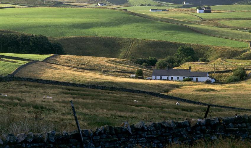
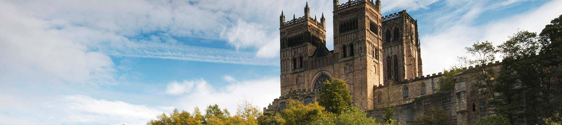
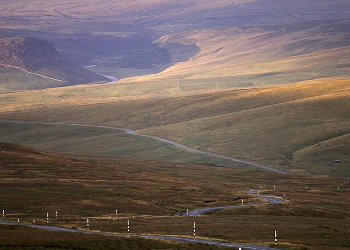
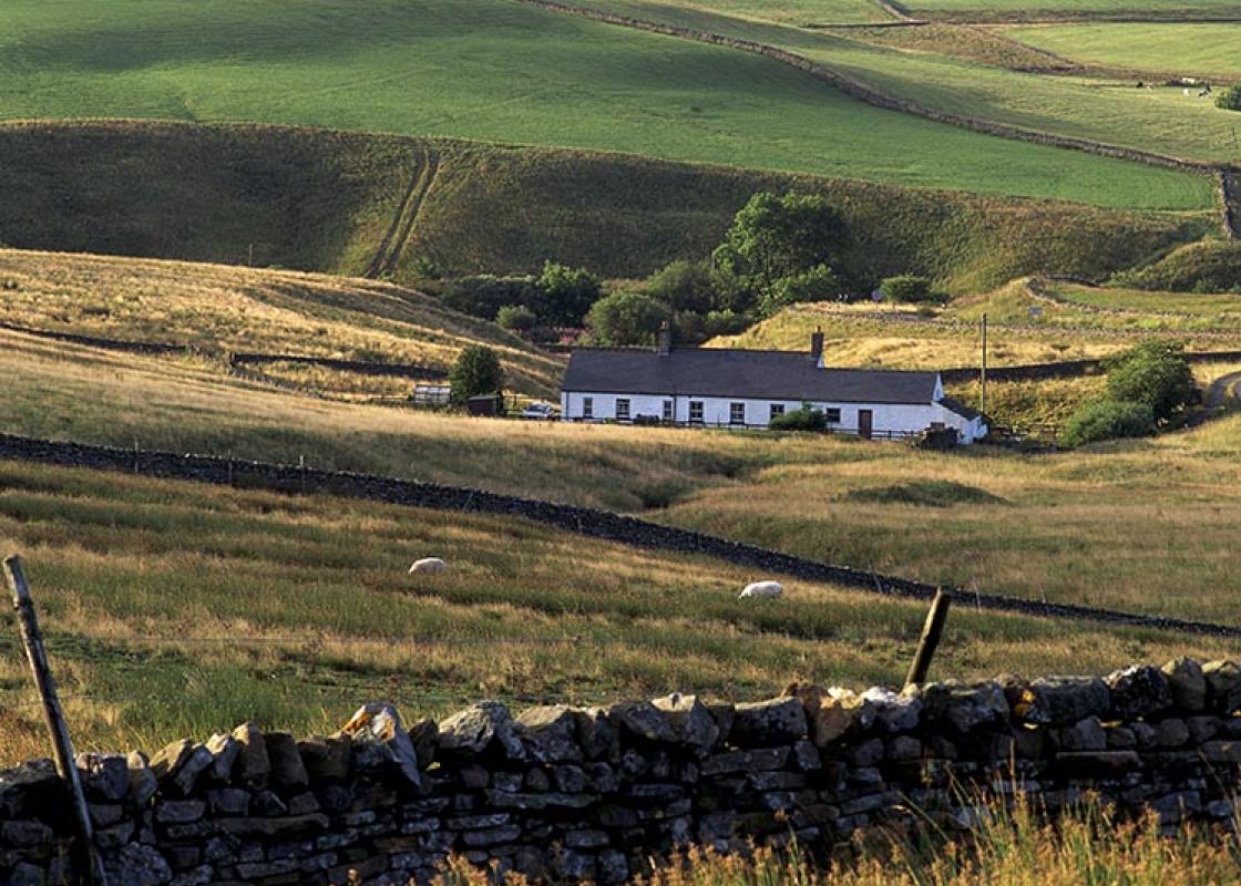
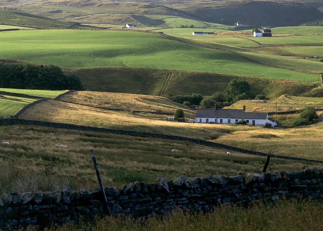
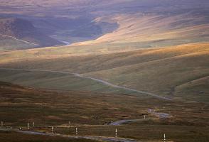
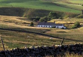
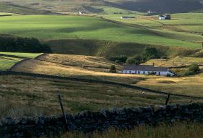
Cow Green was once a sleepy backwater of Upper Teesdale, a remote farming and lead-mining community. Here the Tees, barely down from its birthplace on the windswept expanses of Cross Fell, meandered in a wide heather and marsh basin. There were two famous views: the first, the Teesdale Wheel, where... the Tees flowed in a huge circle, and the second, Cauldron Snout, lay just beyond, where the river thundered down dolerite cliffs in one of Britain’s most spectacular waterfalls. Unique plants It had long been known that the area was of great interest to botanists, and teams had often made pilgrimages here to see the unique collection of arctic alpine plants. In the 1950s and 60s there were rumours. Darlington needed more water and they had their eyes on Cow Green. Conservationists were up in arms. Letters were sent to The Times; scientists from all over the world protested that the site was just too valuable. Alfred Wainwright joined the protesters with the first edition of his little green Pennine Way Companion. He declared that to flood this land would be a desecration. A public enquiry was set up. Cow Green was chosen. Scientists and volunteers were allowed access to the site before flooding in order to remove specimens of the rare species and replant them above the proposed water line. By 1970 the dam had been built, the waters rose slowly, but surely, above the Teesdale Wheel until it was no more, and to the top of the concrete. Only Cauldron Snout survived. What made Cow Green so special? It is believed to be the harsh climate and the presence of sugar limestone, a rock that has been baked by the intrusion of molten whin sill, the other predominant rock of the region. Behaving and looking like sand, its soils support a multitude of species including spring gentian, dog violet, thyme, harebell, shrubby cinquefoil, bird's-eye primrose and spring sandwort. The Teesdale violet only grows on Widdybank Fell, and tracts of juniper helped the survival of a large bird population. Over the fell to the river The area is part of the Moor House-Upper Teesdale National Nature Reserve, which encompasses 18,285 acres (7,400ha) of the headwaters of the Tees. To begin, the route heads east over Widdybank Fell to join the Tees downriver. It’s a fascinating course, across the fields of lonely Widdy Bank Farm, through the meandering, ever tightening, valley of the Tees and between the jumbled rocks of Cronkley Fell and Falcon Clints. Each corner brings a new view, but each corner takes you further from civilisation, into a world of dark and dramatic heather hillscapes. The Tees is wide and shallow, and splashes over a bouldery bed, but the path is occasionally squeezed across rocky falls below Falcon Clints. On to Thundering Cauldron Snout Then you come to Cauldron Snout. Cow Green Reservoir hasn’t stopped it foaming and it still thunders down those dolerite cliffs. An exciting path scrambles up by its side to the dam and continues above the eastern shore along a nature trail laid out by Natural England. Remember to pick up a booklet from the car park or Widdy Bank Farm for its interpretation.
Read more