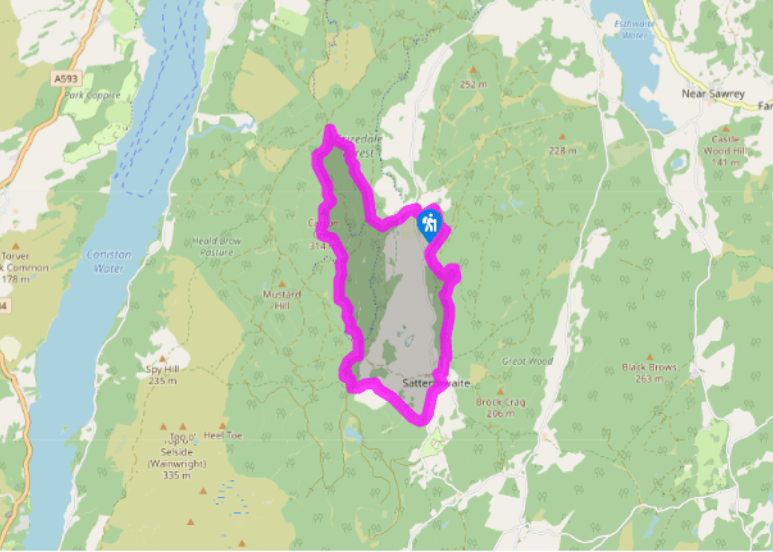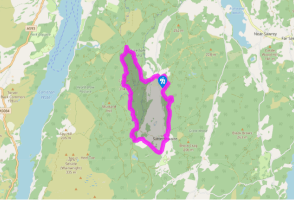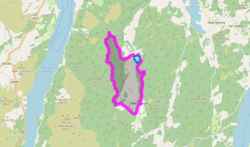
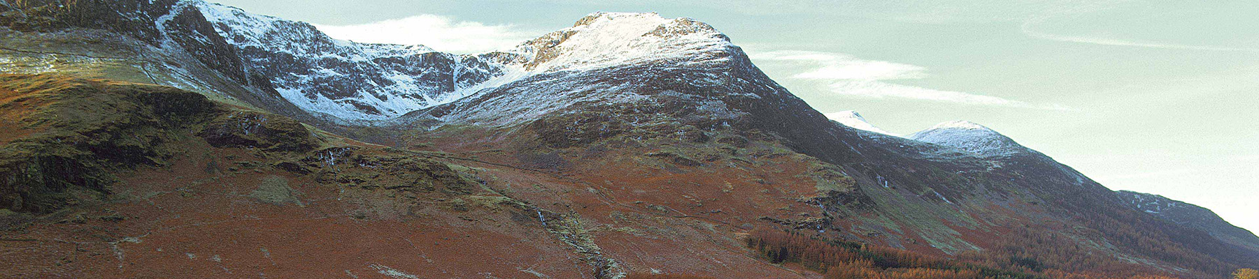
Grizedale forest trails
Recommended by

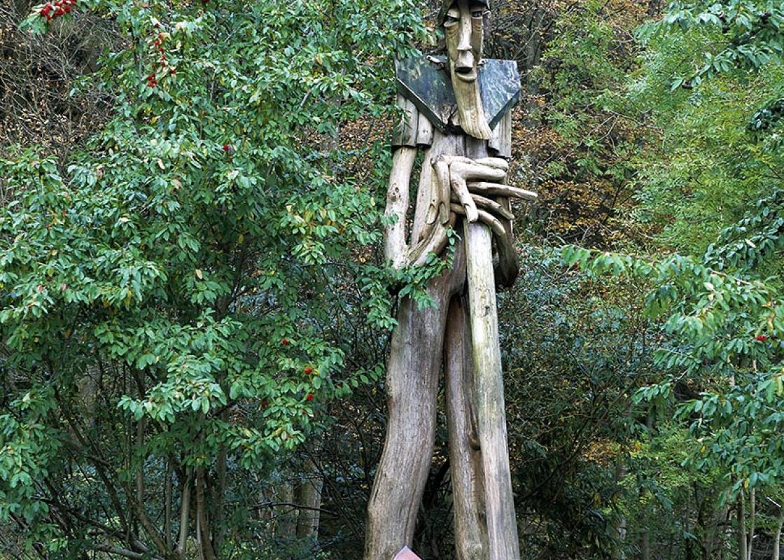
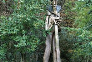
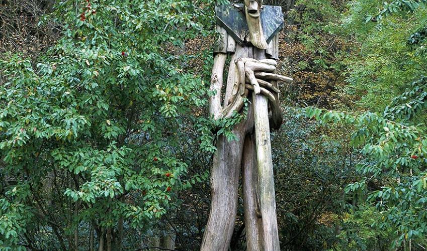
"Wandering through Cumbria's only 'interactive' woods."
Walk directions
With your back to the café, go under the arch by the shop, out to a lane and turn right. After crossing a stream, the bike routes go left on a track. Go straight ahead up a waymarked path with a few steps. The path leaves and recrosses a bridleway before reaching a forestry road, where you turn right.
Pass another bridleway, then the exit of the black bike route, before forking left up a stony track with green and red waymarks, climbing steadily. After dipping to ford a couple of streams, a narrow path on the left cuts across to a forestry road just above. Turn left and follow the road south. Keep left then, where the track bends sharp left, go straight ahead on a path which wriggles through trees and scrub to the summit trig point.
View all directions
Additional information
Terrain
- Forest tracks and woodland paths
Landscape
- Conifer plantations and mixed woodland
Dog friendliness
- Most of the route is shared use, with many cyclists around. Keep dogs under close control
Parking
- Large car park just south of Visitor Centre
Toilets en route
- At Visitor Centre
About the walk
Grizedale has always been at least partly forested, from the time when wild boar were hunted here by Norman barons to the present day, when 6,047 acres (2,447ha) are covered, mainly with conifers. Perhaps the guilt of planting all those gloomy Christmas trees got too much for the foresters in the...
Read more

Been on this walk?
Send us photos or a comment about this route. Or recommend a route of your own.

Walking in Safety
Read our tips to look after yourself and the environment when following this walk.

Get an AA guide
Explore our range of ‘50 Walks in’ guides - they’re the ideal companion for a ramble.
Been on this walk?
Send us photos or a comment about this route. Or recommend a route of your own.
Walking in Safety
Read our tips to look after yourself and the environment when following this walk.
Get an AA guide
Explore our range of ‘50 Walks in’ guides - they’re the ideal companion for a ramble.
About the area
Cumbria's rugged yet beautiful landscape is best known for the Lake District National Park that sits within its boundaries. It’s famous for Lake Windermere, England’s largest lake, and Derwent Water, ‘Queen of the English Lakes', but other lesser-known areas in the south, such as the Lune Valley and the coastal towns, are secret gems of wide cobbled streets and rolling hills.
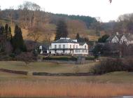
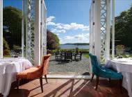
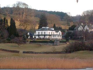
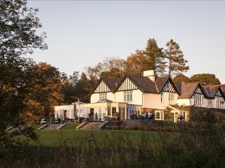
Nearby places to stay
View all (8)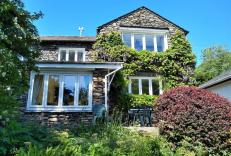


Nearby places to stay
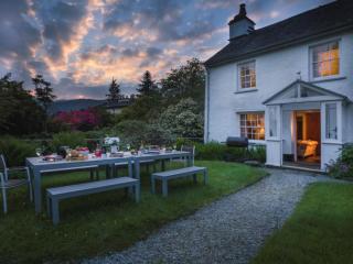
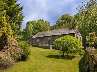
Waingarth Cottage
In the picturesque Lake District village of Satterthwaite, Waingarth Cottage is a traditional, stone-built dwelling sandwiched between the iconic lakes of Windermere and Coniston Water....
Waingarth Cottage
In the picturesque Lake District village of Satterthwaite, Waingarth Cottage is a traditional, stone-built dwelling sandwiched between the iconic lakes of Windermere and Coniston Water....
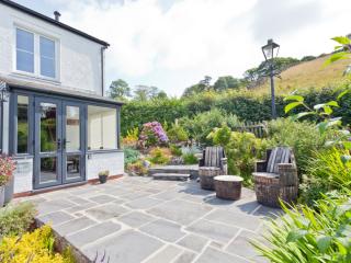
Somewhere Cottage
Somewhere…over the rainbow, maybe, this super cottage is near the north-east shores of Coniston Water, with Coniston village just a short way around the top of the lake. Built in tradit...
Somewhere
Somewhere…over the rainbow, maybe, this super cottage is near the north-east shores of Coniston Water, with Coniston village just a short way around the top of the lake. Built in tradit...
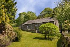
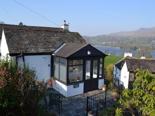
Mole's Cottage
Mole's Cottage is on the eastern side of Coniston Water, sitting in an elevated position above the lake. As you'd expect there are breath-taking views of the lake and the mountains, as ...
Mole's Cottage
Mole's Cottage is on the eastern side of Coniston Water, sitting in an elevated position above the lake. As you'd expect there are breath-taking views of the lake and the mountains, as ...
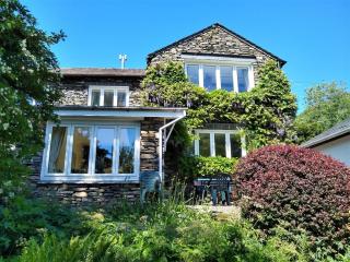
Badger's Cottage
A charming & idyllic hideaway situated on the eastern side of Coniston Water.With an elevated position above the lake, Badger's Cottage offers breath-taking lake and mountain views towa...
Badger's Cottage
A charming & idyllic hideaway situated on the eastern side of Coniston Water.With an elevated position above the lake, Badger's Cottage offers breath-taking lake and mountain views towa...
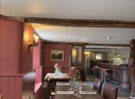
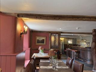
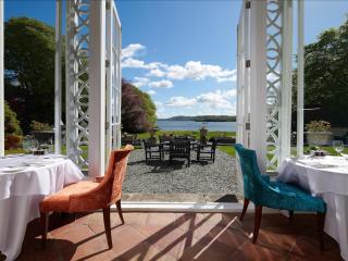
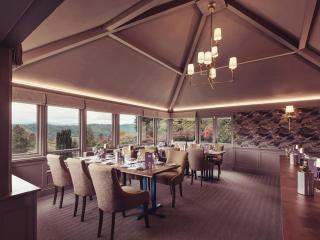
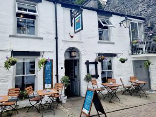
Places to eat nearby View all