Castleton, Cave Dale and Blue John Caverns
Recommended by

"A glacial meltwater valley and Blue John Caverns"
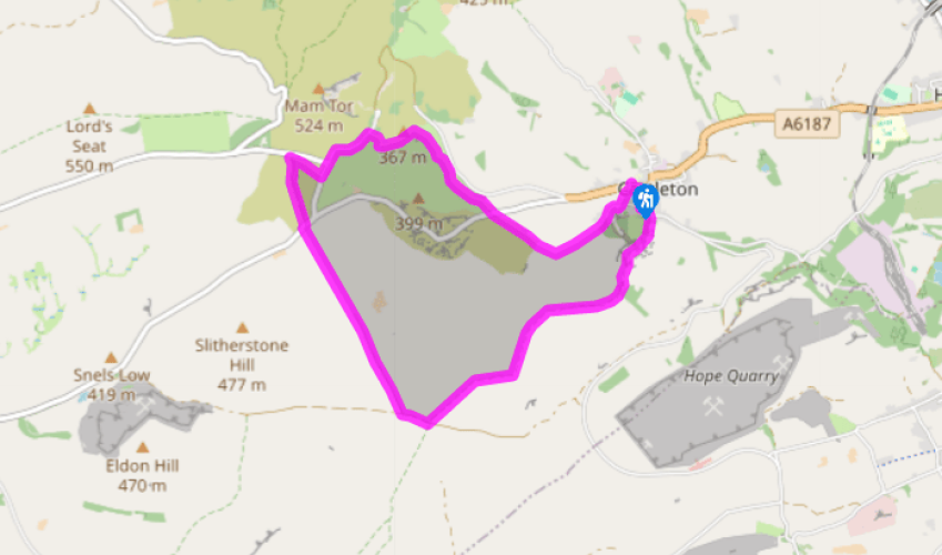
Walk directions
From the car park turn left up the main street and then right to walk along Castle Street, passing the church on your way. Bend left then right with the road through Market Place leaving the small triangular green on your left and rising to the start of Pindale Road.
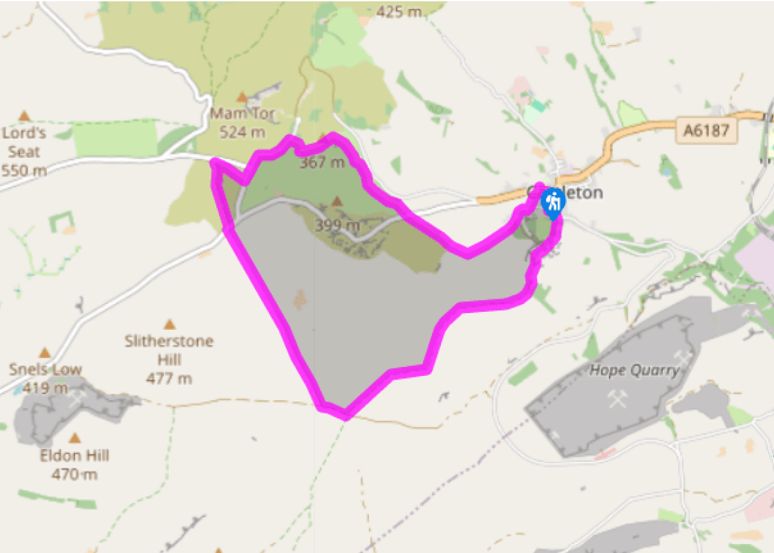
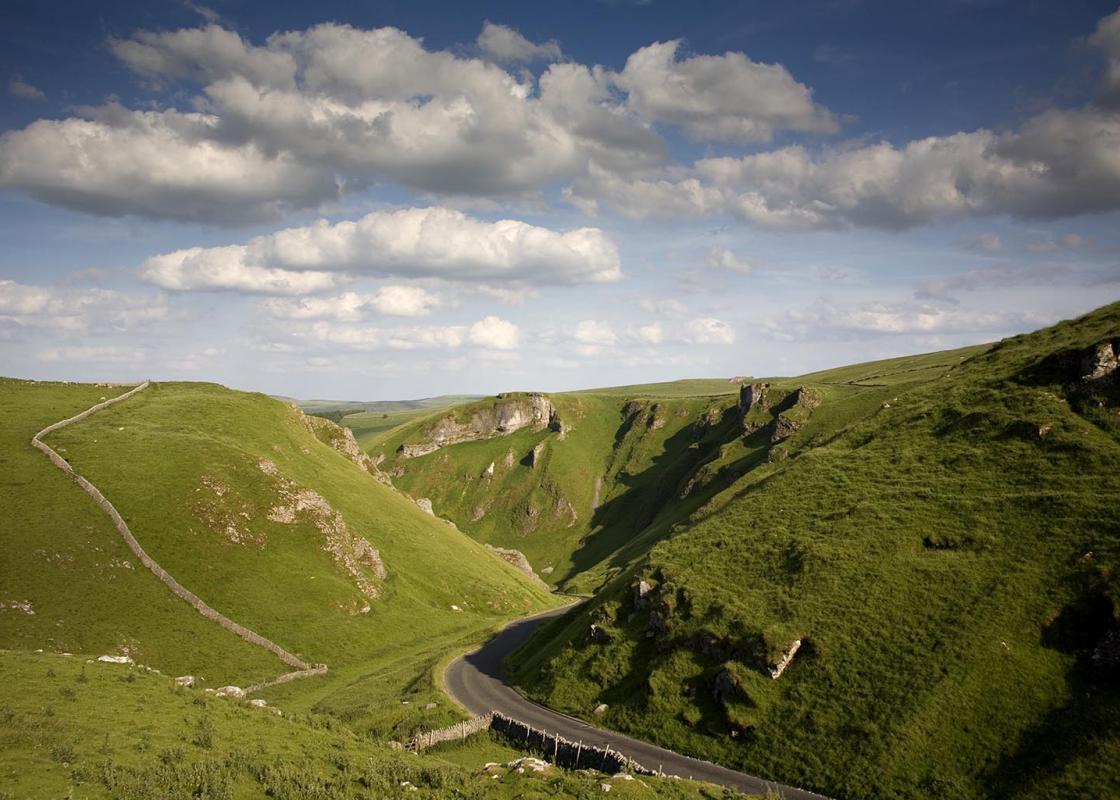
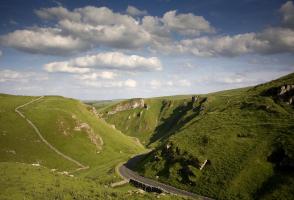
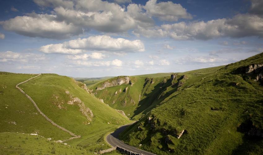
As the road bends left, turn off right between cottages into Cave Dale. Through a gate, the path enters the narrow limestone gorge, overlooked by the ruined keep of Peveril Castle perched on the cliffs above to the right. As you gain height, the gorge shallows and passes through a wall via a gateless gateway and a track joins from the right near a permissive access path.
View all directions
Additional information
Terrain
- Limestone can be slippery when wet
Landscape
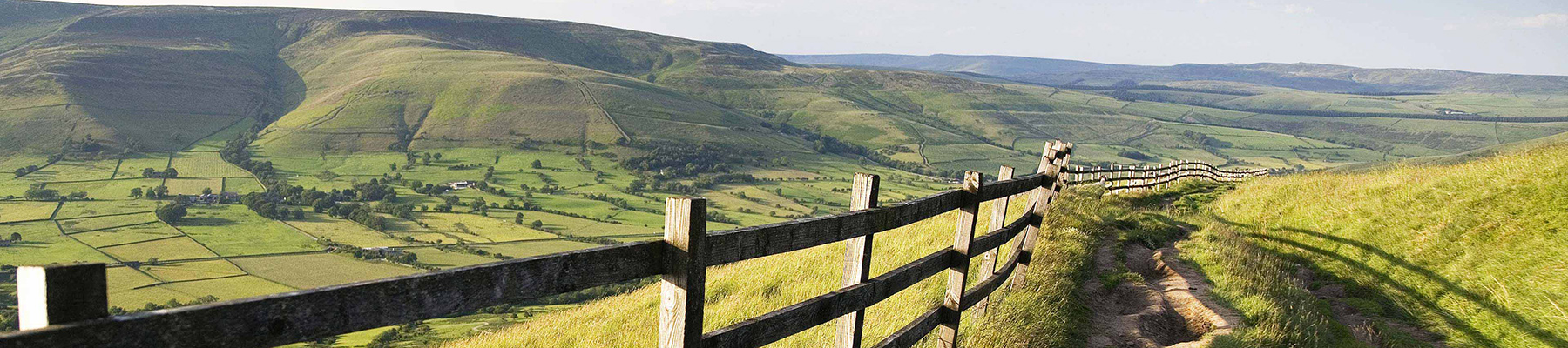
- Limestone ravines and high pastureland
Dog friendliness
- Farmland; dogs should be kept on lead
Parking
- Main Castleton pay car park by visitor centre
Toilets en route
- At car park. Free public toilets also available at Treak Cliff cavern when open
About the walk
Castleton is the last settlement before the Hope Valley narrows and squeezes into the rocky ravine of Winnats. It’s a bustling tourist town with a history evident back to Norman times, and a geology that has been responsible for many of its successes and most of its failures. At Castleton the...
Read more

Been on this walk?
Send us photos or a comment about this route. Or recommend a route of your own.

Walking in Safety
Read our tips to look after yourself and the environment when following this walk.

Get an AA guide
Explore our range of ‘50 Walks in’ guides - they’re the ideal companion for a ramble.
Been on this walk?
Send us photos or a comment about this route. Or recommend a route of your own.
Walking in Safety
Read our tips to look after yourself and the environment when following this walk.
Get an AA guide
Explore our range of ‘50 Walks in’ guides - they’re the ideal companion for a ramble.
About the area
The natural features of this central English county range from the modest heights of the Peak District National Park, where Kinder Scout stands at 2,088 ft (636 m), to the depths of its remarkable underground caverns, floodlit to reveal exquisite Blue John stone. Walkers and cyclists will enjoy the High Peak Trail which extends from the Derwent Valley to the limestone plateau near Buxton, and for many, the spectacular scenery is what draws them to the area.
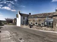
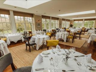
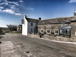
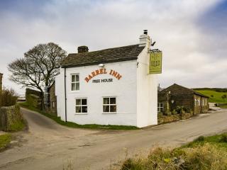
Nearby places to stay
View all (8)


Nearby places to stay
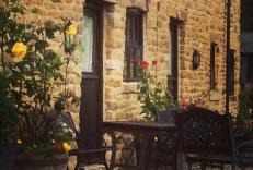
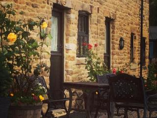
Ye Olde Nags Head
In the village centre, this 17th-century coaching inn has furnished its bedrooms, some with four-posters, all with antiques. Days out in the High Peak, especially for walkers and cyclis...
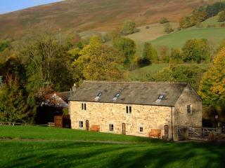
Riding House Farm Cottages
Riding House Farm offers Shepherd's Cottage and Milkmaid's Cottage. This working farm is 140 acres, and guests can see lambs in spring, visit the calf house and feed the hens. There is ...
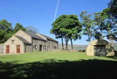
Pindale Farm Outdoor Centre
Set around a 13th-century farmhouse and a former lead mine pump house (now converted to a self-contained bunkhouse accommodating up to 60 people), this simple, off-the-beaten-track site...

The Acorn
Awaiting description...
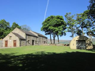
The Barn at Mead Farm
The Barn is set in the heart of the beautiful Peak District countryside and has been lovingly rebuilt in the original stone to reflect its history yet incorporating all modern comforts....
The Oaks
Awaiting description...
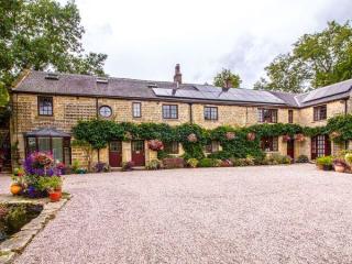
Underleigh House
Comfort, charm and a traditional atmosphere all contribute to a relaxing break in Underleigh House, an award-winning and quintessentially English B&B. In a fantastic Peak District locat...
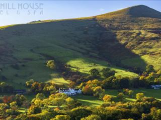
Losehill House Hotel
Situated down a quiet leafy lane, this hotel occupies a secluded spot in the Peak District National Park. Bedrooms are comfortable and beautifully appointed. The outdoor hot tub, with s...
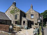
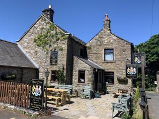
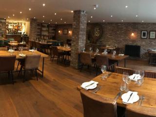
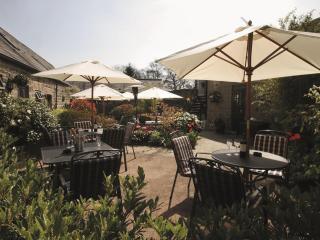
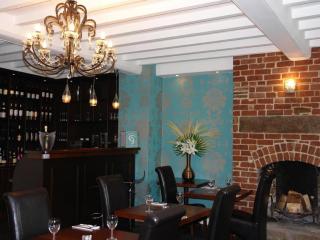
Places to eat nearby View all