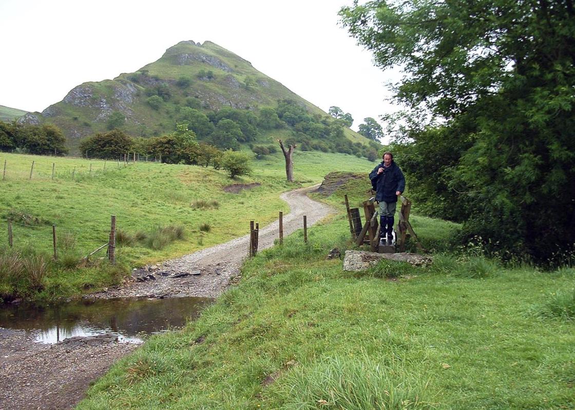
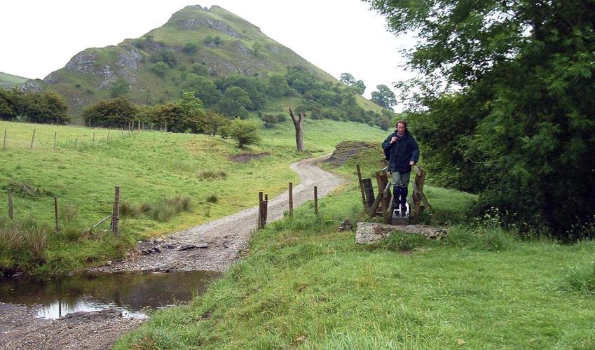
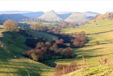
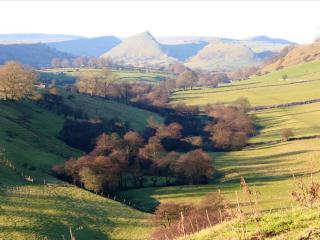
Chrome Hill from Earl Sterndale
Recommended by

"Ride the Dragons Back (the limestone ridge of Chrome Hill) if you dare. Spectacular views await those who do."
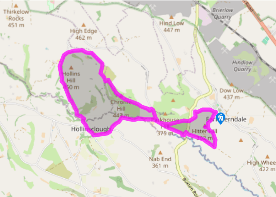
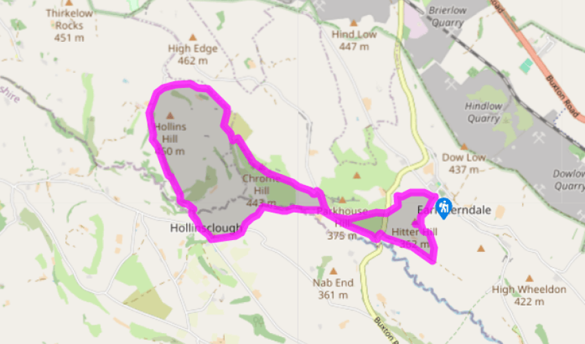
Walk directions
From the green in the centre of the village, skirt to the right of a pub (currently closed), then bend left around it, following footpath waymarkers towards Longnor as the path divides. Go through a gate with a yellow-topped post and rise gently up through fields. Cross a rough stile on to the higher ground of Hitter Hill. The summit is unmarked but in line with the ridge from Parkhouse and Chrome to the north.
The descent to the far corner of access land is very steep, so return to the previous stile then head right along the field edge-top, to a stile in the corner. Continue briefly along the top edge in the next field, then fork right at a waymarker to Longnor. This narrow path descends diagonally across fields on a steep hillside to a tarmac track by a farm.
View all directions
Additional information
Terrain
- Mostly reasonable paths and tracks, but some are rugged, steep ridgeline, can be muddy or slippery after rain.
Landscape
- Gritstone moors and cloughs with limestone hills
Dog friendliness
- Farmland; dogs should be kept under close control
Parking
- On roadside in Earl Sterndale (limited space)
Toilets en route
- None on route
About the walk
At the far end of the Dove Valley stands Axe Edge. This is the Pennine watershed and near to here five rivers – the Goyt, the Dane, the Dove, the Wye and the Manifold – go their separate ways towards the Irish and North Seas. You’re 1,660ft (506m) above sea level on one of the wildest gritstone...
Read more

Been on this walk?
Send us photos or a comment about this route. Or recommend a route of your own.

Walking in Safety
Read our tips to look after yourself and the environment when following this walk.

Get an AA guide
Explore our range of ‘50 Walks in’ guides - they’re the ideal companion for a ramble.
Been on this walk?
Send us photos or a comment about this route. Or recommend a route of your own.
Walking in Safety
Read our tips to look after yourself and the environment when following this walk.
Get an AA guide
Explore our range of ‘50 Walks in’ guides - they’re the ideal companion for a ramble.
About the area
The natural features of this central English county range from the modest heights of the Peak District National Park, where Kinder Scout stands at 2,088 ft (636 m), to the depths of its remarkable underground caverns, floodlit to reveal exquisite Blue John stone. Walkers and cyclists will enjoy the High Peak Trail which extends from the Derwent Valley to the limestone plateau near Buxton, and for many, the spectacular scenery is what draws them to the area.
Nearby places to stay
View all (8)


Nearby places to stay
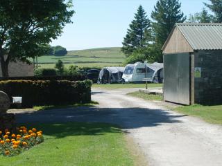
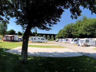
Pomeroy Caravan Park
Pomeroy Caravan Park is a small, family-run dairy farm, with a shop selling its own artisan ice cream and pasteurised milk. Walkers and cyclists will find it easy to reach the High Peak...
Dove Valley Centre
The Dove Valley Centre comes with some impressive green credentials. Materials used on the farm and in the accommodation are all eco-friendly; the heating is geothermal, firewood is fro...
The Shippon
...

The Hayloft
...

Longnor Wood Holiday Park
Longnor Wood is a spacious, adults-only park in a secluded, peaceful setting in the heart of the Peak District National Park. A hidden gem, the park is surrounded by beautiful rolling c...
Foxlow Grange by Muse Escapes
In the spa town of Buxton, Foxlow Grange contains beautifully decorated apartments for a luxurious break. Local attractions include St Ann’s Well for a taste of Buxton water, as well as...
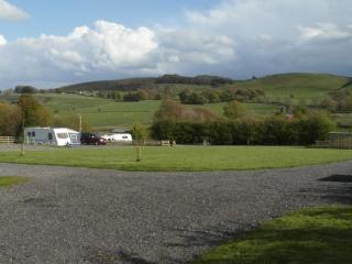
Lime Tree Park
A very attractive and well-designed site set on the side of a narrow valley in an elevated location, featuring separate, neatly landscaped areas for static caravans, tents, touring cara...
Beech Croft Farm Caravan and Camping Park
Beech Croft Farm is a small, family-run site with scenic Peak District views and top-quality facilities. The stone-built toilet block features modern fittings, underfloor heating, and u...
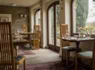
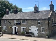
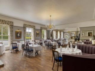
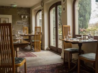
Places to eat nearby View all