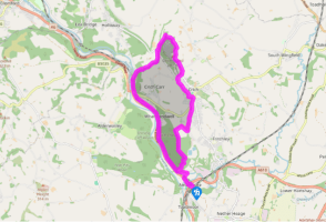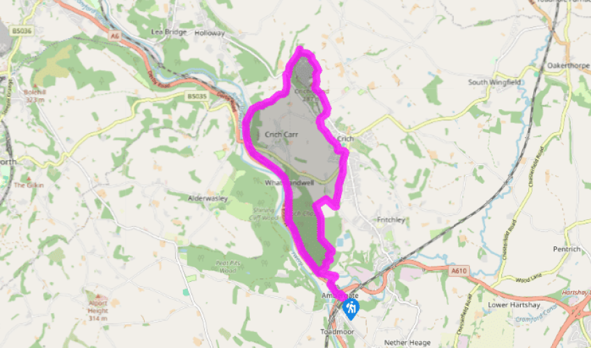
From Ambergate to Crich
Recommended by

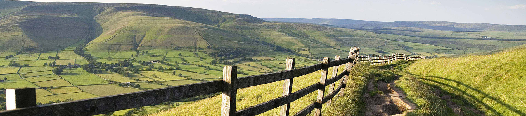
"Climb an ancient beacon hill for a far reaching view over the countryside"
Walk directions
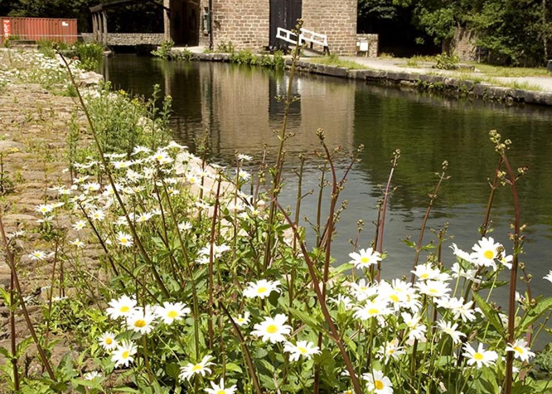
Walk down to the main road from the car park. Go left beneath the bridge and then right along the busy A6. Turn right up Chase Road, and underneath the railway bridge to the Cromford Canal at Poyser’s Bridge. Follow the towpath left to Grattans Bridge.
Bend around left and over the bridge, then almost immediately take a gate on the left by a spring. A waymarked path winds up through the woodland of Crich Chase, steep at first, then almost contouring through occasional small clearings. Join a track, heading left to a field wall corner at the top of the woodland. Continue ahead between the treeline and the field fence. By the end of a crumbling wall, turn right over a stile, then rise up field edges to reach Chadwick Nick Lane.
View all directions
Additional information
Terrain
- Short section of busy road-side pavement at start/end, woodland and field paths and canal towpath, a couple of narrow road sections with no pavement, some stiles
Landscape
- Woods and pastured hills, quarried edges
Dog friendliness
- Keep on lead - and keep out of the canal to protect water voles and other wildlife.
Parking
- Ambergate pay car park by station
Toilets en route
- Near Sherwood Foresters Monument and in Crich
About the walk
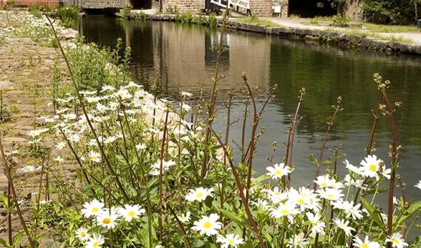
The first five minutes of the walk are somewhat uneventful and everyday but as soon as you turn the corner and cross over Poyser’s Bridge you’re walking in a different world, separate from the road and the railway. The canal, tangled with irises and pondweed, ambles by slowly through the trees....
Read more

Been on this walk?
Send us photos or a comment about this route. Or recommend a route of your own.

Walking in Safety
Read our tips to look after yourself and the environment when following this walk.

Get an AA guide
Explore our range of ‘50 Walks in’ guides - they’re the ideal companion for a ramble.
Been on this walk?
Send us photos or a comment about this route. Or recommend a route of your own.
Walking in Safety
Read our tips to look after yourself and the environment when following this walk.
Get an AA guide
Explore our range of ‘50 Walks in’ guides - they’re the ideal companion for a ramble.
About the area
The natural features of this central English county range from the modest heights of the Peak District National Park, where Kinder Scout stands at 2,088 ft (636 m), to the depths of its remarkable underground caverns, floodlit to reveal exquisite Blue John stone. Walkers and cyclists will enjoy the High Peak Trail which extends from the Derwent Valley to the limestone plateau near Buxton, and for many, the spectacular scenery is what draws them to the area.
Nearby places to stay
View all (8)


Nearby places to stay
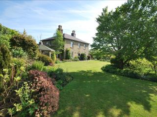
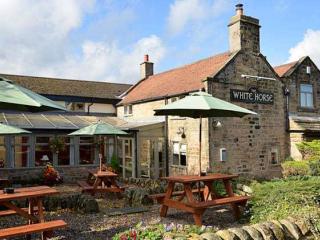
Dannah Farm Country House
Part of the Chatsworth Estates at Shottle, Dannah Farm Country House is an impressive Georgian house in an elevated position with stunning views. A number of outbuildings have been reno...
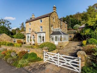
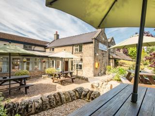
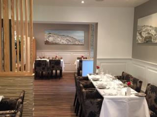
Holloway House
Set on the edge of the village, Holloway House is a 19th-century, pre-Victorian delight. The place has a great atmosphere and a real sense of period elegance. The dining room is particu...
Holloway House
Set on the edge of the village, Holloway House is a 19th-century, pre-Victorian delight. The place has a great atmosphere and a real sense of period elegance. The dining room is particu...
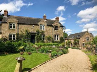
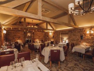
The Old Granary Barn, Matlock
The Old Granary Barn is an award-winning holiday cottage on the edge of the Peak District National Park. It provides the perfect escape, and can be let for a short break mid-week or at ...
The Old Granary, Matlock
The Old Granary, Matlock is an award-winning holiday cottage on the edge of the Peak District National Park. The luxury cottage is ideally situated for four guests nestled deep in the r...
Dell Farm Holiday Cottages
Awaiting description....
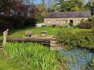
Raine Cottage
Nestled in the heart of the Derbyshire countryside and converted from a 17th century byre, this charming two-bedroom holiday cottage a quarter of a mile from the village of Wessington o...
Golden Valley Caravan & Camping Park
This superbly landscaped park is set within 30 acres of woodland in the Amber Valley. The fully serviced pitches are set out in informal groups in clearings amongst the trees. The park ...
Places to eat nearby View all