Additional information
Terrain
- Hard tracks, moorland and woodland paths, sometimes muddy
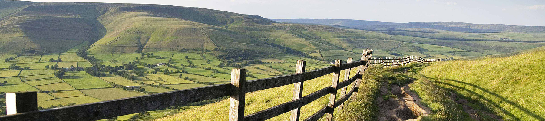
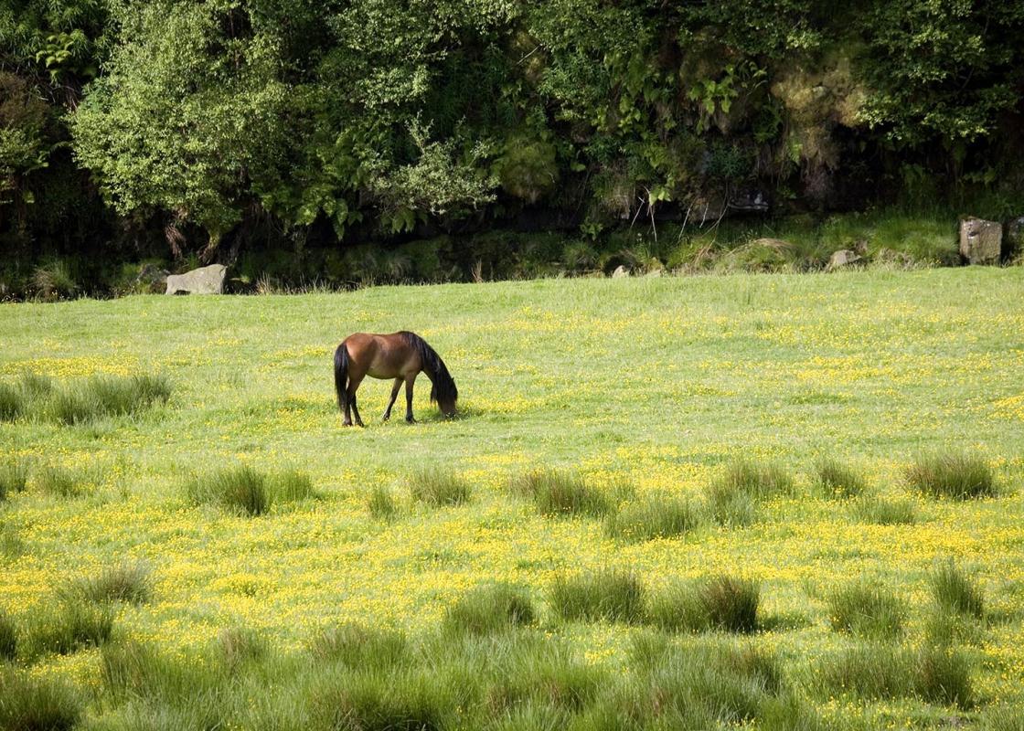
Landscape
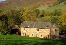
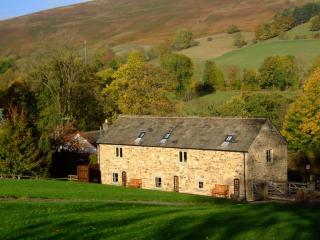
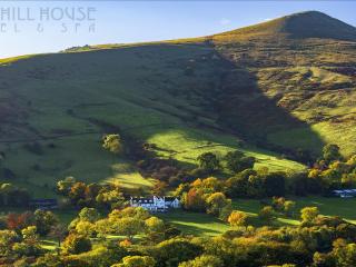
- Flooded valley surrounded by woodland and open moors
Dog friendliness
- May by off lead on enclosed tracks and in woodland, but on lead around sheep on moors
Parking
- Heatherdene pay car park
Toilets en route
- At car park
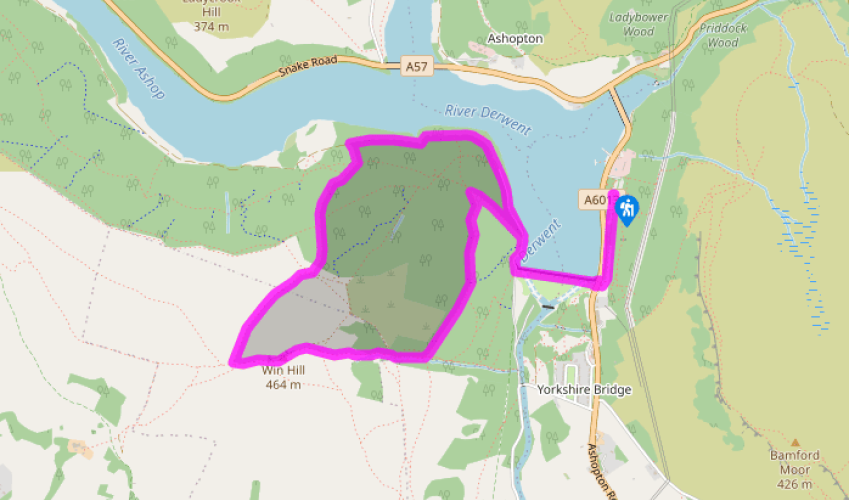
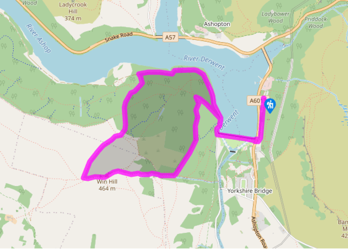
About the walk
It’s an irony of the Peak District that few of its hills have any real angled peaks, like the mountains of the Lake District. It’s thought that the name comes from the Old English peac, meaning hill, although a 7th-century document also refers to the Pecsaetan tribe or ‘settlers of the Peak’.... Whatever the origin of the name, there are a few tops that try and live up to our modern understanding of the term – and Win Hill is certainly one of them. It might be only a pointed pimple at the end of a moorland ridge, but the coned summit gives it that elevation that catches the eye from below – and offers 360-degree views once you’ve puffed your way up to the top. The summit itself is known as Win Hill Pike and although it looks a little precipitous from below, in fact it’s very easy to negotiate, since it forms a short, flat ridge with plenty of good rocky slabs from where you can sit and admire the spectacular views. Ladybower Reservoir There’s a sedate beginning to the walk on the shores of Ladybower Reservoir, constructed between 1935 and 1943 to provide drinking water for Sheffield and the cities of the East Midlands. By the memorial stone erected by the Derwent Valley Water Board to commemorate its opening by King George VI in 1945, you cross the massive dam. When the reservoir is full, it holds back 6.1 billion gallons (27,800 megalitres) of water. Interpretation boards explain some of the peculiar features of this impressive construction, including draw-off towers and bellmouth spillway shafts. There’s also information on the work undertaken in 1998 and 1999 to refurbish Ladybower Dam, which involved quarrying stone from the forested hillside below Win Hill. You can still see the area, since relandscaped and replanted, where the rock was extracted. The far side of the dam is also the northern terminus of the Thornhill Trail, a 1.5-mile (2.4km) bridleway route, which runs along the former Bamford and Howden railway to link the reservoir with the Hope Valley. It was built in 1901 to carry stone for the construction of the new dams and is an excellent traffic-free link to the railway station and other facilities at Bamford. Rocky ridge Soon you enter the wooded hillside, heading upwards for the open moors and the rocky summit ridge of Win Hill. From the 1,515ft (462m) top the views encompass the broad Dark Peak sweep of Kinder Scout, Bleaklow and the Derwent Moors, with the valleys of woodland and water reaching deep into the upland massif. Over the moors to the east lies Sheffield, while immediately to the southeast are the communities of Bamford and Hathersage, with the Derwent Valley extending into the distance. West lies the Hope Valley, with Castleton and Mam Tor prominent at its head, while no less mistakable is the tall chimney of the Hope cement works.
Read more
Derbyshire
The natural features of this central English county range from the modest heights of the Peak District National Park, where Kinder Scout stands at 2,088 ft (636 m), to the depths of its remarkable underground caverns, floodlit to reveal exquisite Blue John stone. Walkers and cyclists will enjoy the High Peak Trail which extends from the Derwent Valley to the limestone plateau near Buxton, and for many, the spectacular scenery is what draws them to the area.