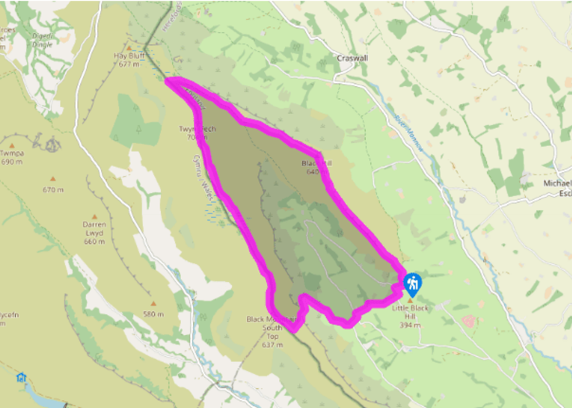
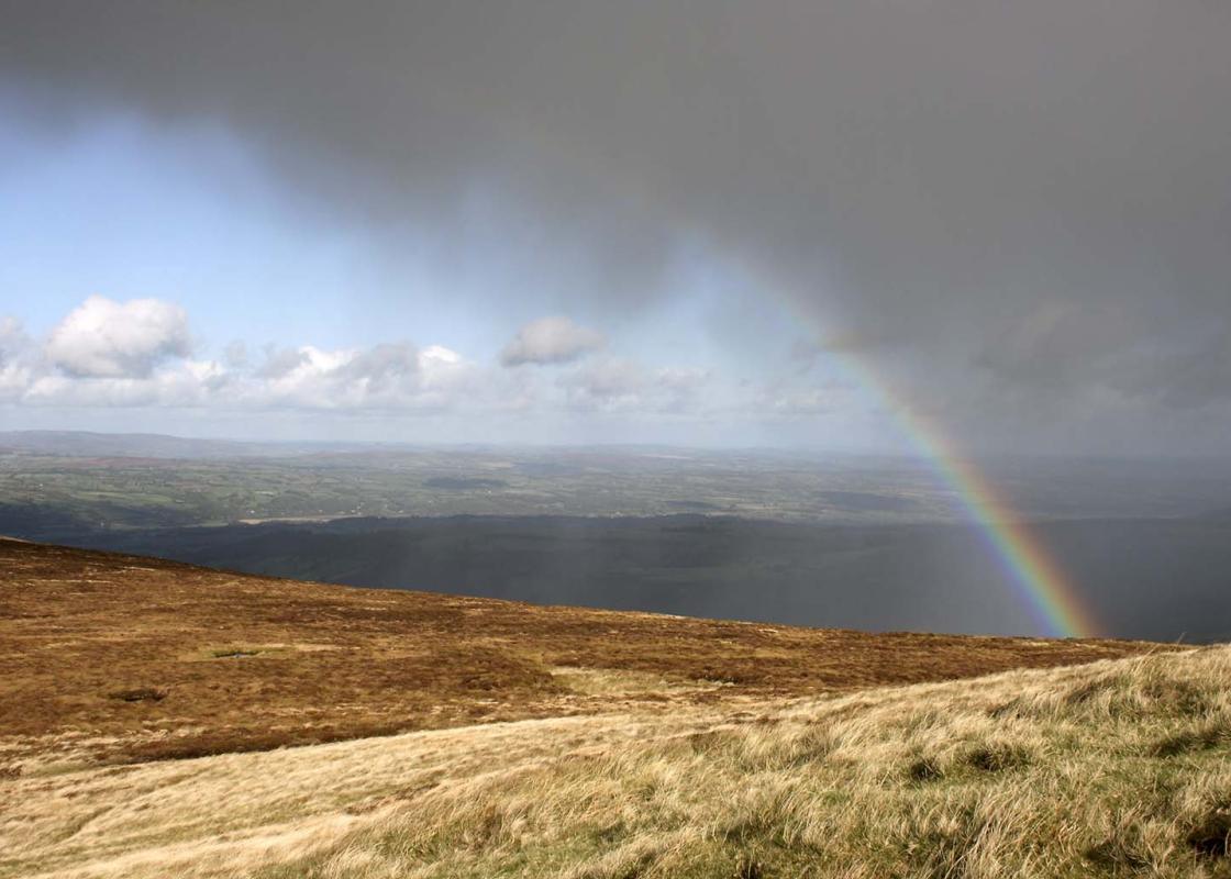
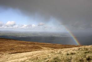
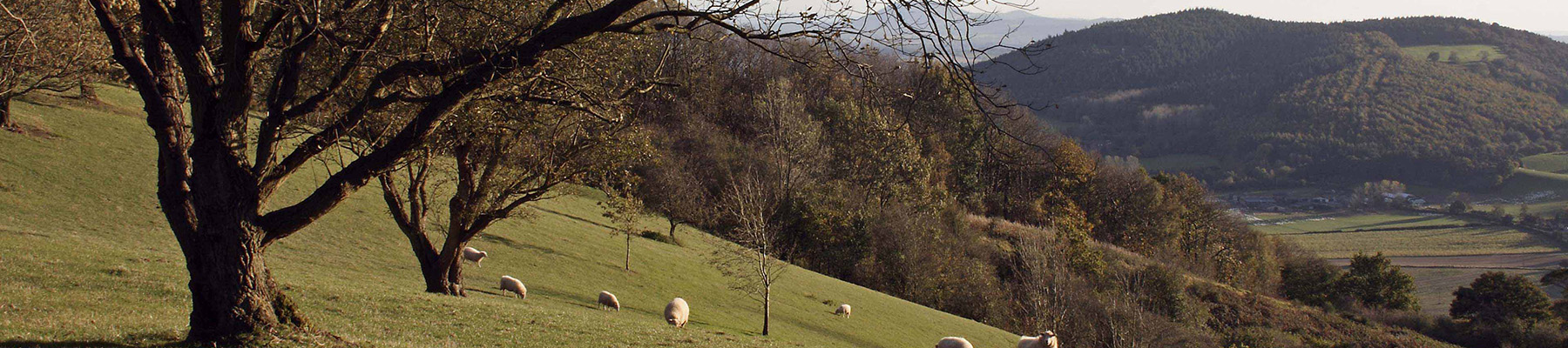
On the Black Hill
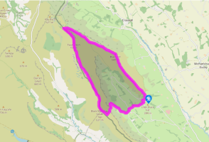
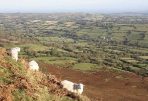
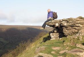
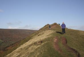
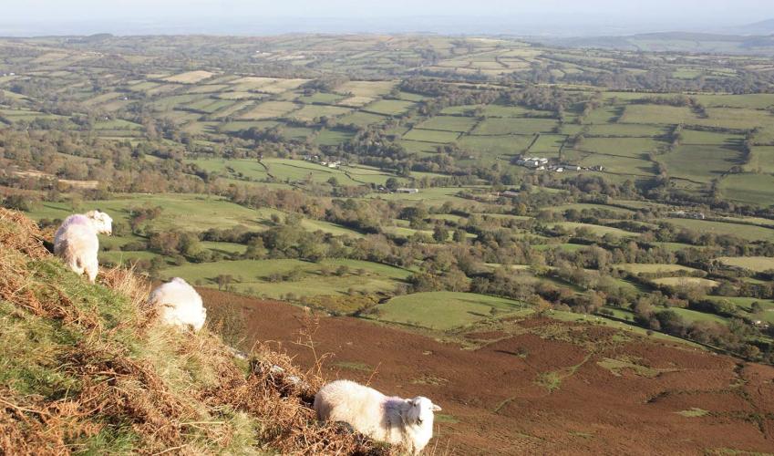
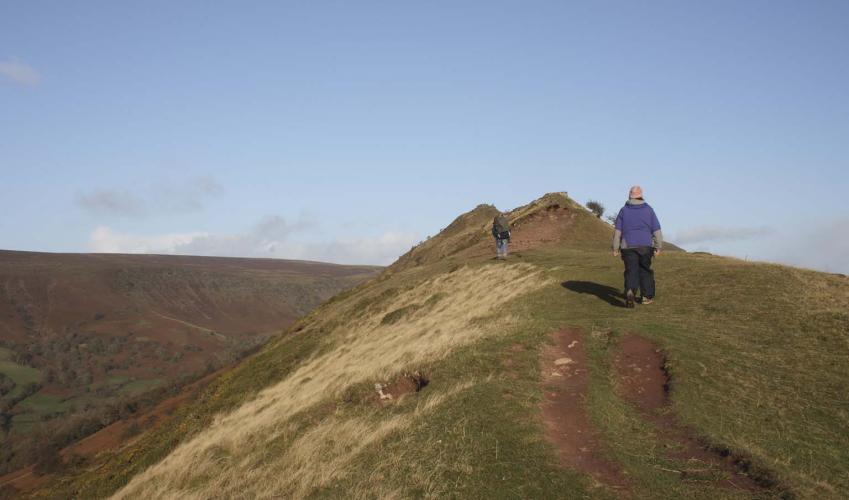
Over a stile behind the car park, follow a steep path up the spine of the hill. The ridge shortly narrows and in strong wind or poor weather, may be intimidating. But, the way soon broadens to continue as a fine, airy walk, which offers superlative views on either hand.
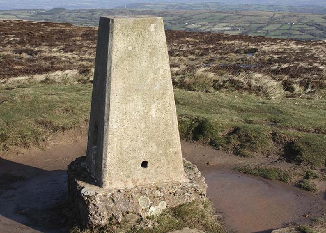
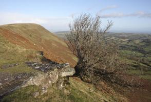
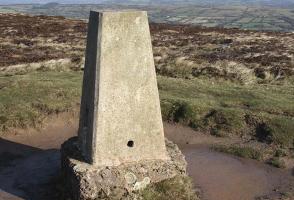
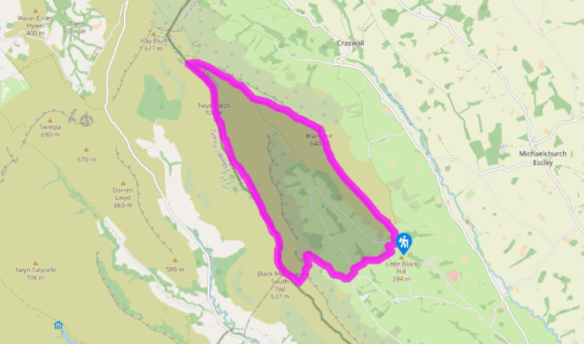
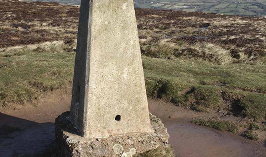
Fork left at the trig column, passing a shallow tarn on your right. The clear path gently rises across the moor for 1.5 miles (2.4km), eventually meeting a crossing of paths by an Offa’s Dyke stone marker.
To the left, the way initially climbs over an un-named top, but which, at over 2,300ft (700m), is the highest point of the walk. The trail runs on, intermittently slabbed along the broad ridge, which here marks the boundary between England and Wales. After nearly 3 miles (4.8km), and almost level with the car park across the valley, look out for a cairn and another Offa’s Dyke waystone marking a crossing of routes.
Take the grass path off left, which soon curves left down the steepening slope. Lower down, after 700yds (640m), the way swings sharply right.
Soon, a waymark indicates a junction from which a path drops to the lane. However, carry on ahead through bracken, ignoring a later intersecting path. Eventually cross a brook and enter a grove of alder to reach a fence. Turn right in front of it, crossing a stream to reach a kissing gate. Through that walk on within the fringe of trees, passing an opening and a stile before reaching another kissing gate. Negotiate a fallen tree just beyond and follow the line of an old hollow way. Disregard a later stile on the left, but then shortly cross a stile. Stay with the groove, passing through a kissing gate at the end to meet a lane.
Walk downhill to a junction and go left. Approaching a small bridge, leave over a stile on the right and head downfield beside the stream. Cross the stream lower down and bear right to a footbridge spanning Olchon Brook. Climb away to Blackhill Farm. Over a stile, walk up beside the buildings to find a waymarked handgate in the top-right corner. Head up a wooded gully to a stile and bear left, soon emerging onto a lane. Turn left along the lane and first right to return to the car park.
Been on this walk?
Send us photos or a comment about this route. Or recommend a route of your own.
Walking in Safety
Read our tips to look after yourself and the environment when following this walk.
Get an AA guide
Explore our range of ‘50 Walks in’ guides - they’re the ideal companion for a ramble.
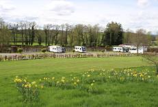
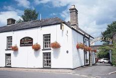
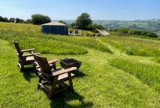
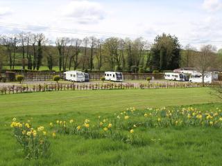
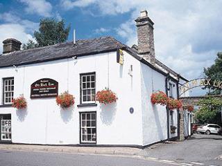
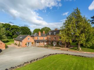
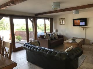
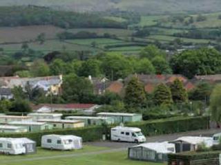
Nearby places to stay
View all (8)
- Launderette
- Ice pack facility
- Cafe/Restaurant
- Shop onsite
- Rooms 10
- Free TV
- Direct Dial
- Wifi


