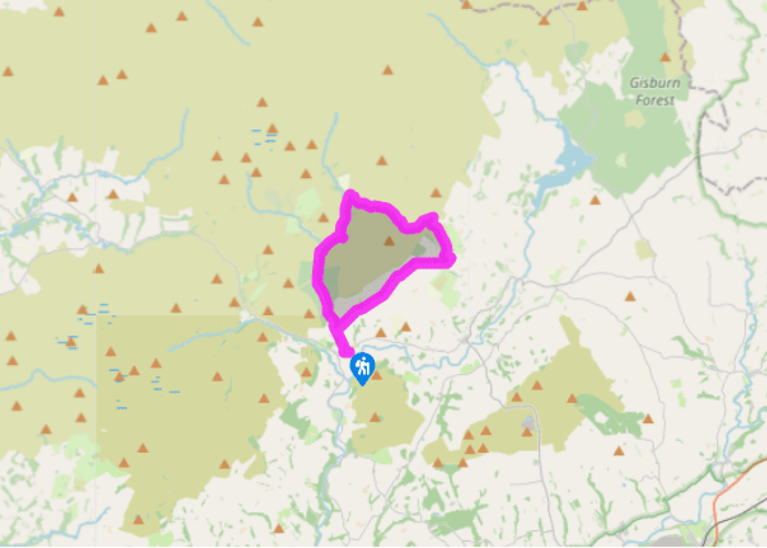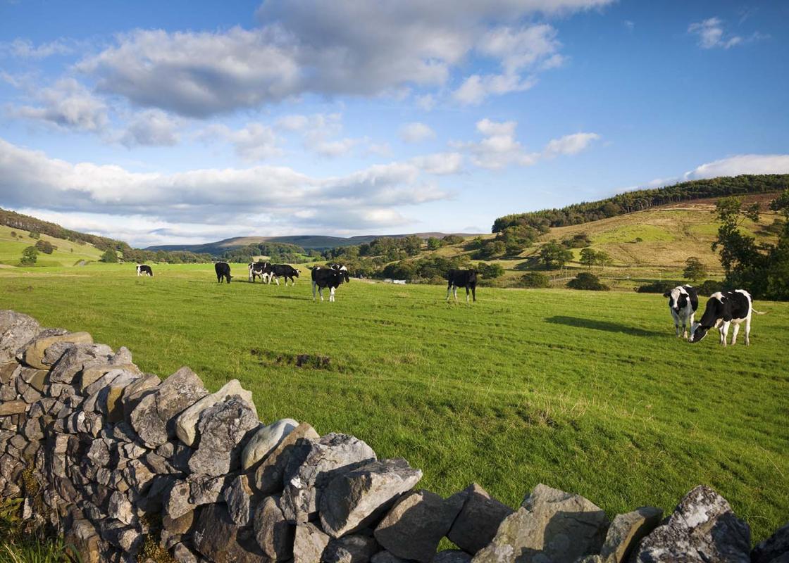

Moors at the centre
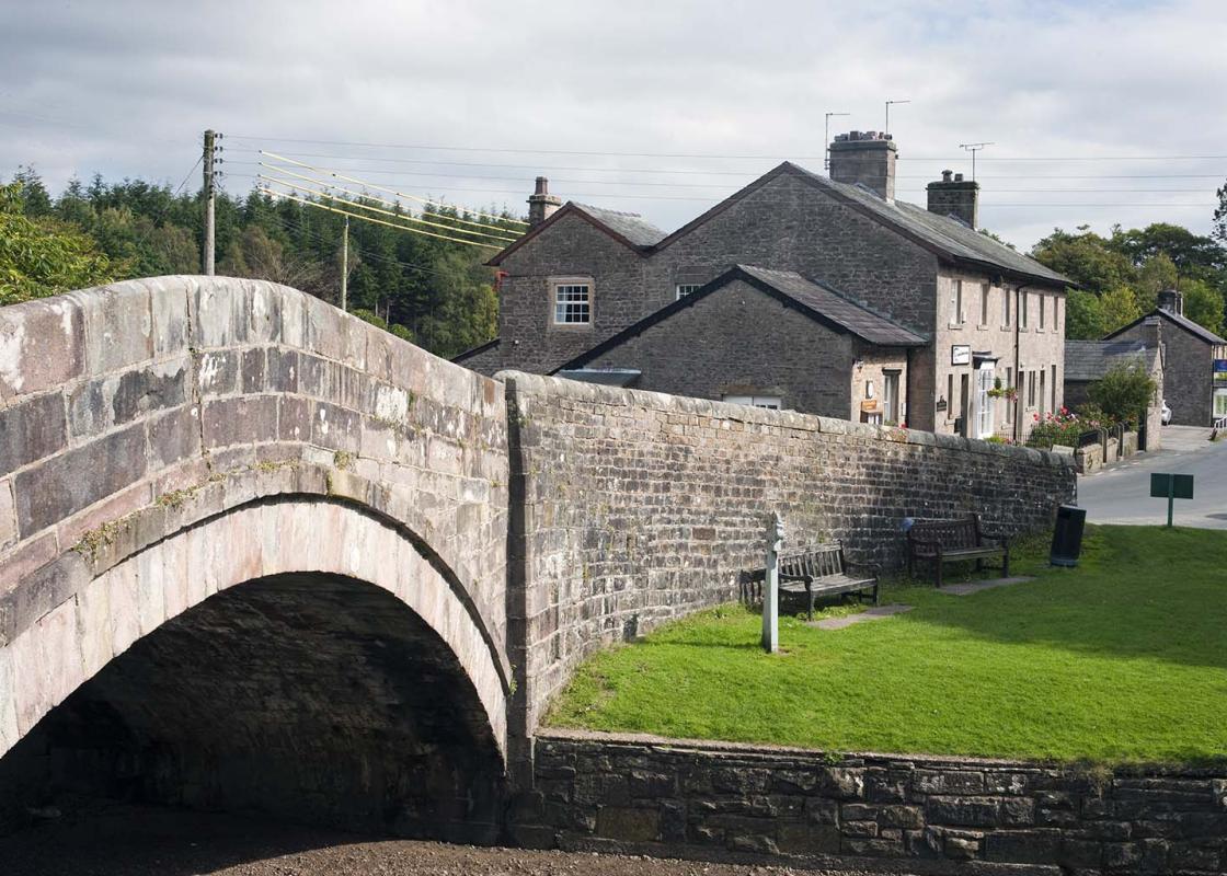
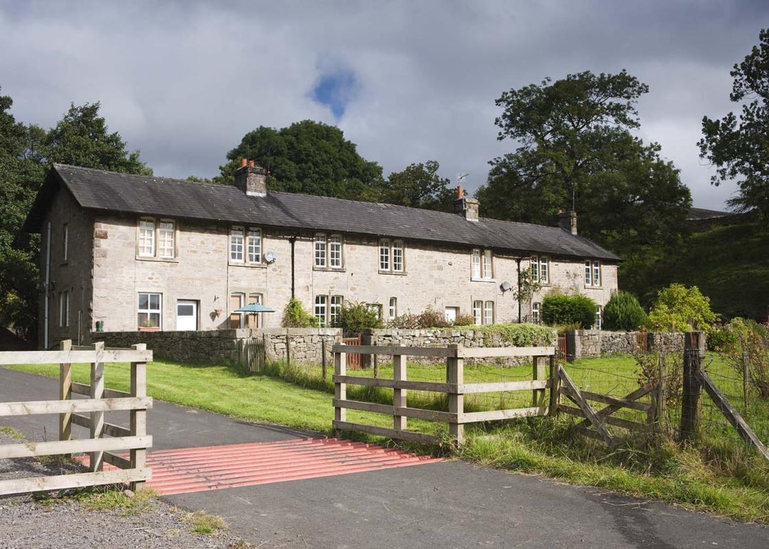
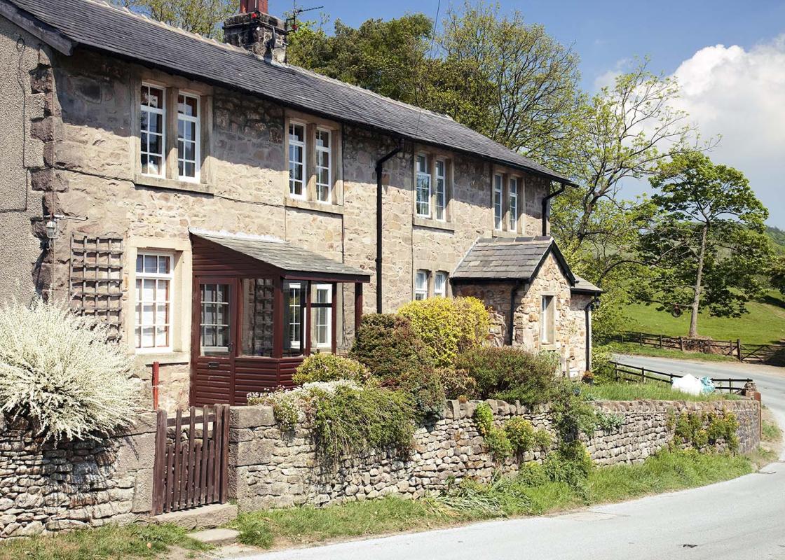
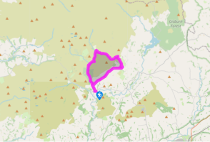
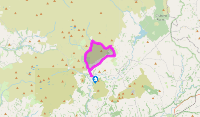
From the car park, go right, turning right again beside Puddleducks along a surfaced track. At the end, by some cottages, continue over a stile beside the river. After 70yds (64m), leave through a kissing gate from which a stepped path climbs a wooded bank to a stile.
Gradually diverging from the right fence, head across fields to meet a tarmac track near Beatrix. Go left. Some 70yds (64m) beyond a cattle grid, leave on a bend through the second of two gates on the left. Climb away by the left fence across moorland grazing, later falling to a gate. Drop through trees into Oxenhurst Clough and rise steeply from the stream through larch. Beyond the trees, carry on through a couple of gates and continue by the right fence of a final field to a track.

Been on this walk?
Send us photos or a comment about this route. Or recommend a route of your own.

Walking in Safety
Read our tips to look after yourself and the environment when following this walk.

Get an AA guide
Explore our range of ‘50 Walks in’ guides - they’re the ideal companion for a ramble.
Been on this walk?
Send us photos or a comment about this route. Or recommend a route of your own.
Walking in Safety
Read our tips to look after yourself and the environment when following this walk.
Get an AA guide
Explore our range of ‘50 Walks in’ guides - they’re the ideal companion for a ramble.
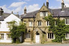
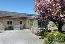
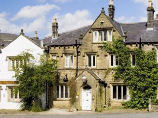
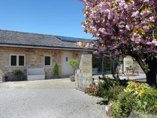
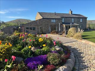
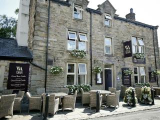
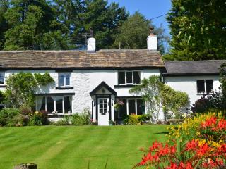
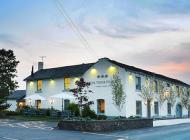
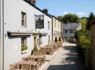
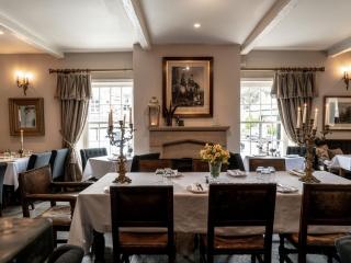
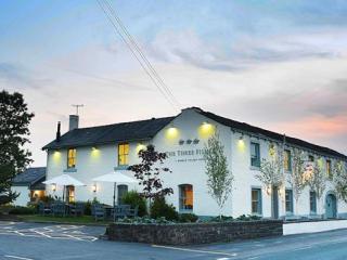
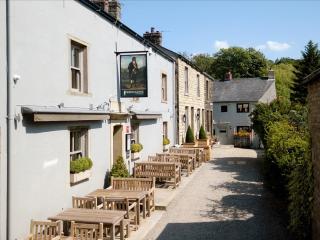
Nearby places to stay
View all (8)