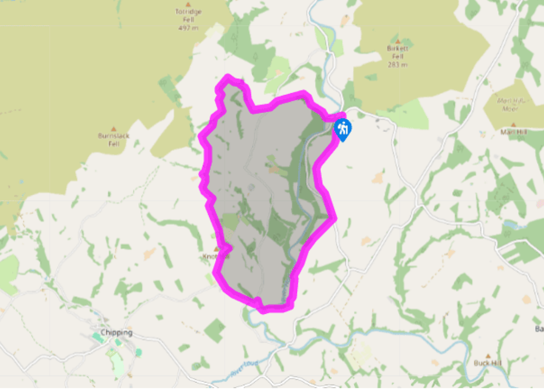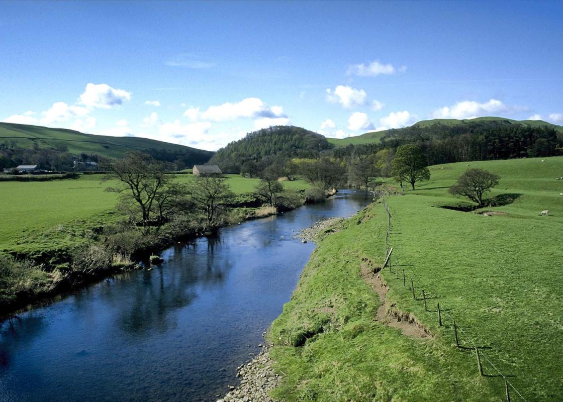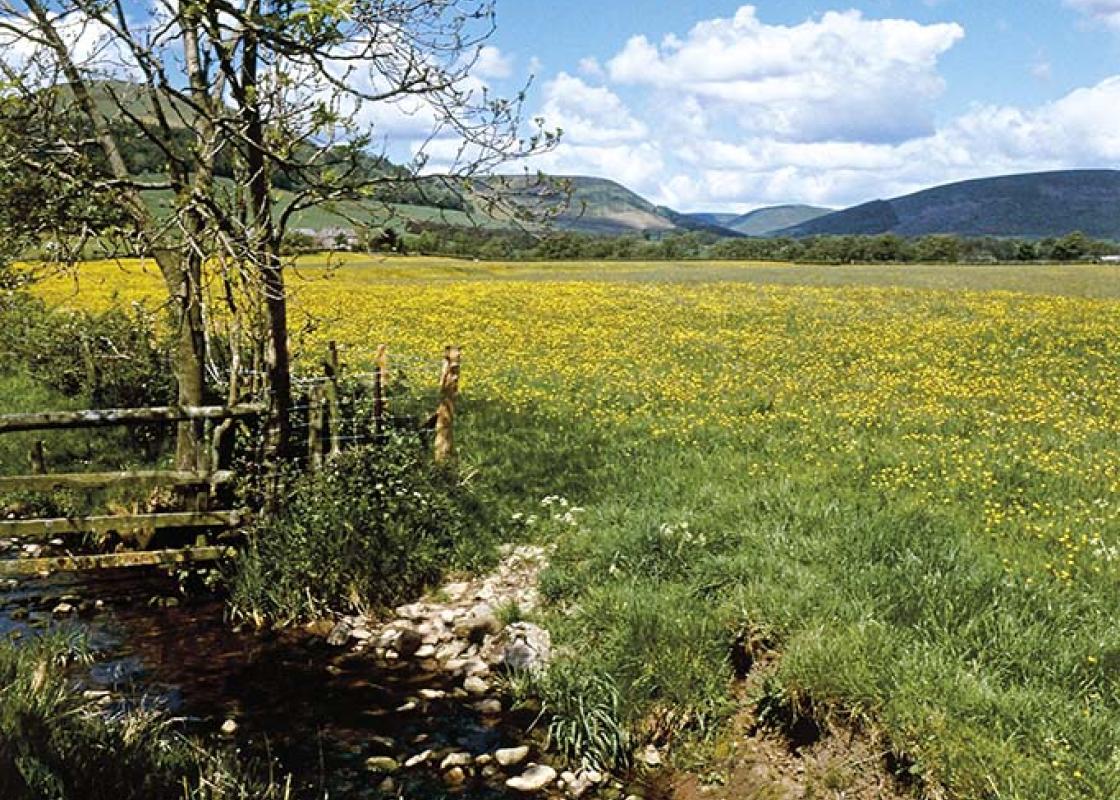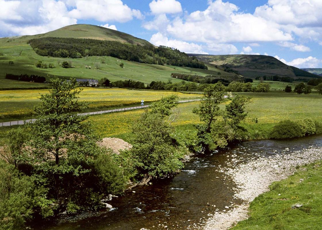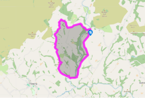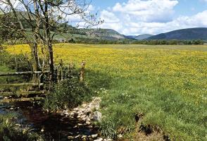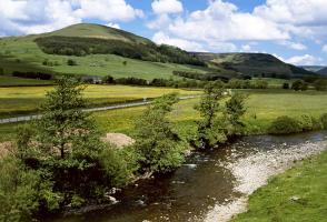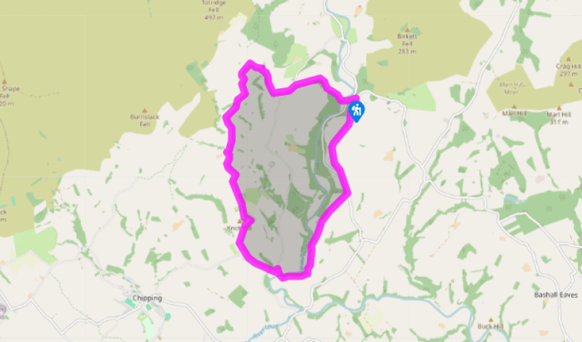
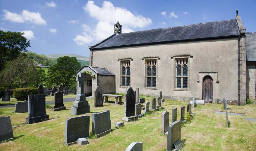
Round the Hodder Valley
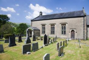
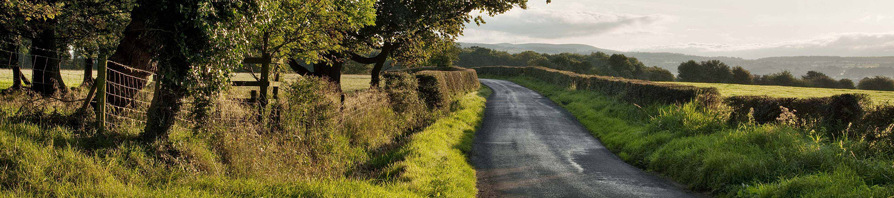
Descend past the church to the river and go left to the stepping stones. Climb beside a wood to New Laund, continuing through the farmyard. Towards the far end, leave left by an old cheese press on a track to Tunstall Ing. Keep the line across a couple of fields, leaving through a gate onto a lane.
Go briefly left to a stile on the right. Strike out half left to a track. Walk right past Tunstall Ing, curving over a hill. Keep left at a fork to Higher Fence Wood Farm.

Been on this walk?
Send us photos or a comment about this route. Or recommend a route of your own.

Walking in Safety
Read our tips to look after yourself and the environment when following this walk.

Get an AA guide
Explore our range of ‘50 Walks in’ guides - they’re the ideal companion for a ramble.
Been on this walk?
Send us photos or a comment about this route. Or recommend a route of your own.
Walking in Safety
Read our tips to look after yourself and the environment when following this walk.
Get an AA guide
Explore our range of ‘50 Walks in’ guides - they’re the ideal companion for a ramble.
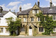
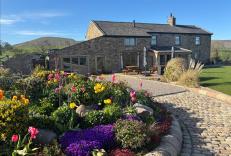
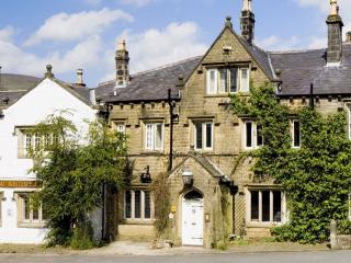
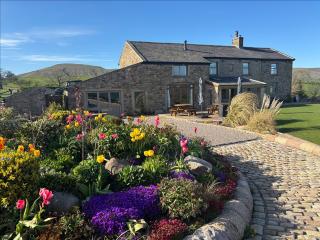
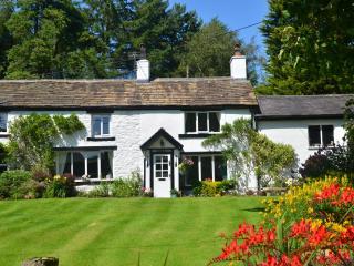
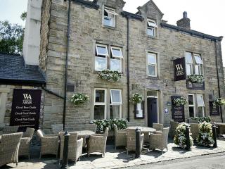
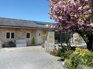
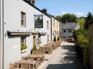
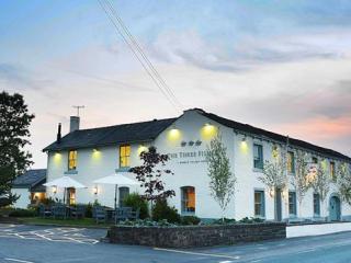
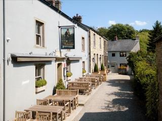
Nearby places to stay
View all (8)