Bordley and Mastiles Lane
Recommended by

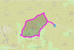
Walk directions
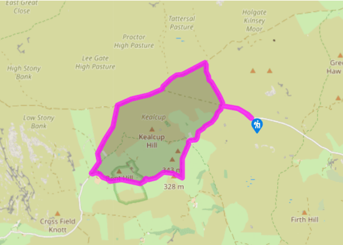
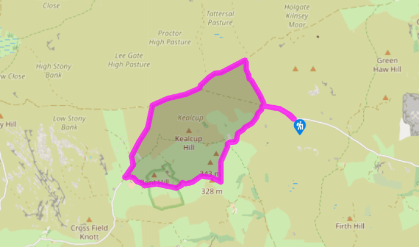
From the parking place go through the gate and follow the metalled lane downhill to a crossroad of tracks. Turn right here, onto the track signposted 'Kilnsey'. Follow the track parallel with the dry-stone wall on your right to reach a crossing track at another signpost. This is Mastiles Gate.
Turn left along the lane signed 'Street Gate'. Follow the lane for 1 mile (1.6km), first climbing gently and then descending between walls into a shallow valley. Go through a gate and continue for about 100yds (91m) to a gate on the left from which a rough track heads down to ford a stream. Follow the rough track across the stream, over a slight rise and across rough pasture.
View all directions
Additional information
Terrain
- Tracks and field paths, 2 stiles
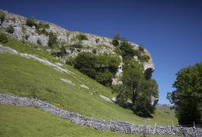
Landscape
- Moorland and farmland
Dog friendliness
- On leads – sheep on moorland and livestock in fields
Parking
- Roadside parking on Malham Moor Lane,
where lane reaches open moor
Toilets en route
- None on route
About the walk
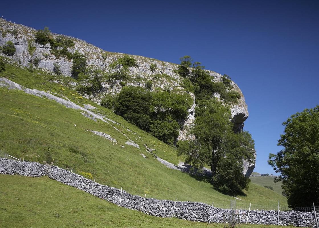
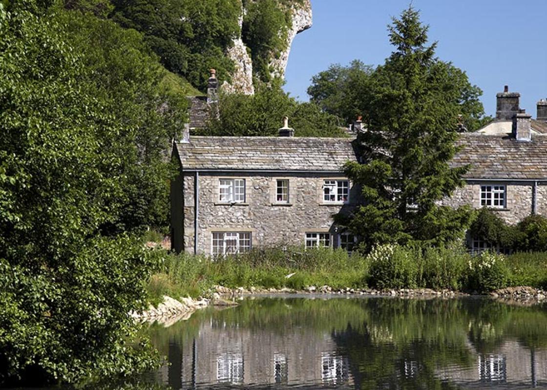
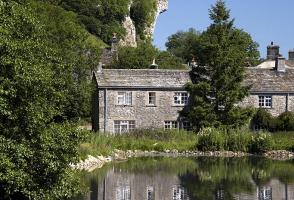
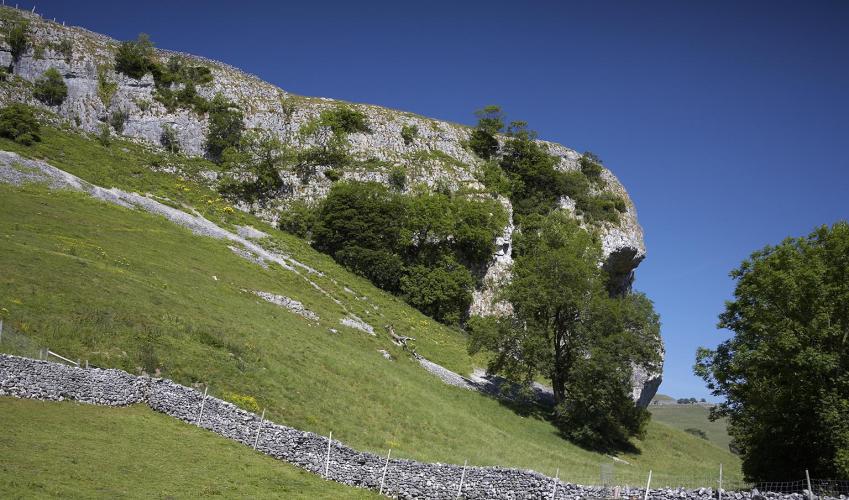
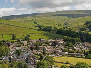
Many places in the Yorkshire Dales can be described as 'remote' – and Bordley must be one of the least accessible. No metalled roads lead to it, and the settlement (really only a hamlet of a couple of farmhouses) is almost invisible from most of the surrounding countryside, lying as it does in a...
Read more

Been on this walk?
Send us photos or a comment about this route. Or recommend a route of your own.

Walking in Safety
Read our tips to look after yourself and the environment when following this walk.

Get an AA guide
Explore our range of ‘50 Walks in’ guides - they’re the ideal companion for a ramble.
Been on this walk?
Send us photos or a comment about this route. Or recommend a route of your own.
Walking in Safety
Read our tips to look after yourself and the environment when following this walk.
Get an AA guide
Explore our range of ‘50 Walks in’ guides - they’re the ideal companion for a ramble.
About the area
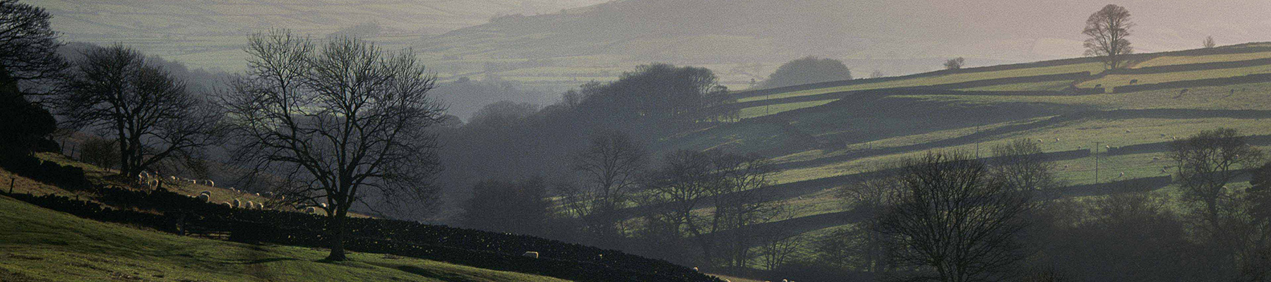
North Yorkshire, with its two National Parks and two designated Areas of Outstanding Natural Beauty, is England’s largest county and one of the most rural. This is prime walking country, from the heather-clad heights of the North York Moors to the limestone country that is so typical of the Yorkshire Dales – a place of contrasts and discoveries, of history and legend.
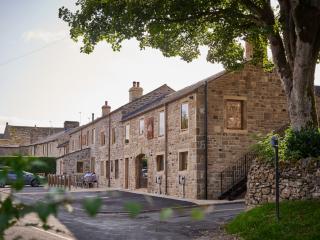
Nearby places to stay
View all (8)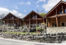


Nearby places to stay
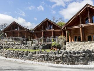
Long Ashes Holiday Park
Designed as a permanent place to live, or for just a weekend getaway, Long Ashes Holiday Park is surrounded by rugged scenery, wonderful walks, quaint villages and near-limitless views,...
Sunnyside Cottage
An absolute Gem in Grassington. Beautiful Barn Conversion in the heart of Grassington Village.
Recently refurbished to a high standard with all the comforts. 3 Bedrooms, bathroom with b...
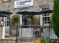
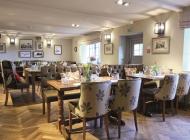
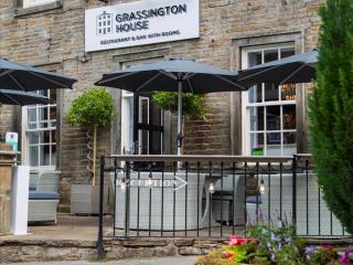
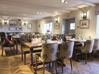
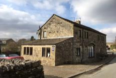
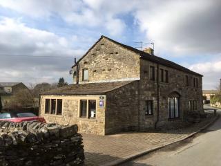
Grassington House
Located in the square of the popular village of Grassington, Grassington House is beautifully converted Georgian building, personally run by owners John and Sue. Delicious food, indivi...
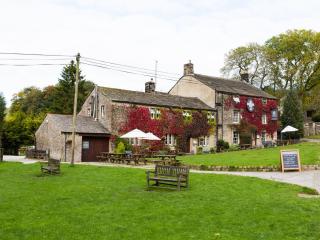
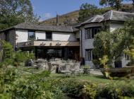
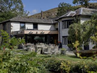
The Lister Arms
Located in Malham in the Yorkshire Dales National Park, The Lister Arms is a traditional country inn with wood beams and open fires. It is close to the village green and a babbling stre...
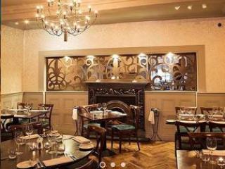
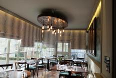
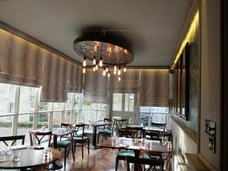
Beck Hall
This delightful streamside establishment has many charming and memorable features. The smart restaurant is spacious and overlooks the water, and there are also tables outside for warmer...
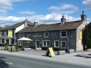
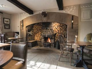
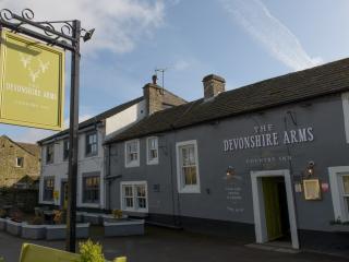
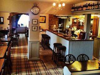
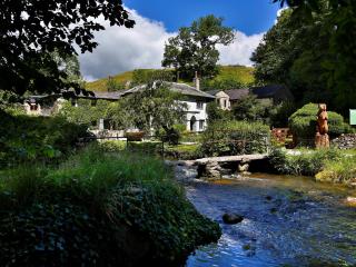
Devonshire Arms Country Inn
Devonshire Arms Country Inn is a family-run 16th-century property located in the heart of the Yorkshire Dales National Park, between Grassington and Skipton. It offers six comfortable b...
The Angel at Hetton
At its heart, a roadside inn, easily recognised by generations of diners - parts of the building go back more than 500 years. Now, completely transformed to a modern and contemporary st...
Kettlewell Camping
Created from former farm fields, this rural camping site has stunning countryside views and is enclosed by well-maintained stone walls. It has the benefit of being just a few minutes’ w...
Places to eat nearby View all