Discovering Hawes and Hardraw
Recommended by

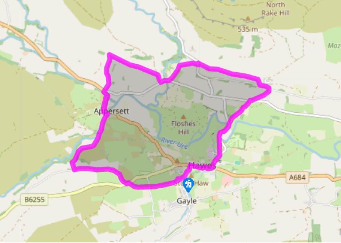
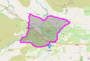
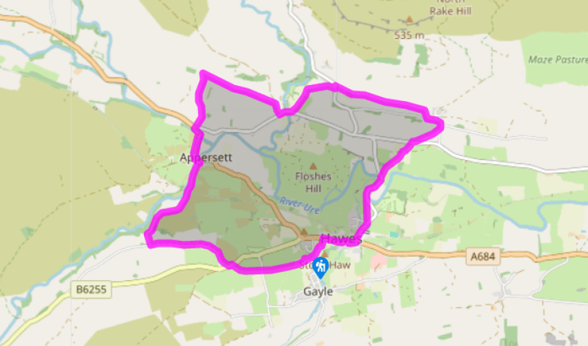
Walk directions
From the car park turn left. Just before the Creamery turn right between houses. Follow the left side of the field to a stile at the top. Keep straight on past a barn and across a lane. After passing a ruined barn, bear right to the B6255. Turn left, then right through a gate signed 'Thorney Mire House'. Follow the path, which bears left between parallel walls, for 0.5 miles (800m) to meet a lane. Turn right and follow this to the A684 at Appersett.
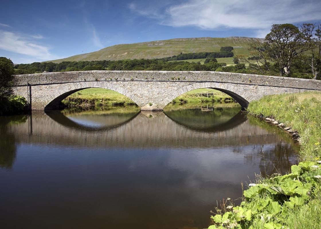
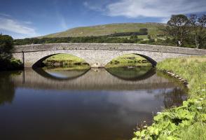
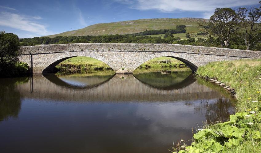
Turn left over the bridge. Continue over another bridge to a junction, turn right and go straight over a stile, signed 'Bluebell Hill'. Bear slightly right to a gate and over a bridge, then bear left uphill to reach a gate. Continue past waymarkers to a signpost.
View all directions
Additional information
Terrain
- Field and moorland paths, may be muddy, 35 stiles
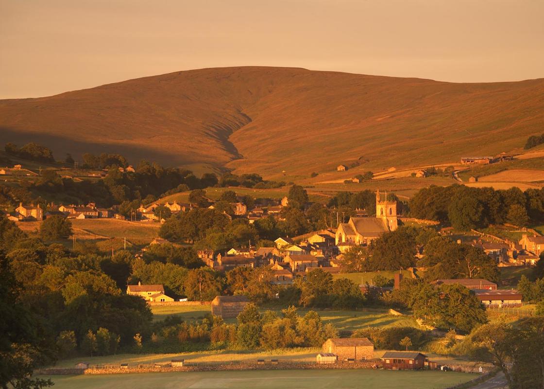
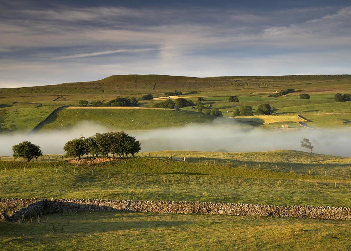
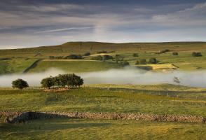
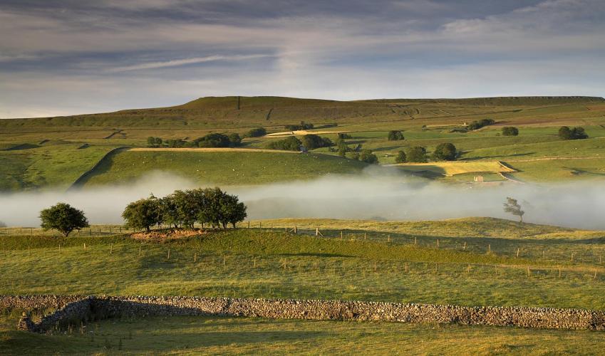
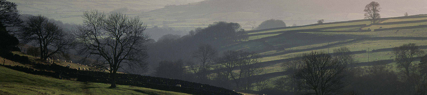
Landscape
- Moorland and farmland
Dog friendliness
- Dogs under close control throughout; lots of stiles
Parking
- Pay-and-display car park off Gayle Lane at west side of Hawes
Toilets en route
- On main street, just below car park
About the walk
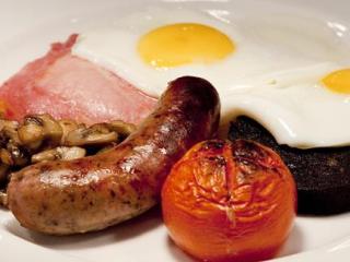
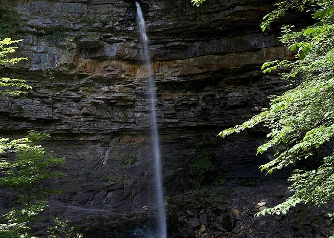
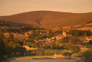
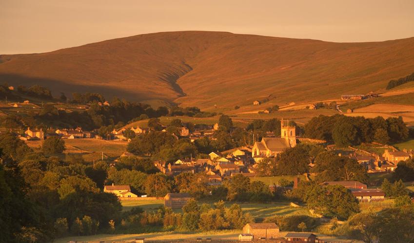
For many people, Hawes means two things – Wensleydale cheese and motorcyclists. The bikers use the town as a base at summer weekends and bank holidays, enjoying a friendly drink in the pubs and spectacular rides on the surrounding roads. However, it is the Wensleydale Creamery that attracts other...
Read more

Been on this walk?
Send us photos or a comment about this route. Or recommend a route of your own.

Walking in Safety
Read our tips to look after yourself and the environment when following this walk.

Get an AA guide
Explore our range of ‘50 Walks in’ guides - they’re the ideal companion for a ramble.
Been on this walk?
Send us photos or a comment about this route. Or recommend a route of your own.
Walking in Safety
Read our tips to look after yourself and the environment when following this walk.
Get an AA guide
Explore our range of ‘50 Walks in’ guides - they’re the ideal companion for a ramble.
About the area
North Yorkshire, with its two National Parks and two designated Areas of Outstanding Natural Beauty, is England’s largest county and one of the most rural. This is prime walking country, from the heather-clad heights of the North York Moors to the limestone country that is so typical of the Yorkshire Dales – a place of contrasts and discoveries, of history and legend.
Nearby places to stay
View all (8)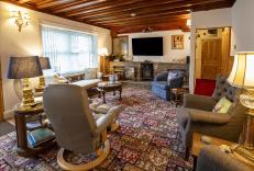


Nearby places to stay
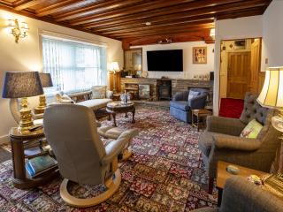
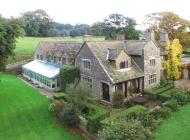
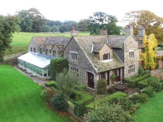
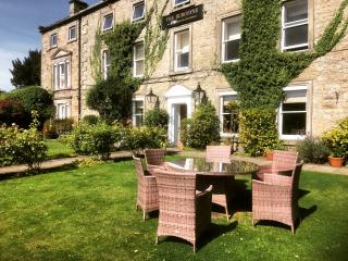
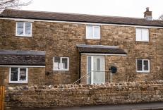
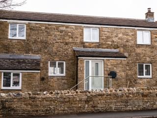
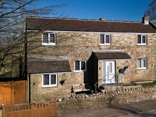
Steppe Haugh
Awaiting description....
Steppe Haugh
Steppe Haugh is a luxurious, four‑bedroom Georgian farmhouse on the edge of the historic market town of Hawes in the beautiful Yorkshire Dales, offering en suite accommodation for up to...
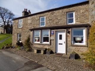
Watersdale End
Watersdale End is a charming country cottage located in the peaceful Yorkshire village of Gayle, right by the river and near the famous Wensleydale Creamery. The house was renovated in ...
Watersdale End
Awaiting description....

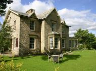
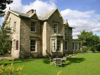
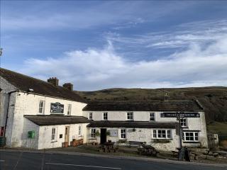
Stone House Hotel
The Stone House Hotel is a beautiful Edwardian country house deep in the heart of Wensleydale. With well-appointed bedrooms, award-winning menus and a dream location, this is the perfec...
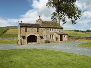
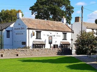
Shepherds Cottage
Shepherd's Cottage is a delightful, Grade II listed, 17th-century stone building that stands on its own in a small field surrounded by open countryside. It's situated between Hardraw an...
Green View Cottage
Overlooking the village green in the heart of the Yorkshire Dales, Green View Cottage is ideally situated between the popular market towns of Leyburn and Hawes. Aysgarth Falls, The Hidd...
Green View Cottage
Overlooking the village green in the heart of the Yorkshire Dales, Green View Cottage is ideally situated between the popular market towns of Leyburn and Hawes. Aysgarth Falls, The Hidd...
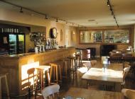
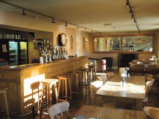
Places to eat nearby View all