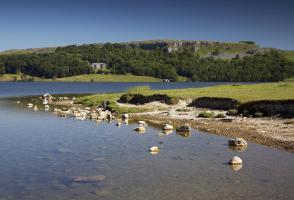
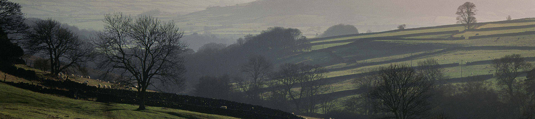
Malham Tarn and Malham
Recommended by

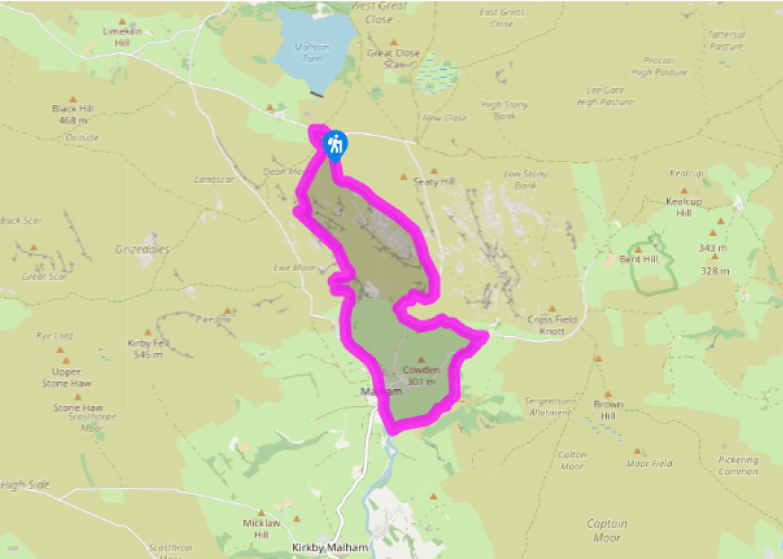
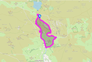
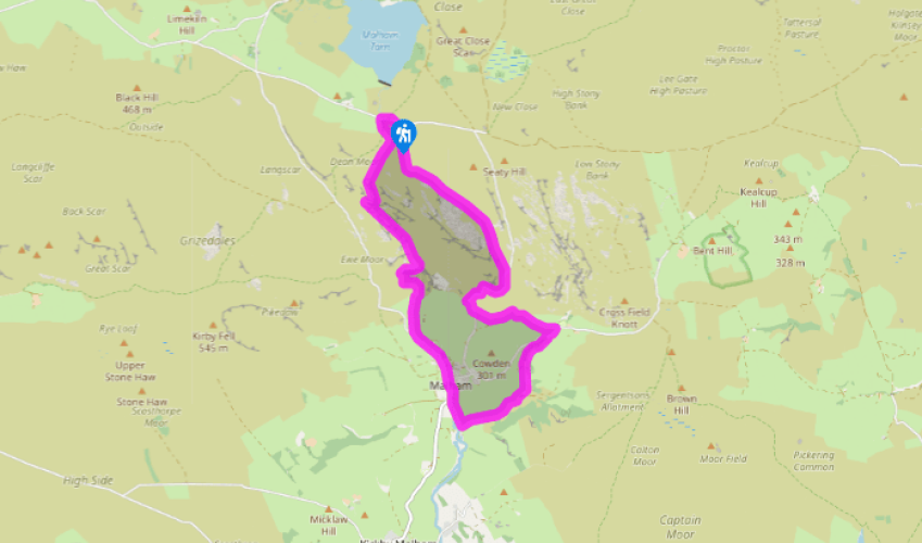
Walk directions
From the car park turn right onto the road and walk across the stream and then turn left through the kissing gate at the Malham Cove sign. Keep left at the next signpost, following the Pennine Way down the dry valley until the path bends sharp right, overlooking another dry valley.
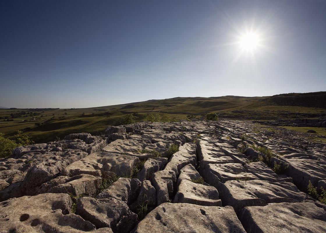
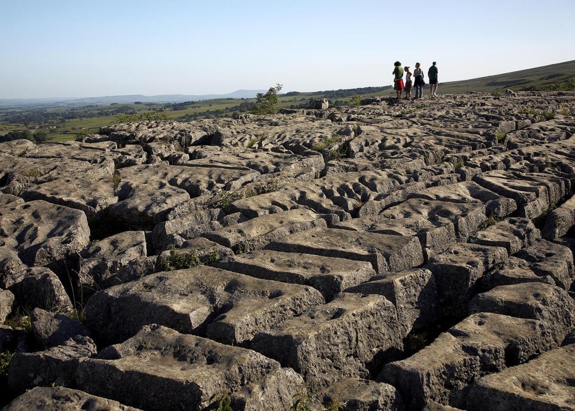
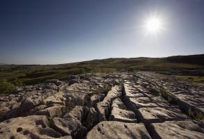
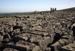
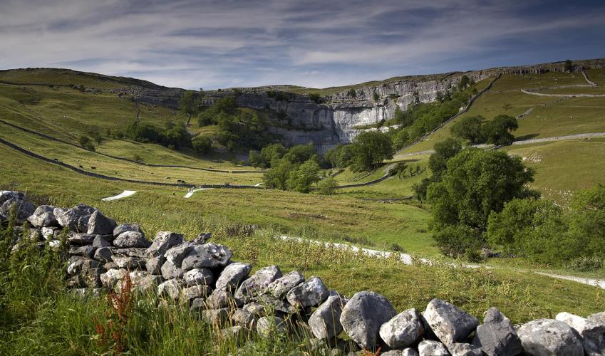
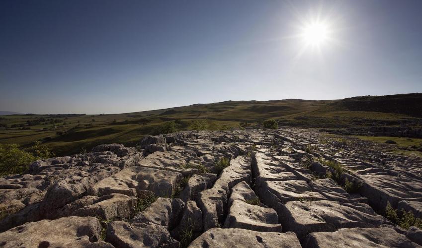
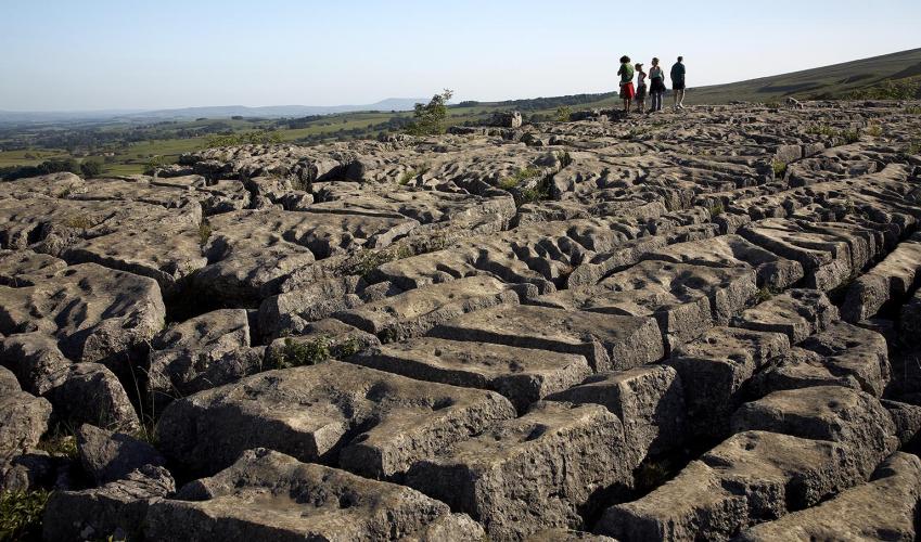
Turn left, cross a stile and descend steeply into the lower valley. Walk down the level valley to a stile at the end. Just beyond this is the limestone pavement at the top of Malham Cove. Turn right and walk along the pavement. Take great care here, both of the sheer drop down to your left and the gaps in the limestone pavement (known as grikes). Turn left to descend beside a stone wall; go through a gate, then descend more than 400 steps to reach the foot of the cove.
View all directions
Additional information
Terrain
- Well-marked field and moorland paths, more than 400 steps in descent from Malham Cove, 5 stiles
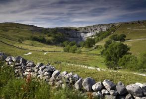
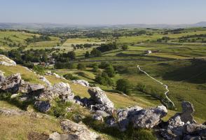
Landscape
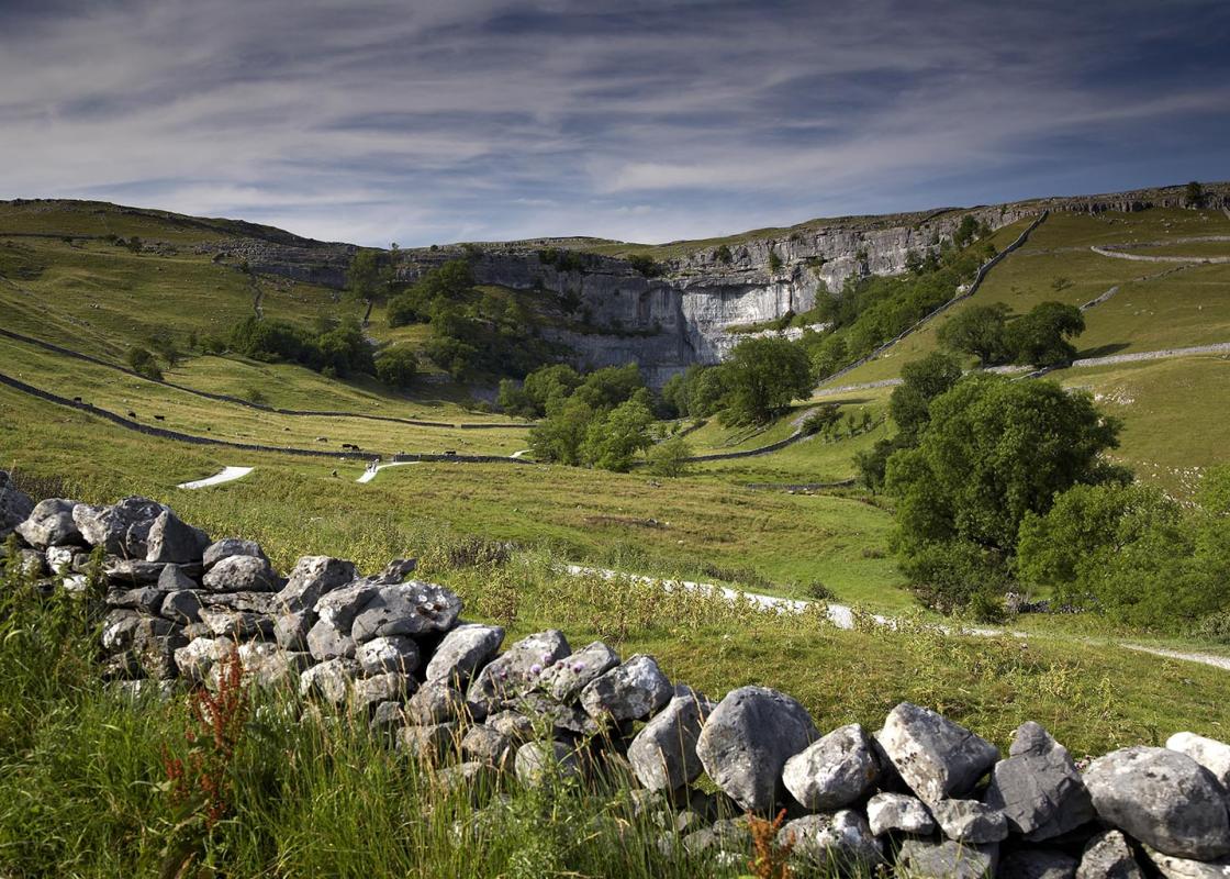
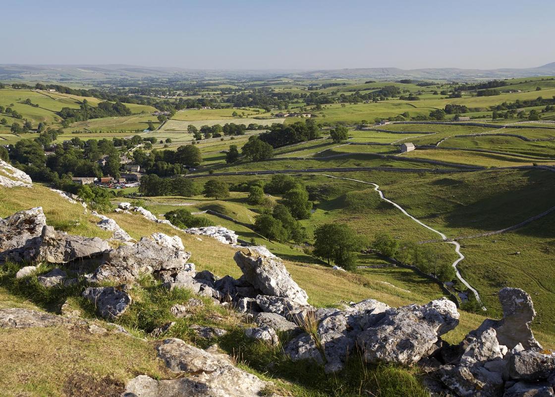
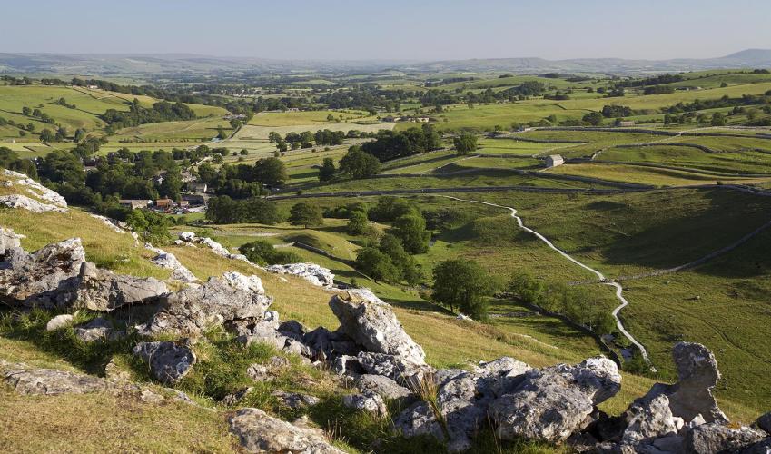
- Spectacular limestone country, including Malham Cove
Dog friendliness
- Mostly off leads, except where sheep are present or signs indicate otherwise
Parking
- At Water Sinks, near gateway across road
Toilets en route
- Car park in Malham village
About the walk
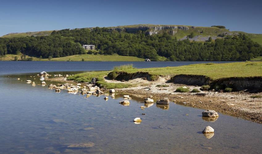
As you begin this walk, the stream from Malham Tarn suddenly disappears in a tumble of rocks. This is the aptly named Water Sinks. In this spectacular limestone country, it is not unusual for streams to plunge underground but this particular stream has not always been so secretive. The now-dry...
Read more

Been on this walk?
Send us photos or a comment about this route. Or recommend a route of your own.

Walking in Safety
Read our tips to look after yourself and the environment when following this walk.

Get an AA guide
Explore our range of ‘50 Walks in’ guides - they’re the ideal companion for a ramble.
Been on this walk?
Send us photos or a comment about this route. Or recommend a route of your own.
Walking in Safety
Read our tips to look after yourself and the environment when following this walk.
Get an AA guide
Explore our range of ‘50 Walks in’ guides - they’re the ideal companion for a ramble.
About the area
North Yorkshire, with its two National Parks and two designated Areas of Outstanding Natural Beauty, is England’s largest county and one of the most rural. This is prime walking country, from the heather-clad heights of the North York Moors to the limestone country that is so typical of the Yorkshire Dales – a place of contrasts and discoveries, of history and legend.
Nearby places to stay
View all (8)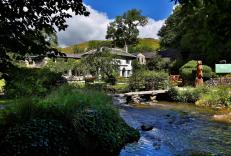


Nearby places to stay
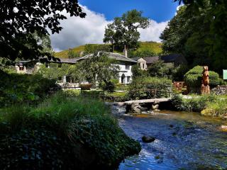
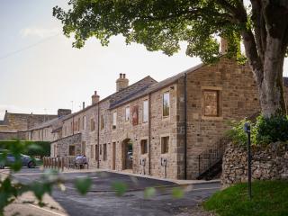
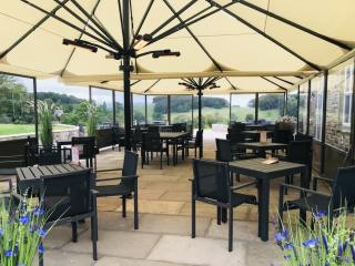
Beck Hall
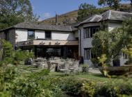
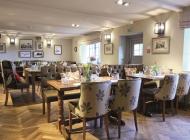
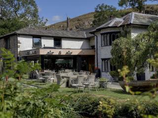
This delightful streamside establishment has many charming and memorable features. The smart restaurant is spacious and overlooks the water, and there are also tables outside for warmer...
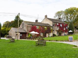
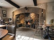
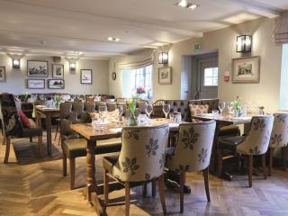
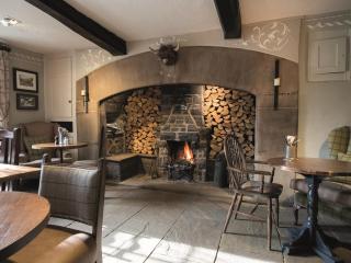
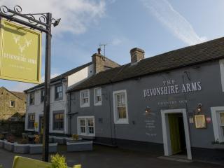
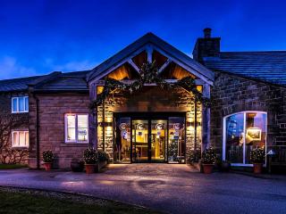
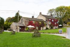
The Lister Arms
Located in Malham in the Yorkshire Dales National Park, The Lister Arms is a traditional country inn with wood beams and open fires. It is close to the village green and a babbling stre...
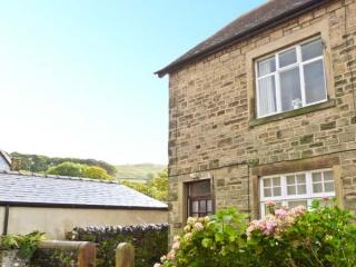
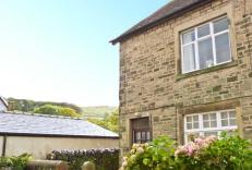
Low Fold Cottage
A mile out of the market town of Settle, Low Fold Cottage was built around 1912 by local watermill owners in what remains a quiet cul-de-sac. While paying attention to tradition, its mo...
Low Fold Cottage
A mile out of the market town of Settle, Low Fold Cottage was built around 1912 by local watermill owners in what remains a quiet cul-de-sac. While paying attention to tradition, its mo...
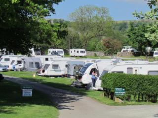
Langcliffe Park
Langcliffe Park is a tranquil family-run park in the beautiful Yorkshire Dales. Offering excellent facilities for touring caravans, motor homes and tents with EHU or serviced pitches av...

Langcliffe Locks
This former mill workers cottage is situated in a quiet rural location at the bottom of a country lane between the river on one side and a charming mill pond on the other. It is one of ...
Langcliffe Locks
This former mill workers cottage is situated in a quiet rural location at the bottom of a country lane between the river on one side and a charming mill pond on the other. It is one of ...
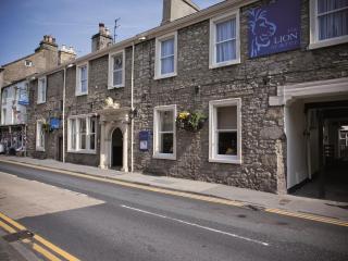
The Golden Lion
The Golden Lion is a traditional coaching inn ideally located in the heart of the pretty market town of Settle. The rooms boast character and have recently been renovated. A wide select...
Places to eat nearby View all