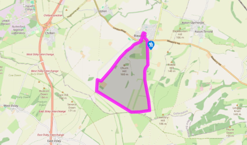
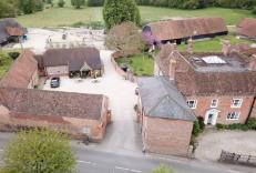
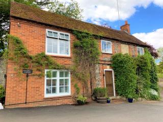
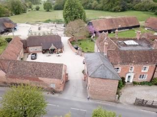
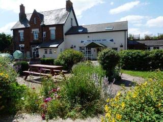
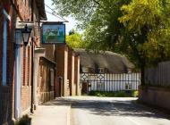
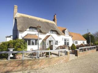
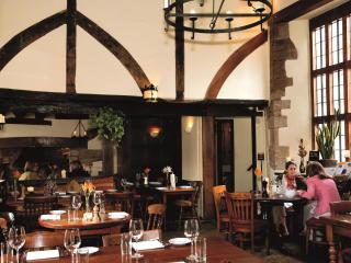
From the illustrated map of the village on the little green beside the main A417, veer off to the right by a seat and follow the path down to the springs. Walk along to an information board and turn right here, passing alongside one of Blewbury’s picturesque and distinctive thatched cob walls. Go ahead towards the church but turn left in front of it and approach the village almshouses. Keep left here and take the little path. Veer left at the fork, keep ahead to cross a path and stream and then cut between the historic cob walls. Join the road by The Red Lion and go straight on to the village war memorial, returning to the A417.
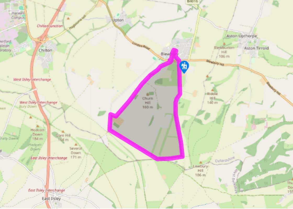
Turn right along the pavement beside the A417. Opposite Westbrook Street turn left at the bridleway sign for the Ridgeway. Head southwest on the path, initially tree-lined, passing seats as you ascend. Go straight over a track and continue straight ahead along a field edge, with the hedgerow on your left. After 1.5 miles (2.4km) you will reach a barn at Churn Farm.
Turn right here, joining a concrete farm road. Pass brick and flint houses and turn left at the next junction. Walk along to the next junction and ahead of you lies an old railway bridge.
Turn left by Park Cottage and follow the concrete track straight and true for nearly 0.75 miles (1.2km). Where it curves left at a barred gate go straight on alongside a hedgerow. Follow this broad, rutted track for 700yds (640m), passing the end of a mown gallop, to join the Ridgeway at a signpost.
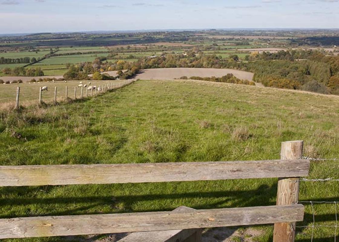
Go ahead, but within 150yds (137m) fork left, away from the Ridgeway. Further on, look for a motor vehicles sign at a crossroads. Turn left, cut between racing gallops, following the track with good views over to the right towards the Thames Valley and the familiar Wittenham Clumps. The track descends and becomes a tarmac road by houses.
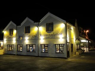
When 75yds (69m) beyond the buildings of Whiteshoot Stables take the footpath, left. As you cross this field there is a view of your route. Descend through Lid’s Bottom, a county wildlife site, and horse paddocks. Finally a path through trees strikes the A417 between The Blueberry pub and the illustrated map in Blewbury.
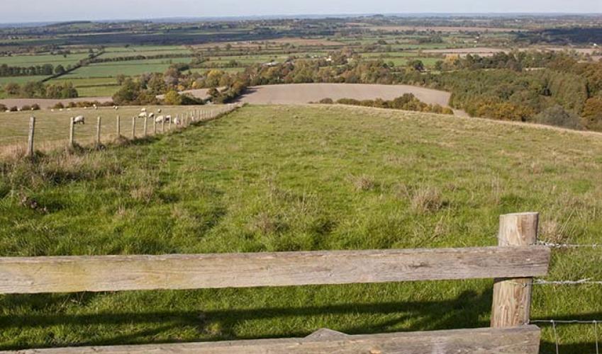
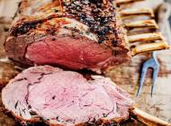
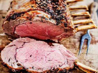
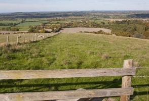
Britain’s oldest road, the Ridgeway extends for 85 miles (137km) through the Buckinghamshire Chilterns to the Thames and then across Berkshire to touch Oxfordshire’s southern boundary before reaching Wiltshire. In places the trail is as wide as a main road or a dual carriageway. The character of... the Ridgeway changes the further west you travel. Initially, the trail cuts through gentle beechwood scenery and across soft rolling hills, but once across the Thames, the Ridgeway cuts across bleak, exposed downland, offering little if any shelter from rain or wind. Take a moment to savour the stillness of this magnificent downland country. It is hard to imagine being more remote or cut off from civilisation than here in this quiet, rural backwater. At times, it can be quite uncanny. This part of Oxfordshire is synonymous with racehorse training. Racing as we know it today has its origins in the period of the Stuart kings. James I established stables at Newmarket and it was here that he kept racehorses and ‘riders for the races’ – the first royal jockeys. Towards the end of the 17th century, racehorses were beginning to appear all over the country, with many breeders introducing Arabian stock. Three of these stallions were the sires from which all our thoroughbreds are descended. As the sport began to draw spectator interest, it split into two different categories – flat racing and racing over jumps. Underneath the grassland of the Berkshire Downs (embracing part of Oxfordshire) lies a flinty chalk soil. Which is ideal terrain, for gallops; training stables for racehorses were soon a permanent feature of local country life. All of this was grist to the writing mill of Dick Francis (1920–2010), the champion jockey-turned crime thriller author, who settled in Blewbury in the 1950s and lived quietly in a modest bungalow for over 30 years. Working in collaboration with his wife, Mary, Francis published his first novel, Dead Cert, in 1962. The racing world provided the backdrop for some 40 best-sellers, and today his son Felix continues the family brand.
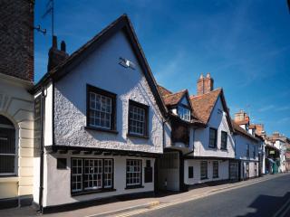
Located at the heart of England, Oxfordshire enjoys a rich heritage and varied scenery, with Oxford’s elegant streets a highlight for visitors. The landscape encompasses open chalk downland, picturesque rivers and attractive villages, while northwest of Oxfordshire is home to the sleepy backwaters of Abingdon, Wallingford, Wantage, Watlington and Witney that reveal how Oxfordshire’s old towns evolved over the centuries.
From the illustrated map of the village on the little green beside the main A417, veer off to the right by a seat and follow the path down to the springs. Walk along to an information board and turn right here, passing alongside one of Blewbury’s picturesque and distinctive thatched cob walls. Go ahead towards the church but turn left in front of it and approach the village almshouses. Keep left here and take the little path. Veer left at the fork, keep ahead to cross a path and stream and then cut between the historic cob walls. Join the road by The Red Lion and go straight on to the village war memorial, returning to the A417.
1 of 6
Turn right along the pavement beside the A417. Opposite Westbrook Street turn left at the bridleway sign for the Ridgeway. Head southwest on the path, initially tree-lined, passing seats as you ascend. Go straight over a track and continue straight ahead along a field edge, with the hedgerow on your left. After 1.5 miles (2.4km) you will reach a barn at Churn Farm.
2 of 6
Turn right here, joining a concrete farm road. Pass brick and flint houses and turn left at the next junction. Walk along to the next junction and ahead of you lies an old railway bridge.
3 of 6
Turn left by Park Cottage and follow the concrete track straight and true for nearly 0.75 miles (1.2km). Where it curves left at a barred gate go straight on alongside a hedgerow. Follow this broad, rutted track for 700yds (640m), passing the end of a mown gallop, to join the Ridgeway at a signpost.
4 of 6
Go ahead, but within 150yds (137m) fork left, away from the Ridgeway. Further on, look for a motor vehicles sign at a crossroads. Turn left, cut between racing gallops, following the track with good views over to the right towards the Thames Valley and the familiar Wittenham Clumps. The track descends and becomes a tarmac road by houses.
5 of 6
When 75yds (69m) beyond the buildings of Whiteshoot Stables take the footpath, left. As you cross this field there is a view of your route. Descend through Lid’s Bottom, a county wildlife site, and horse paddocks. Finally a path through trees strikes the A417 between The Blueberry pub and the illustrated map in Blewbury.
Britain’s oldest road, the Ridgeway extends for 85 miles (137km) through the Buckinghamshire Chilterns to the Thames and then across Berkshire to touch Oxfordshire’s southern boundary before reaching Wiltshire. In places the trail is as wide as a main road or a dual carriageway. The character of... the Ridgeway changes the further west you travel. Initially, the trail cuts through gentle beechwood scenery and across soft rolling hills, but once across the Thames, the Ridgeway cuts across bleak, exposed downland, offering little if any shelter from rain or wind. Take a moment to savour the stillness of this magnificent downland country. It is hard to imagine being more remote or cut off from civilisation than here in this quiet, rural backwater. At times, it can be quite uncanny. This part of Oxfordshire is synonymous with racehorse training. Racing as we know it today has its origins in the period of the Stuart kings. James I established stables at Newmarket and it was here that he kept racehorses and ‘riders for the races’ – the first royal jockeys. Towards the end of the 17th century, racehorses were beginning to appear all over the country, with many breeders introducing Arabian stock. Three of these stallions were the sires from which all our thoroughbreds are descended. As the sport began to draw spectator interest, it split into two different categories – flat racing and racing over jumps. Underneath the grassland of the Berkshire Downs (embracing part of Oxfordshire) lies a flinty chalk soil. Which is ideal terrain, for gallops; training stables for racehorses were soon a permanent feature of local country life. All of this was grist to the writing mill of Dick Francis (1920–2010), the champion jockey-turned crime thriller author, who settled in Blewbury in the 1950s and lived quietly in a modest bungalow for over 30 years. Working in collaboration with his wife, Mary, Francis published his first novel, Dead Cert, in 1962. The racing world provided the backdrop for some 40 best-sellers, and today his son Felix continues the family brand.
Located at the heart of England, Oxfordshire enjoys a rich heritage and varied scenery, with Oxford’s elegant streets a highlight for visitors. The landscape encompasses open chalk downland, picturesque rivers and attractive villages, while northwest of Oxfordshire is home to the sleepy backwaters of Abingdon, Wallingford, Wantage, Watlington and Witney that reveal how Oxfordshire’s old towns evolved over the centuries.