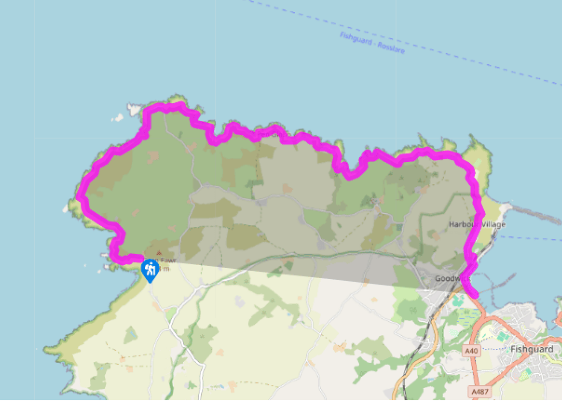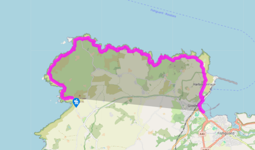
Pembrokeshire Coast Path: Pwll Deri to Goodwick
By the side of the youth hostel, the coast path goes downhill, passing the rocky outcrop of the fort Dinas Mawr, yet more evidence of the ancient Celts’ extensive defence system. It can be reached by its own narrow track. The coast path continues through gorse and heather, winding high above Porth Maenmelyn and climbing on a crumbling path past a large, improbably sited house in the lee of the hillside to the right.
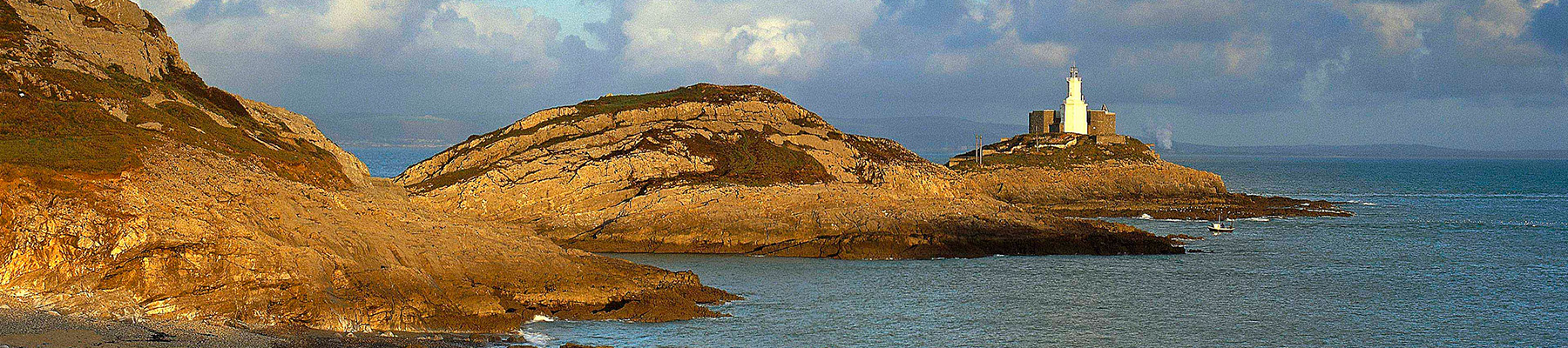
On the far headland there are the brick remains of ugly MoD buildings, which may have some use to walkers as shelter in wet weather, and then the path heads down and up through rounded hillocks of volcanic rock, passing the small, sheltered valley of Pwll Arian, or ‘Silver Pool’, on the way. The lighthouse at Strumble Head is in view along this stretch of the path, a handsome building in traditional, turn-of-the-century lighthouse style, with its piercing light flashing by day and night. It was
built in 1908 on Ynys Meicel, one of a series of islets stretching westwards from Strumble Head.

Been on this walk?
Send us photos or a comment about this route. Or recommend a route of your own.

Walking in Safety
Read our tips to look after yourself and the environment when following this walk.

Get an AA guide
Explore our range of ‘50 Walks in’ guides - they’re the ideal companion for a ramble.
Been on this walk?
Send us photos or a comment about this route. Or recommend a route of your own.
Walking in Safety
Read our tips to look after yourself and the environment when following this walk.
Get an AA guide
Explore our range of ‘50 Walks in’ guides - they’re the ideal companion for a ramble.
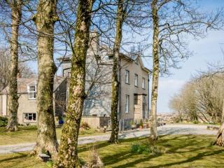
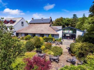
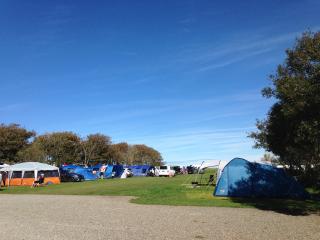
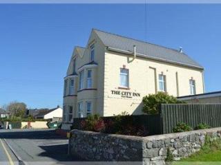
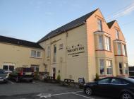
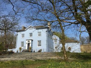
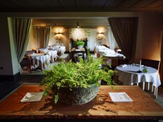
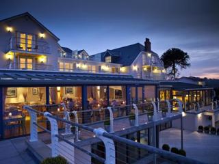
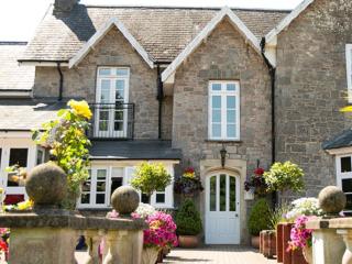
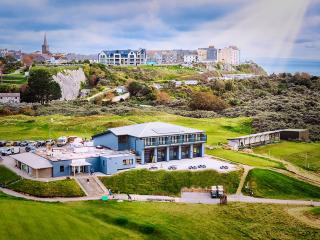
Nearby places to stay
View all (8)