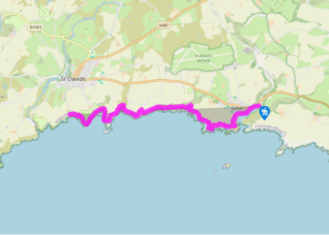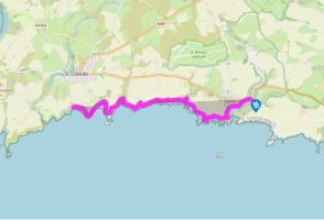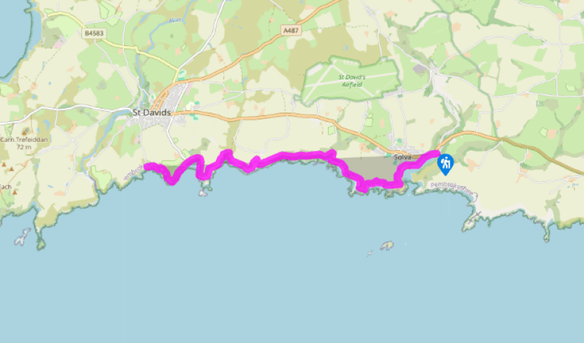
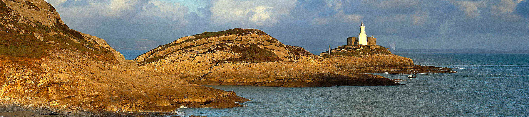
Pembrokeshire Coast Path: Solva to St David's
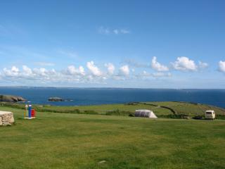
The path heads up the west side of the estuary, passing a terrace of houses in a fine position before joining an ivy-covered pathway which leads once more to the cliff-tops. The walking here is both easy and spectacular, with dramatic cliffs ahead and quiet farmland inland. There is a view over the whole
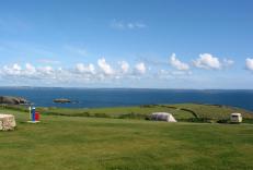
massive area of St Brides Bay, from Ramsey Island in the north to the island of Skomer in the south, both noted as nature reserves. The cliffs themselves are quite forbidding, and evidence of their
unforgiving nature can be seen in the rusting remains of a ship at Aber-long; one of three Greek tugs wrecked here while en route from Liverpool.
Passing through National Trust land, the path goes by the concentric ditches of the massive Ogof Castell hill fort, before dropping down to Porth y Rhaw, which was once a busy place with a woollen mill and factory that ceased production in 1915. Inland is Morfa Common; an area of heathland maintained
by the National Trust.

Been on this walk?
Send us photos or a comment about this route. Or recommend a route of your own.

Walking in Safety
Read our tips to look after yourself and the environment when following this walk.

Get an AA guide
Explore our range of ‘50 Walks in’ guides - they’re the ideal companion for a ramble.
Been on this walk?
Send us photos or a comment about this route. Or recommend a route of your own.
Walking in Safety
Read our tips to look after yourself and the environment when following this walk.
Get an AA guide
Explore our range of ‘50 Walks in’ guides - they’re the ideal companion for a ramble.
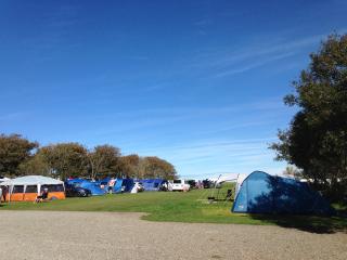
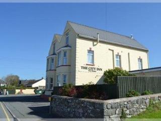
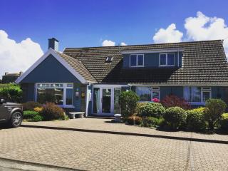
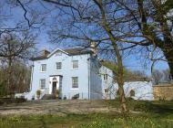
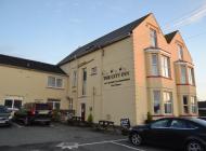
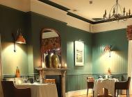
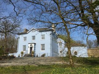
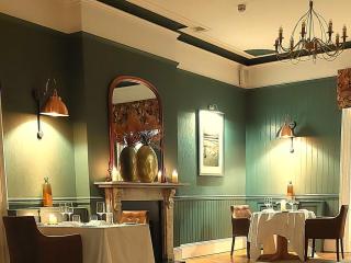
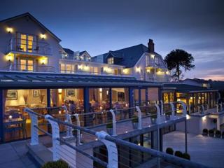
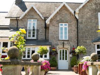
Nearby places to stay
View all (8)


- Launderette
- Ice pack facility
- Wifi available
- Calor Gas