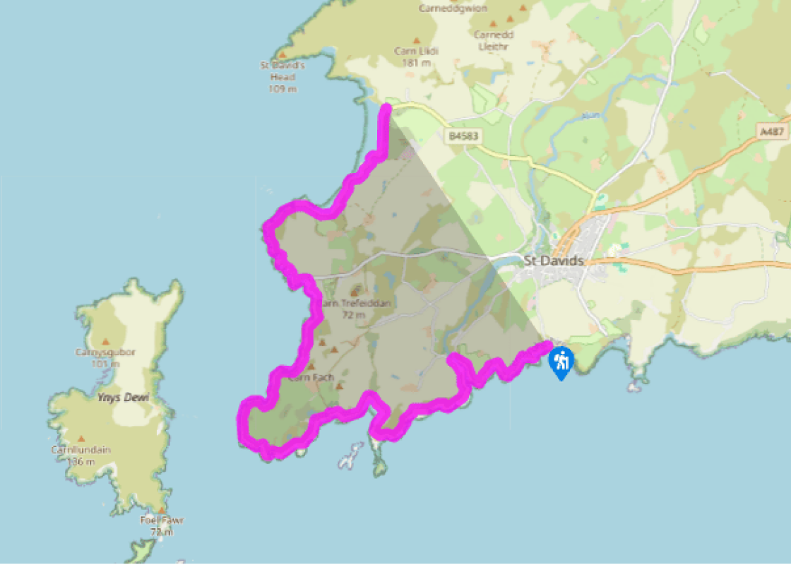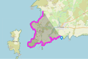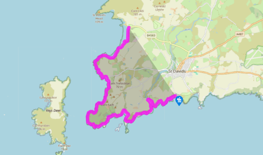
Pembrokeshire Coast Path: St David's to Whitesands Bay
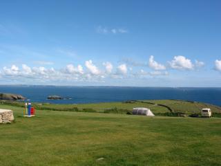
From the ruins of St Non’s, the coast path follows the spectacular rocky coastline westwards. Visible here is the wide colour range in the lichen-covered Cambrian rock structure which has been upended by volcanic activity. As you round the headland known as Trwyn Cynddeiriog (which can aptly be translated as the ‘Furious Point’), small hollows alongside the path show where farmers quarried stone to build their field boundaries. As it winds its way along the coastline, the path affords wonderful views of the near-vertical cliffs.
Past the next bay the path turns inland above Porth Clais Harbour. This picturesque inlet is a haven for a small fleet of fishing boats, the only habitation being two small cottages. A modern sea wall has been built on the remains of an old wall at the entrance, and at the head of the inlet a bridge crosses
the River Alun, which flows into the sea here on its way from St David’s. Porth Clais was the principal harbour for St David’s from the 14th century, receiving building timber imported from Ireland as well as produce such as corn, malt and wool from as far afield as Barnstaple, Bristol and Merioneth. Coal was brought to the harbour by boats well into the 20th century, but that trade has now completely disappeared. By the side of the river the restored limekilns can be seen, but the cottages that once housed the lime-burners who looked after them are now ruins, and the pub that once stood on the quay wall has now also disappeared.
Past Porth Clais, the St David’s peninsula is flat and windswept, and the path moves away from the cliff edge and through National Trust land.

Been on this walk?
Send us photos or a comment about this route. Or recommend a route of your own.

Walking in Safety
Read our tips to look after yourself and the environment when following this walk.

Get an AA guide
Explore our range of ‘50 Walks in’ guides - they’re the ideal companion for a ramble.
Been on this walk?
Send us photos or a comment about this route. Or recommend a route of your own.
Walking in Safety
Read our tips to look after yourself and the environment when following this walk.
Get an AA guide
Explore our range of ‘50 Walks in’ guides - they’re the ideal companion for a ramble.
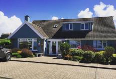
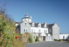
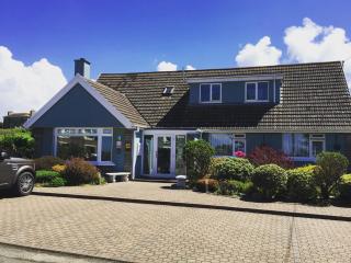
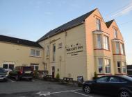
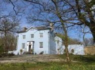
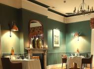
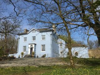
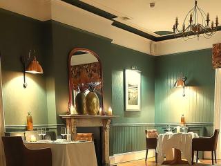
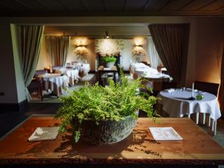
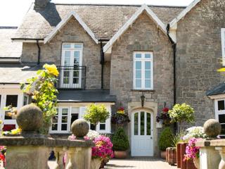
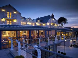
Nearby places to stay
View all (8)

- Launderette
- Ice pack facility
- Wifi available
- Calor Gas