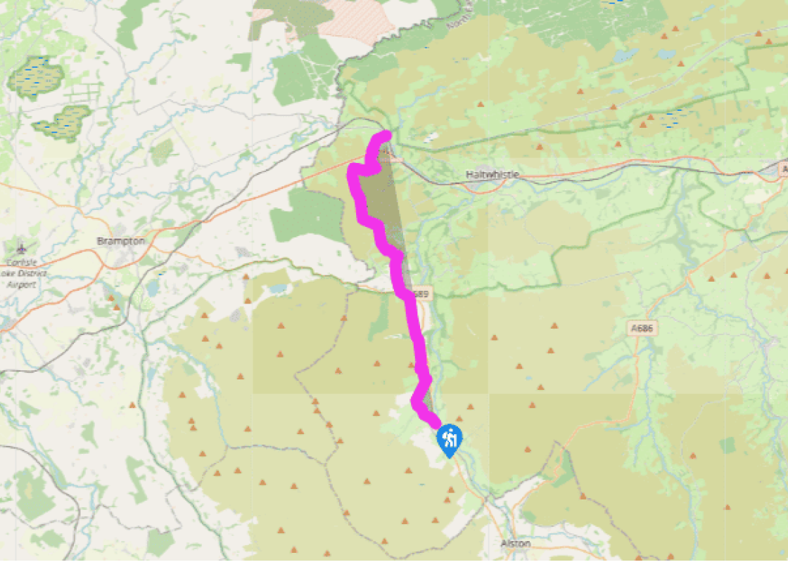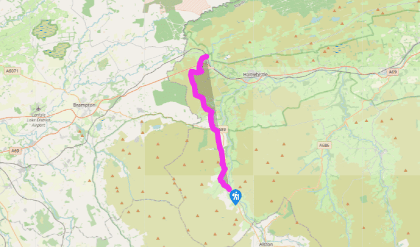
Pennine Way: Slaggyford to Greenhead
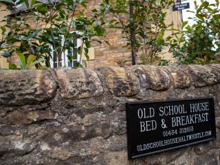
The Pennine Way turns left off the A689 on a side road in Slaggyford, then bears right of the old Methodist chapel (now a bed-and-breakfast) and heads along a lane beside damp fields of marsh marigolds. The old Alston–Haltwhistle branch line, which closed in 1976, is down to the left. The route descends through some attractive woodland, awash in their season with wild flowers such as primrose, wood anemone, early purple orchid and wood cranesbill. After crossing a footbridge, the path goes under the railway embankment, and across a field to Merry Knowe.
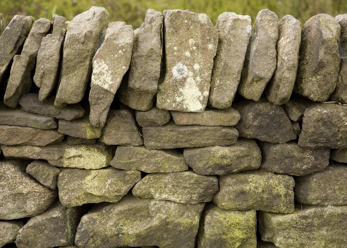
The route is confusing here, as is so often the case around working farms. Go through the gate and then, keeping close to the wall on the right at first, cross three stone stiles. This brings you out again on to pasture and, although there is no clear path to follow, route-finding is quite easy. Go through a small gate and over several stiles, crossing a minor road diagonally left before more field walking drops you towards the viaduct at Burnstones. Just before the viaduct, drop down to the Thinhope Burn and go under the first arch of the viaduct and out on to the road.

Been on this walk?
Send us photos or a comment about this route. Or recommend a route of your own.

Walking in Safety
Read our tips to look after yourself and the environment when following this walk.

Get an AA guide
Explore our range of ‘50 Walks in’ guides - they’re the ideal companion for a ramble.
Been on this walk?
Send us photos or a comment about this route. Or recommend a route of your own.
Walking in Safety
Read our tips to look after yourself and the environment when following this walk.
Get an AA guide
Explore our range of ‘50 Walks in’ guides - they’re the ideal companion for a ramble.
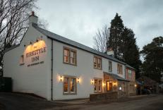
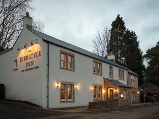
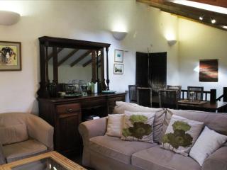
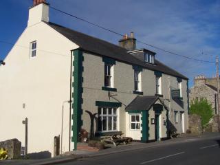
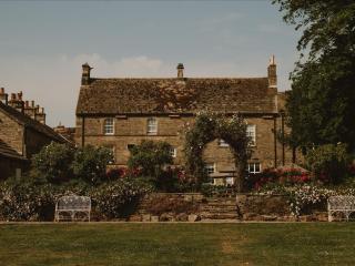
Nearby places to stay
View all (8)