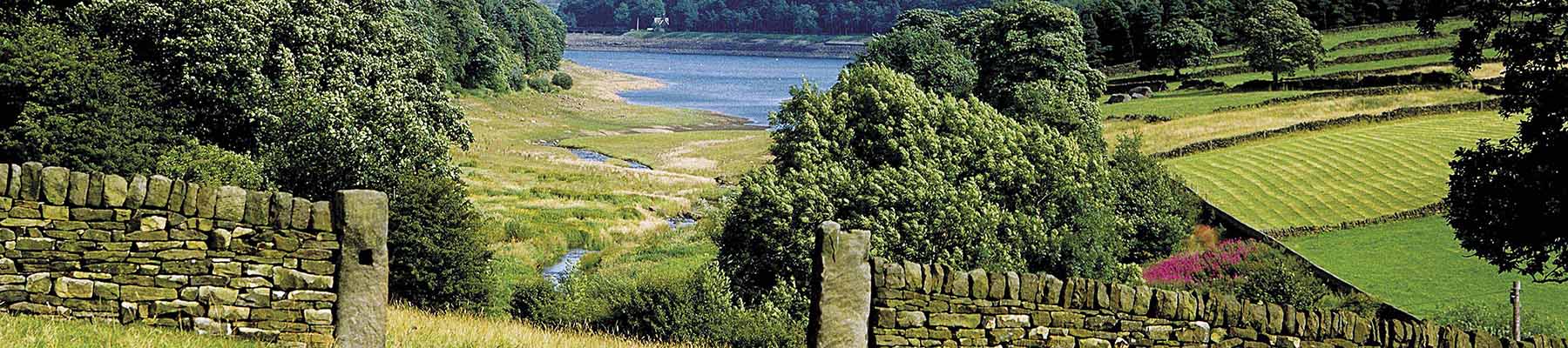
Around Bradfield
Recommended by

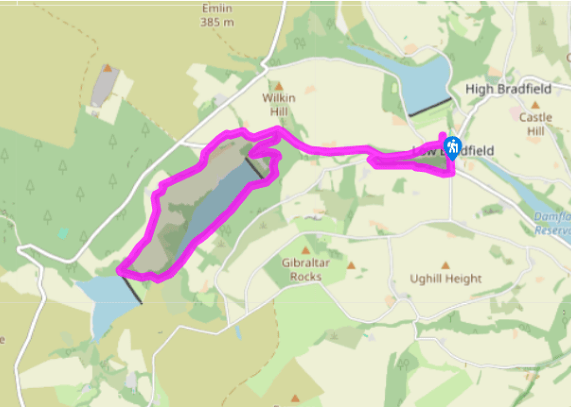
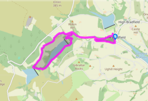
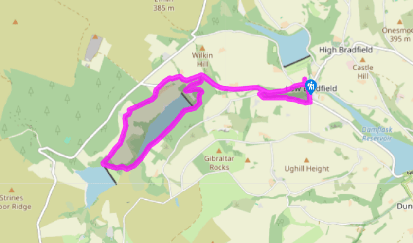
Walk directions
Exit the car park and turn right on to the road. At the second junction go right, signed ‘Strines and Derwent Valley’. Follow this road uphill, passing, on the right, a former inn, Walker House farm and Upper Thornseat. When the road turns right, with Thompson House below, turn left on to an overgrown track, signposted ‘public bridleway’.
From here go through a gate in front of you and on to Hall Lane. Follow this along the edge of a wood then through another gate and continue ahead on the farm road. Another gate at the end of this road leads to the entrance to Hallfield.
View all directions
Additional information
Terrain
- Minor roads, bridleways and forest paths, few stiles
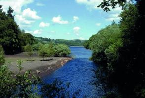
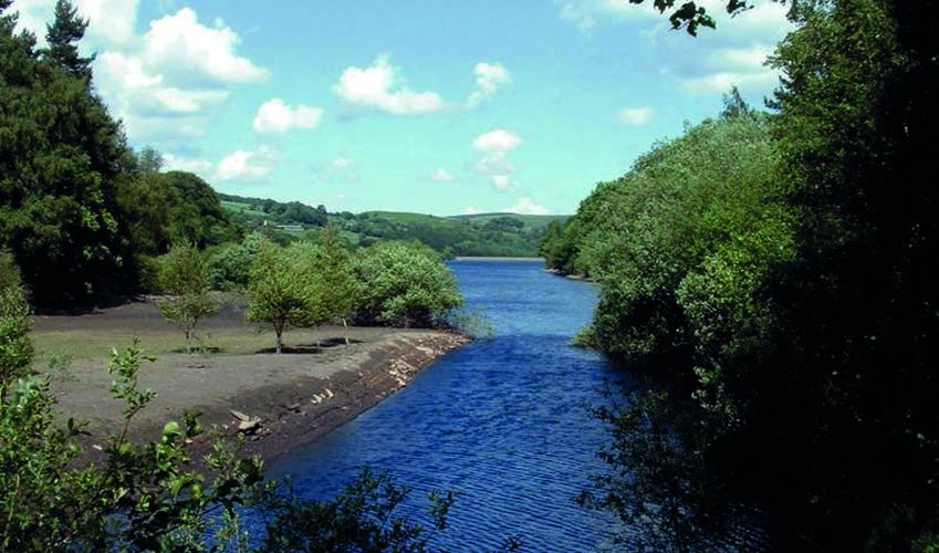
Landscape
- Woodland, reservoir and meadows
Dog friendliness
- Keep on lead near livestock
Parking
- The Sands car park next to cricket ground
Toilets en route
- Across the river from car park behind village hall
About the walk
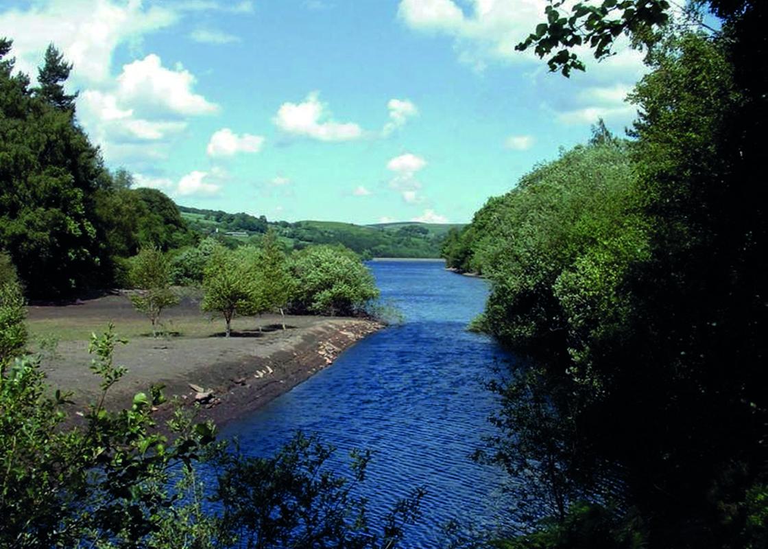
The Bradfield Scheme During the Industrial Revolution Sheffield expanded rapidly, as country people sought employment in the city’s steel and cutlery works. This put considerable pressure on the water supply. The ‘Bradfield Scheme’ was Sheffield Waterworks Company’s ambitious proposal to build...
Read more

Been on this walk?
Send us photos or a comment about this route. Or recommend a route of your own.

Walking in Safety
Read our tips to look after yourself and the environment when following this walk.

Get an AA guide
Explore our range of ‘50 Walks in’ guides - they’re the ideal companion for a ramble.
Been on this walk?
Send us photos or a comment about this route. Or recommend a route of your own.
Walking in Safety
Read our tips to look after yourself and the environment when following this walk.
Get an AA guide
Explore our range of ‘50 Walks in’ guides - they’re the ideal companion for a ramble.
About the area
Traditionally a steel and coal producing centre, the decline of both industries in South Yorkshire has been replaced to some extent by tourism based around the area’s beautiful Pennine countryside. The county claims part of the Peak District National Park, whose hills and dales provide welcome space for the large urban populations.
Nearby places to stay
View all (8)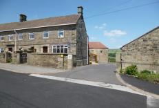


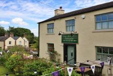


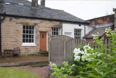

Nearby places to stay
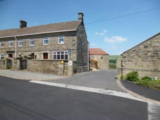
Padley Farm
Padley Farm is in the quiet village of Dungworth, just on the border of the Peak District, surrounded by panoramic views and great countryside walks yet only a 20 minute drive from Shef...
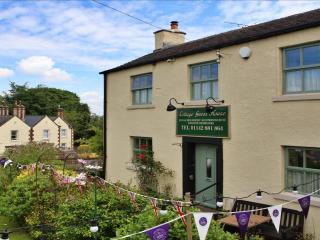
Wortley Cottage Guest House
Located not far from Sheffield, Wortley Cottage is a small, homely bed and breakfast with high standards of cleanliness and very hospitable hosts who also own the adjoining village Post...
Wortley Hall
Self-catering guests in Gardeners, Garvins and Swift cottages may also, if they wish, dine and drink in the grand surroundings of Wortley Hall itself. In 26 acres of grounds, the ‘worke...
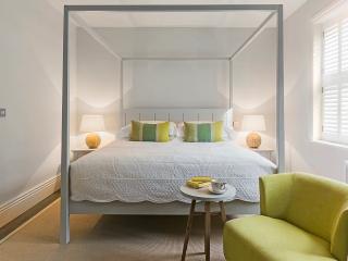
Brocco on the Park
Brocco on the Park is a charming restaurant with rooms located near Sheffield's city centre. The eight bedrooms have all been decorated with simplicity and comfort in mind; expect a cos...
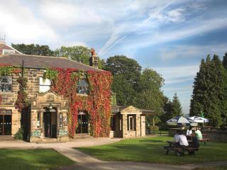
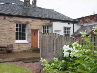
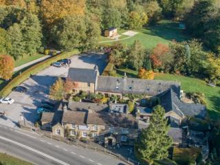
Cubley Hall
Cubley Hall has always been a place that gathers people together, by hosting weddings, parties, get-togethers, business events and meetings. It’s also a great base for exploring the stu...
The George in Hathersage
Nestled in the heart of the picturesque Peak District, The George Hathersage is a historic 500-year-old coaching inn, once frequented by Charlotte Brontë. The inn features 24 beautifull...
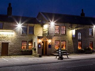
Dog & Partridge
The Dog & Partridge, a comfortable family-run inn, is located within the Peak District National Park. Bedrooms are situated in the 18th-century barn adjoining the inn; all rooms are com...
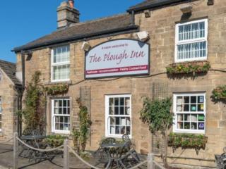
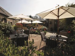
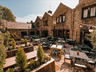
The Plough Inn
This delightful 16th-century inn with a newly revamped beer garden, which includes a "Horsebox Bar" has an idyllic location by the River Derwent. A selection of real ales and award-winn...
Places to eat nearby View all