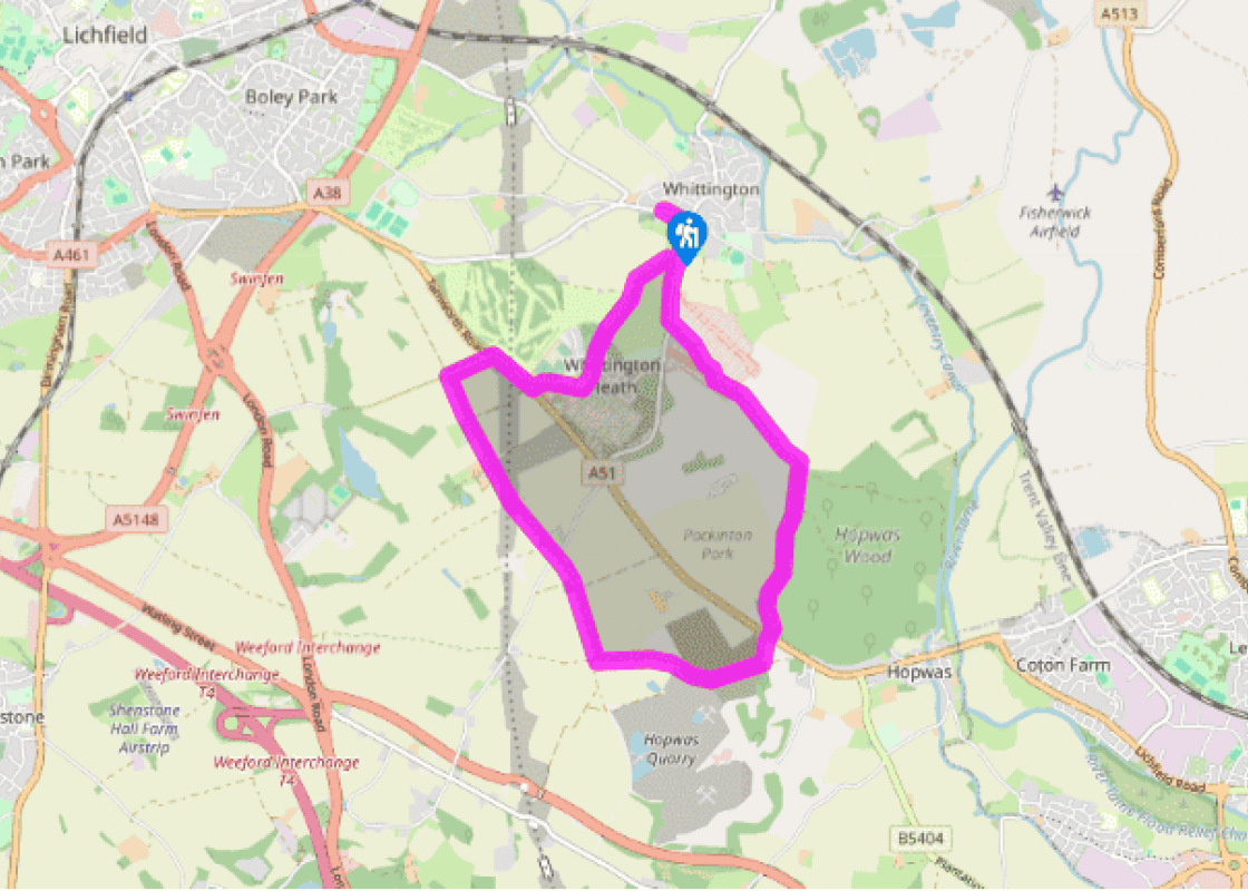
Additional information
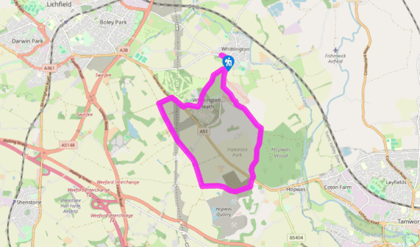
Terrain
- Roads, gravel and sand tracks, dirt trails, may be muddy after rain, several stiles
Landscape
- Farmland and forest
Dog friendliness
- On lead near livestock and roads
Parking
- Ample roadside parking in Whittington
Toilets en route
- None on route
About the walk
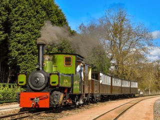
Whittington Barracks, just south of the village of the same name, has been the home of the Staffordshire Regiment since 1881. The regiment dates back to 1705, when the 38th Foot was raised at the King’s Head Hotel in Lichfield by Colonel Luke Lillingston, and it first saw active service fighting... the French and Spanish in the West Indies. The raising of other regiments over the next 120 years led, through a complex process of change and reorganisation, to the formation of the Staffordshire Regiment after World War II, and its recent amalgamation into the Mercian Regiment. It was conferred the title of the Prince of Wales’s in 1876, following the presentation of colours by the Prince of Wales (later crowned King Edward VII). All of this history, and much more besides, is related by the fascinating Staffordshire Regiment Museum at Whittington Barracks, with memorabilia from the many campaigns the regiment has been embroiled in. Perhaps the most interesting of the displays is the one dedicated to the story of those in the regiment who have been awarded the highest wartime honour. The Victoria Cross was first established by royal warrant in 1856, to recognise acts of uncommon valour during the Crimean War, 1854–56. It was ordained that it should ‘only be awarded for most conspicuous bravery, or some daring or pre-eminent act of valour or self-sacrifice or extreme devotion to duty in the presence of the enemy’. All VCs are forged from the remains of bronze cannon, captured either during the Crimean War or during the First China War. The metal is guarded by 15 Regiment in Donnington, secured in vaults and rarely removed; the most recent issue of metal, sufficient to make 12 medals, was made in 1959. It’s thought the remaining metal is enough to make a further 85 medals; given that only 15 have been won since the end of World War II, it can be expected that this will suffice for many years to come. In all, 1,358 Victoria Crosses have been won, and of these, 1,156 were awarded before the end of World War I. At least three witnesses are needed for recommendation. All medals require royal assent and are presented by the reigning monarch. The inscription on front of the VC states simply: ‘For Valour’. It has been estimated that the chances of surviving a VC action is 1 in 10. Of the 11 members of the Staffordshire Regiment who have been awarded the VC, probably the most famous is Lance Corporal William Coltman, a stretcher bearer during operations at Mannequin Hill in France on 3 and 4 October 1918. Hearing that wounded men had been left behind during a retreat, Corporal Coltman went forward alone in the face of relentless enemy fire, found the casualties, dressed their wounds and carried some of them to safety on his back on three occasions. For the next two days and nights he looked after the wounded constantly. He later became the most decorated NCO of World War I.
Read more