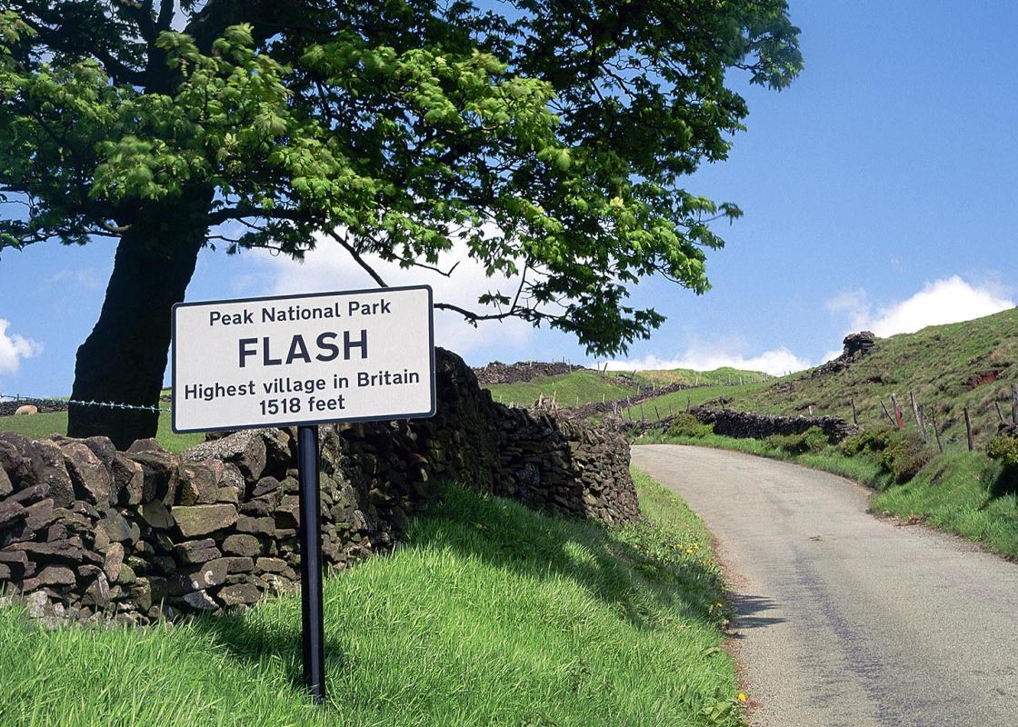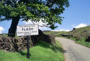
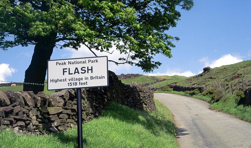
Flash - the highest village
Recommended by

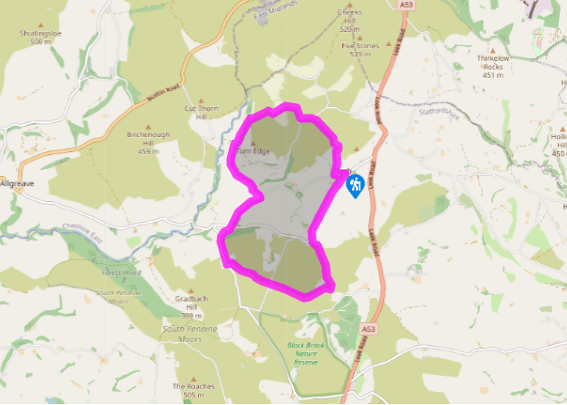
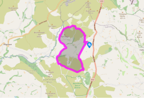
"A rugged moorland walk over old packhorse ways. Optional detour to Panniers Pool."
Walk directions
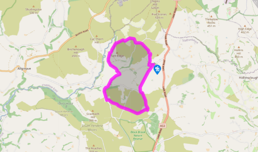
From the church gates walk down Back Oth Cross passing The New Inn. At the edge of the village, branch right on a track bending past Bank House and Far View Cottage. Fork right at a bright yellow fingerpost and into fields. Enter a walled track, ending as you cross a stile. Continue at the edge of rough pasture, then turn left through a gate on to a short grassy track.
At the track’s end, bear right over Wolf Edge. Descend the right boundary past a redundant stile. Cross to the far side, then cross back towards the bottom of the slope, angling down towards a lane. Go left, then right into Knotbury. Pass Knotbury Lea Cottage, then fork left at a fingerpost. Head downhill beside the wall, ignore a track left, and continue with the moorland path, bending right then left at the field end. Rise on to Turn Edge, maintaining your direction at a stile.
View all directions
Additional information
Terrain
- Field and rugged moorland paths, can be boggy after rain, some roads, many stiles
Landscape
- Hills, moorland and meadows
Dog friendliness
- Keep on lead near livestock, cattle may be present
Parking
- Small car park on Brown Lane, near church
Toilets en route
- None on route
About the walk
Turn left. Pass the entrance to Cwm Hall as the lane bends left, and walk through the tiny hamlet of Cwm. At a sharp bend in the lane, just past Cwm House, by the entrance to Cwm Farm, take a footpath that climbs diagonally up two pastures to meet the lane again. Turn left and descend through...
Read more

Been on this walk?
Send us photos or a comment about this route. Or recommend a route of your own.

Walking in Safety
Read our tips to look after yourself and the environment when following this walk.

Get an AA guide
Explore our range of ‘50 Walks in’ guides - they’re the ideal companion for a ramble.
Been on this walk?
Send us photos or a comment about this route. Or recommend a route of your own.
Walking in Safety
Read our tips to look after yourself and the environment when following this walk.
Get an AA guide
Explore our range of ‘50 Walks in’ guides - they’re the ideal companion for a ramble.
About the area
Staffordshire features lofty moors, deep dales and tremendous views of both. Further south are the six sprawling towns that make up Stoke-on-Trent, which historically have had such an impact on Staffordshire’s fortunes, not to mention its culture and countryside.
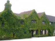
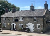
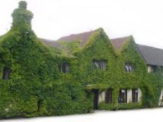
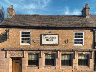
Nearby places to stay
View all (8)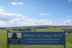


Nearby places to stay

Longnor Wood Holiday Park
Longnor Wood is a spacious, adults-only park in a secluded, peaceful setting in the heart of the Peak District National Park. A hidden gem, the park is surrounded by beautiful rolling c...

Foxlow Grange by Muse Escapes
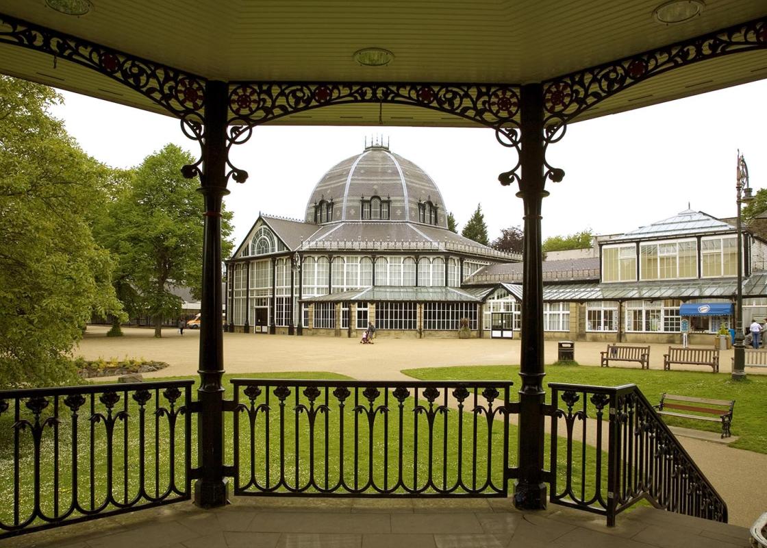
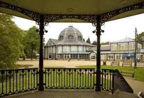
In the spa town of Buxton, Foxlow Grange contains beautifully decorated apartments for a luxurious break. Local attractions include St Ann’s Well for a taste of Buxton water, as well as...
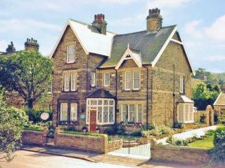
Braemar
Braemar is a long-established, central yet quietly situated Victorian property offering homely and comfortable accommodation. It’s within easy walking distance of the historic towns man...
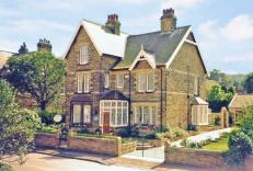
Roseleigh Guest House
This elegant property has a prime location overlooking Pavilion Gardens, and the quality decor highlights its many original features. The thoughtfully designed bedrooms are adorned with...
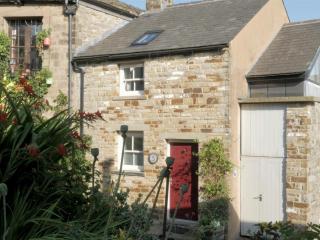
5 Church Street
Deceptively spacious and light, 5 Church Street is a contemporary re-making of a former cottage on one of Buxton’s oldest streets. It combines traditional character with all the facilit...
5 Church Street
Deceptively spacious and light, 5 Church Street is a contemporary re-making of a former cottage on one of Buxton’s oldest streets. It combines traditional character with all the facilit...
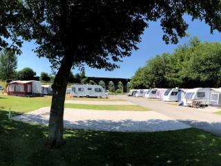
Lime Tree Park
A very attractive and well-designed site set on the side of a narrow valley in an elevated location, featuring separate, neatly landscaped areas for static caravans, tents, touring cara...
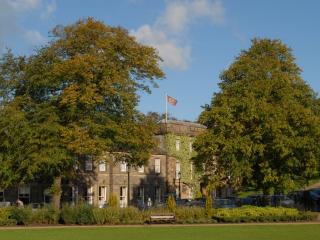
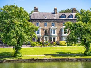
Old Hall Hotel
The Old Hall Hotel in Buxton is reputed to be the oldest in England, with a rich history that dates back thousands of years and features some notable guests, including Mary Queen of Sco...
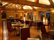
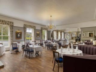
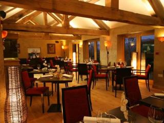
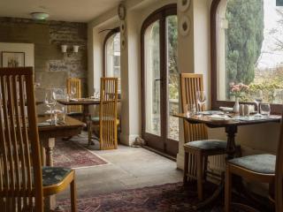
Places to eat nearby View all