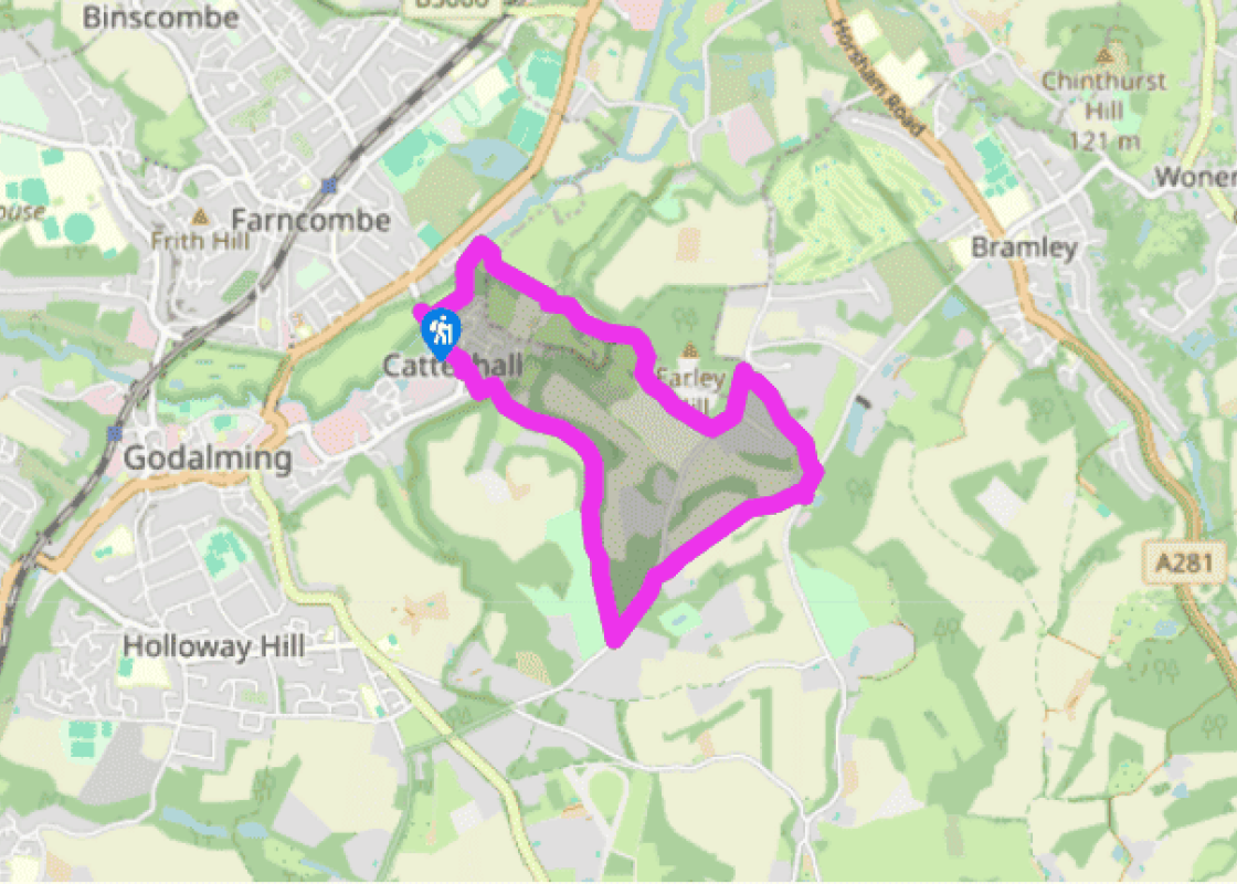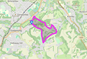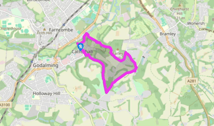
A Circuit aound Catteshall
Recommended by

"Hidden history and marvellous landscapes are revealed above the canal."
Walk directions
Start at the bridge over the river and walk to the bank opposite Farncombe Boat House. Go along the towpath away from the road bridge to Trowers Bridge. (To visit the Manor Inn continue ahead for 125yds/114m.) To continue the walk, turn right over the bridge and go straight ahead, ignoring the public bridleway on the left. At the next waymarked cross-track a few paces on, take the left-hand bridleway as it runs alongside a sloping paddock. Near the top of the paddock, pass beneath a large fallen tree, and at a junction of paths keep ahead on a slow and steady ascent on the sunken path. At the top, continue ahead, walking alongside a high metal fence behind which is Unsted Park School. Turn left along the tarmac drive and then bear left at the bottom, past The Lodge, to Munstead Heath Road.
Turn left along the road, passing Munstead View Road and downhill until, at a concealed sign by Wood End, turn right along a public bridleway that emerges onto a gravel driveway by Orchard Cottage. Turn left, and, at the road, turn right by some cottages. Pass a small pond on the left, and turn right just beyond Nurscombe Farm, along a public footpath. This bears left over a stile and uphill, keeping to the left of the field. Go over another stile and follow the path between fields and, after a third stile, along an avenue of coppiced hazel. After a couple more stiles, you walk along a wider track past a private house, Orchards, with a large stone wall on the left.
View all directions
Additional information
Terrain
- Several paths are well surfaced, others are through woods and farmland; 5 stiles
Landscape
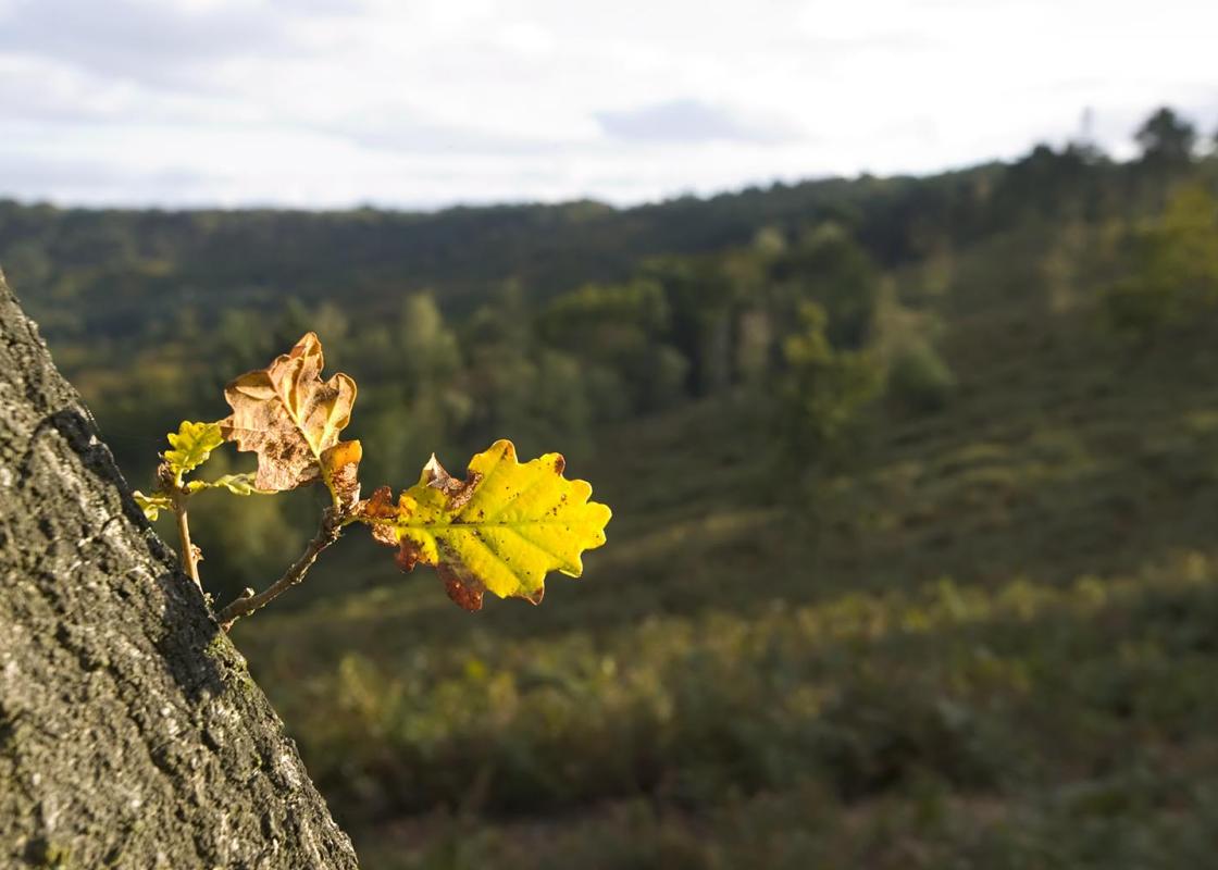
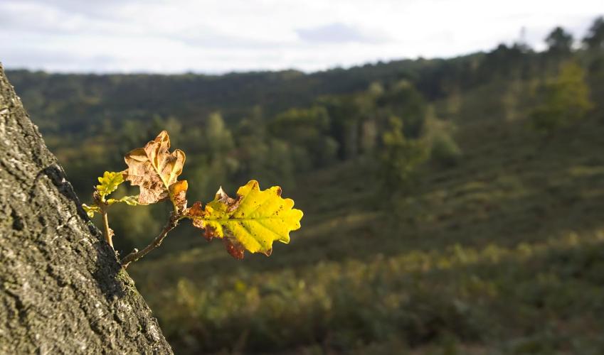
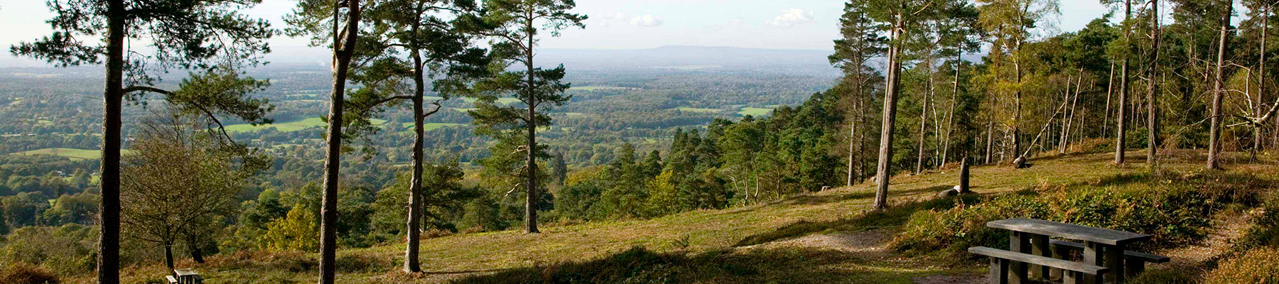
- Rising above Catteshall there are good views of Farncombe and, later, of attractive farmland
Dog friendliness
- Generally good, but on lead near livestock
Parking
- On-street parking on Catteshall Road near the lock
Toilets en route
- In Farncombe BoatHouse at Catteshall Lock
About the walk
The stretch of water between Godalming and Guildford was described by William Cobbett as ‘the prettiest four miles in all England’. The starting point of this walk, Catteshall, is on the riverbank and full of interest. Catteshall Bridge is built on the piers of a medieval bridge that crossed the...
Read more

Been on this walk?
Send us photos or a comment about this route. Or recommend a route of your own.

Walking in Safety
Read our tips to look after yourself and the environment when following this walk.

Get an AA guide
Explore our range of ‘50 Walks in’ guides - they’re the ideal companion for a ramble.
Been on this walk?
Send us photos or a comment about this route. Or recommend a route of your own.
Walking in Safety
Read our tips to look after yourself and the environment when following this walk.
Get an AA guide
Explore our range of ‘50 Walks in’ guides - they’re the ideal companion for a ramble.
About the area
Surrey is one of England’s most wooded counties, with over a quarter of the landscape designated as an official AONB and plenty of history evident in the countryside. You’ll find sandy tracks, cottage gardens and welcoming village inns, and on the fringe of Greater London you can picnic in Chaldon’s hay meadows, explore the downs at Epsom, or drift idly beside the River Thames.
Nearby places to stay
View all (8)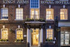


Nearby places to stay
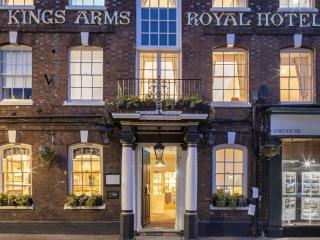
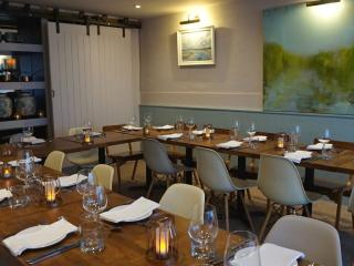
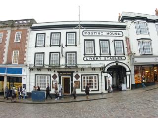
King’s Arms & Royal
The King's Arms and Royal is in the town of Godalming, and was first mentioned in 1639. Nestled between the Surrey Hills AONB and the South Downs National Park, this charming property w...
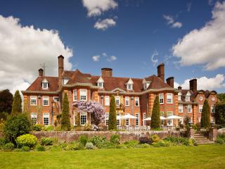
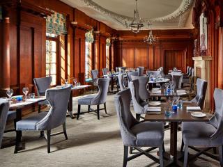
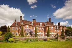
Barnett Hill Hotel
In the heart of the Surrey Hills, Barnett Hill is a beautiful Queen Anne-style mansion dating back to 1905; it sits in 26 acres of lovingly maintained gardens and woodland, a tranquil a...
The Angel
On the high street, in the heart of Guildford and within the popular Angel Gate area with its shops and restaurants, this historic property features a range of rooms including spacious ...

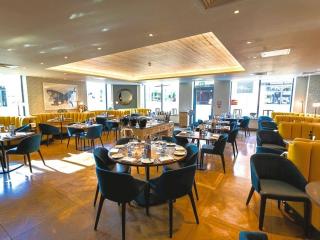
Guildford Harbour Hotel
Not far from the high street, Guildford Harbour Hotel offers a comfortable and luxurious environment. Bedrooms are well appointed and corporate events are a specialty. The two restauran...
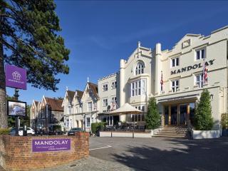
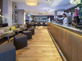
The Mandolay Hotel
Ideally located near the heart of Guildford, The Mandolay Hotel combines contemporary style with comfort and convenience. All bedrooms are thoughtfully designed with modern amenities, i...
The Drummond at Albury
The Drummond at Albury is well located for a weekend away in the tranquillity of the Surrey Hills, and is popular with business guests looking for somewhere a bit less corporate than on...
Edgeley Country Park
Within 45-minutes of central London and Gatwick Airport, but a whole world away from the stresses of everyday life, Edgeley Country Park is an idyllic retreat. Tucked away in 26 acres o...
Guildford Manor Hotel
Guildford Manor Hotel is a contemporary hotel located in the tranquillity of the Surrey Hills countryside – it's the ideal place to celebrate special occasions and have a relaxing weeke...
Places to eat nearby View all