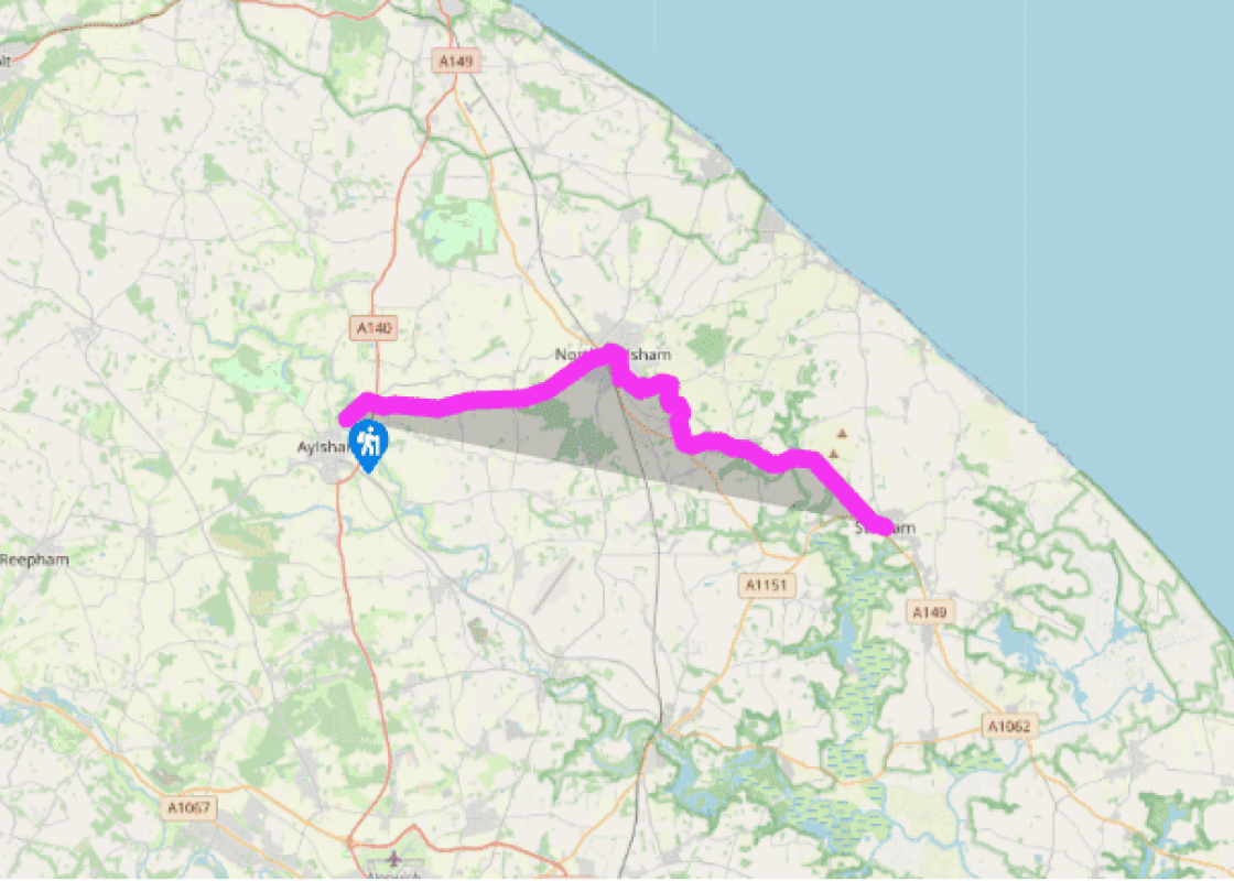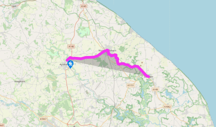
Weavers Way: Aylsham to Stalham
From the start point, the Weavers’ Way makes use of minor roads (well waymarked) in order to skirt the north side of Aylsham and cross the A140, after which it settles down for a spell along the dismantled railway line which used to run between King’s Lynn and Great Yarmouth (opened in 1883 and closed in 1959). This is easy walking, if not the most exciting part of the route, and many different varieties of plants, shrubs and trees can be seen along here.
The cutting before the road leading to Felmingham is a butterfly nature reserve and it is quite likely, too, that there may be an adder or two basking in the sun here (they are quite harmless unless interfered with). This whole section of the route can become extremely hot in fine summer weather.

Been on this walk?
Send us photos or a comment about this route. Or recommend a route of your own.

Walking in Safety
Read our tips to look after yourself and the environment when following this walk.

Get an AA guide
Explore our range of ‘50 Walks in’ guides - they’re the ideal companion for a ramble.
Been on this walk?
Send us photos or a comment about this route. Or recommend a route of your own.
Walking in Safety
Read our tips to look after yourself and the environment when following this walk.
Get an AA guide
Explore our range of ‘50 Walks in’ guides - they’re the ideal companion for a ramble.
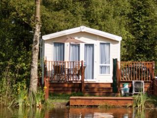
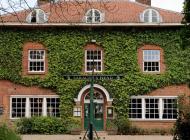
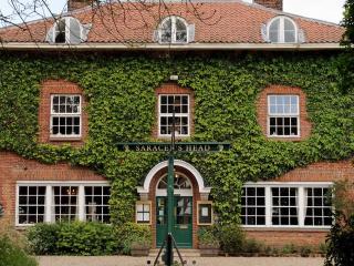
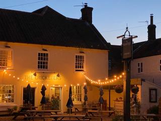
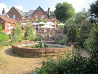
Nearby places to stay
View all (8)