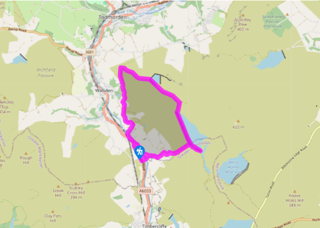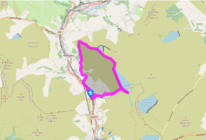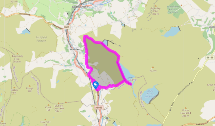
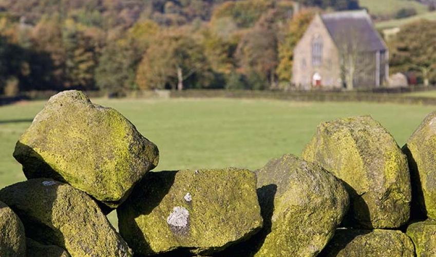
Warland and along Salter Rake
Walk southeast along the road for 300yds (274m) to take a track on the left past cottages, Warland Gate End. Cross the Rochdale Canal on a swing bridge and follow the track over a stream to zig-zag steeply up the hill. Where the track later forks, keep right through an ornamental gate towards Calflee House. Turn right when you reach a T-junction. Approaching the house, go through a second gate and swing left on a track that leads up to another house. Pass around the back of the building to find a field gate and continue across the open moor on a rising rough track. As you approach the retaining embankment of Warland Reservoir, follow the track to the right, which slants upwards to reach the reservoir.
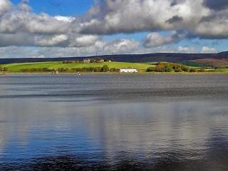
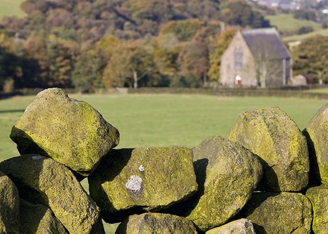
Double back left along the top of the dam, from which there are terrific views over Calderdale and East Lancashire. Cross a bridge at the northern end of the reservoir, and keep on the track as it follows a drainage channel.

Been on this walk?
Send us photos or a comment about this route. Or recommend a route of your own.

Walking in Safety
Read our tips to look after yourself and the environment when following this walk.

Get an AA guide
Explore our range of ‘50 Walks in’ guides - they’re the ideal companion for a ramble.
Been on this walk?
Send us photos or a comment about this route. Or recommend a route of your own.
Walking in Safety
Read our tips to look after yourself and the environment when following this walk.
Get an AA guide
Explore our range of ‘50 Walks in’ guides - they’re the ideal companion for a ramble.

Nearby places to stay
View all (8)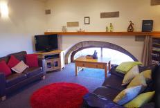

- Total units: 1
- Washing machine
- Sky or freeview
- Linens provided