On Salisbury Plain
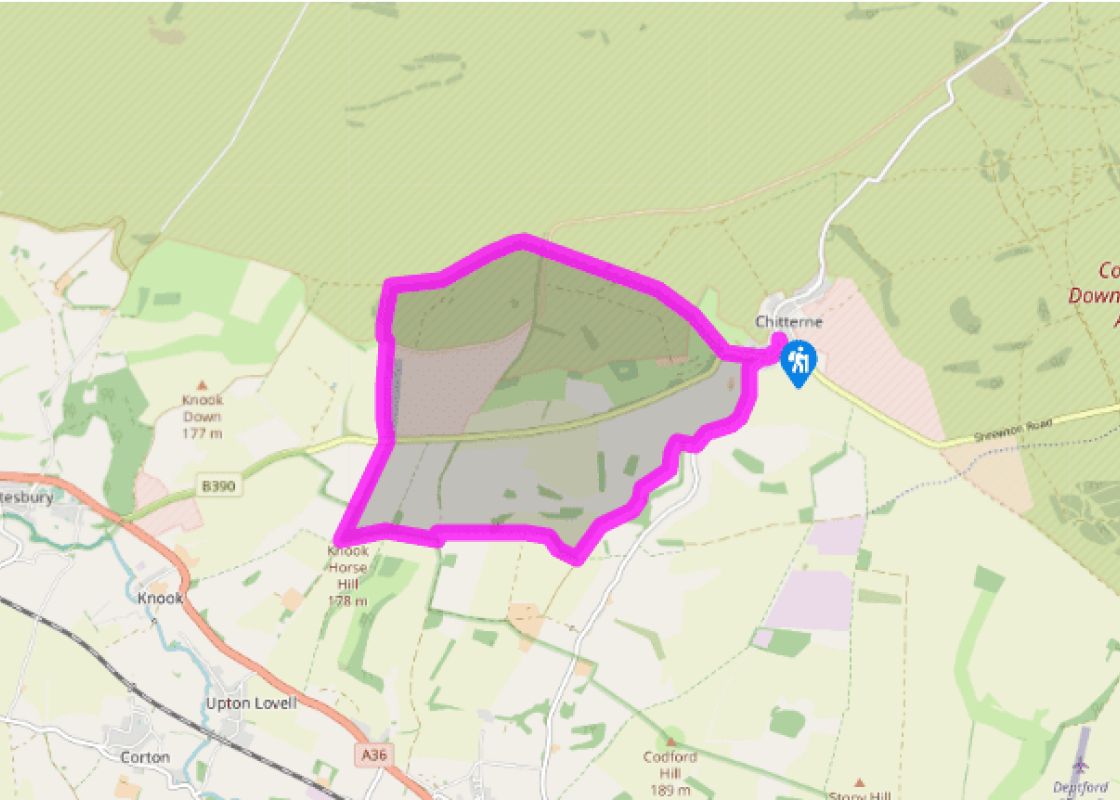
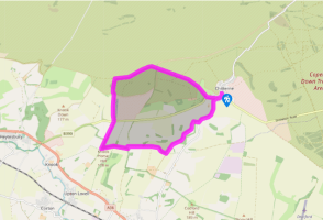
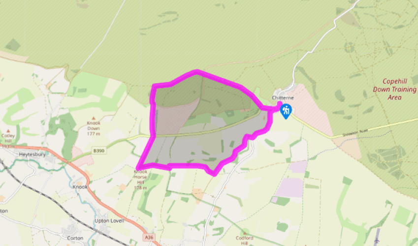
From the parking area turn left to the T-junction. Keep right, signposted Warminster and Codford, pass the Kings Head and continue along the main road through the village. When the road bends left veer right to join a byway (Imber Range Perimeter Path).
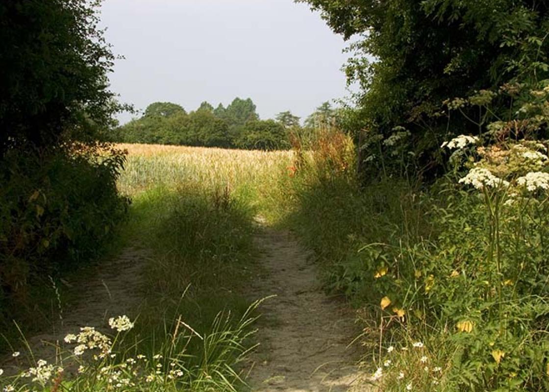
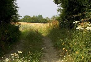
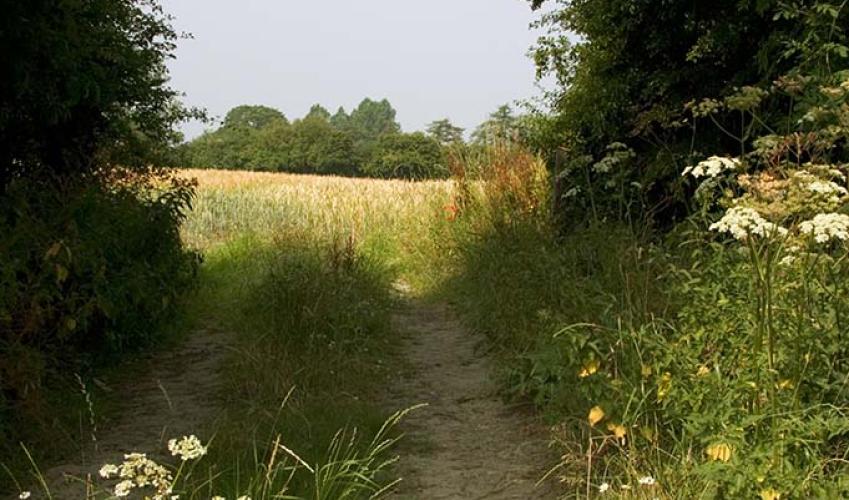
Follow the sunken track between trees and further up they give way to open downland. Cross a track and keep ahead to a copse. On reaching the Military Road continue on the Imber Range Perimeter Path. After about 200yds (183m), bear left at the fence corner and continue on the byway. Avoid a turning down to a small copse enclosing farm outbuildings and head up the slope to the next junction.
Turn left, heading south on a byway, and re-cross the Military Road at a staggered junction. Continue south on the byway, passing barns on the left. Cross the B390 road and follow the byway as it climbs steadily alongside woodland on the left. Pass a corrugated barn on the right and after about 120yds (110m) swing left through a metal gate by a cattle grid.
Follow the byway with trees and the outline of Upton Great Barrow on the left. On reaching a cattle grid and track junction keep ahead on the byway to the next gate and cattle grid. Turn left, then right after about 75yds (69m) to follow a bridleway. Across the field go through several gates and maintain direction, heading towards trees and keeping fencing on your left. Follow the path as it bends right in the field corner and drop down to a metal gate. Pass through it and follow the field-edge downhill to a concrete track.
Turn left, where the bridleway runs straight on, and follow the track to where it curves left by a gate. Keep over to the right and follow the field boundary. Make for a gate on the far side of the field and enter the next pasture. Follow the right-hand edge all the way to a stile on the right.
Cross it and keep right to a footbridge in the field corner. The bridge has stiles either end of it. Cross them and continue along the field edge for a short distance to the next stile. Cross it to the road and turn left, back to Chitterne. At the junction near the Kings Head, turn right and return to the church and parking area.
Been on this walk?
Send us photos or a comment about this route. Or recommend a route of your own.
Walking in Safety
Read our tips to look after yourself and the environment when following this walk.
Get an AA guide
Explore our range of ‘50 Walks in’ guides - they’re the ideal companion for a ramble.
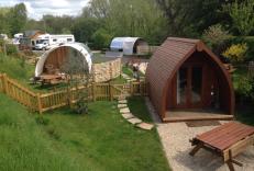
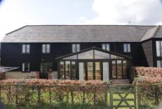
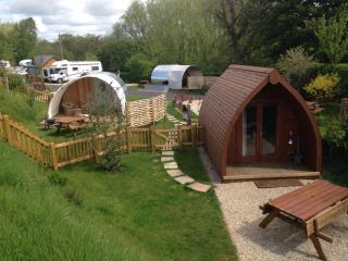
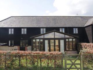
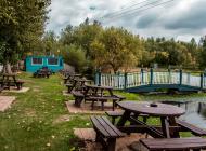
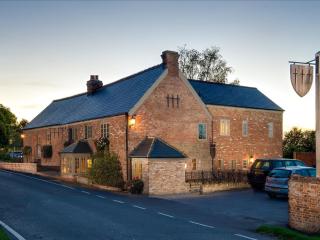
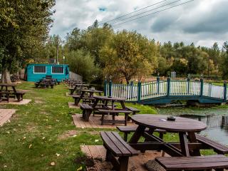
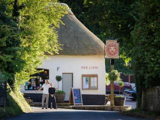
Nearby places to stay
View all (8)
- Launderette
- Ice pack facility
- BBQ
- Picnic Area
- Total units: 2
- Rooms 9
- Satellite TV
- Free TV
- Wifi


