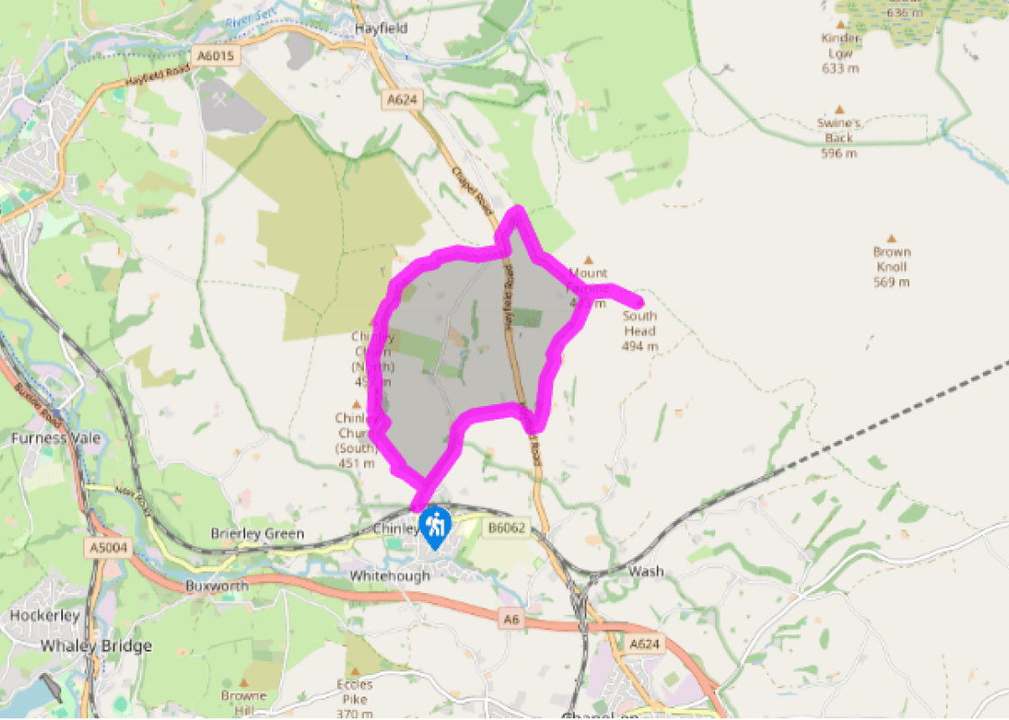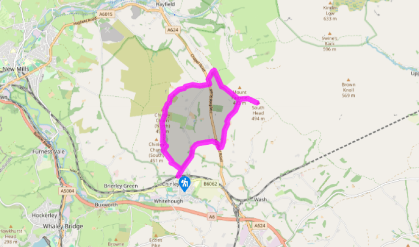
Cracken Edge and South Head
Recommended by

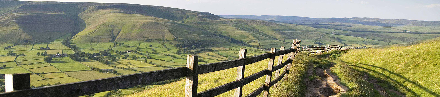
"Views of Kinder Scout and the Peep O Day"
Walk directions
From the war memorial by the railway bridge, walk up Maynestone Road. After 200yds (183m), take a waymarked path on the left. Cross a stile and climb directly uphill, then diagonally left by gorse to the top left field corner. Turn right on to a vehicle track, then fork left at a junction and past a cattle grid. Where the track bends left towards buildings, continue straight ahead on a grassy path. Pass a cottage, then roughly follow the left wall in the next field. A narrow eroding track then leads steeply uphill through gorse.
On leveller ground, turn right on to a wider track through ancient quarry workings. About 100yds (91m) before a fence, fork left to zigzag up the hillside through higher workings. Turn right below the edge-top to a stile. For the best views, head left along the fenceline to the top of the edge then bear right carefully along a faint crag-edge path. Bend right with the edge to descend a gentle ramp to rejoin the lower path. Otherwise continue on the path ahead, weaving through the spoil heaps below the crags.
View all directions
Additional information
Terrain
- Field paths, quarry and farm tracks, sandy and eroded around quarry, several stiles
Landscape
- Hill pastures, long-abandoned quarry and moorland
Dog friendliness
- Dogs should be kept on lead.
Parking
- Roadside parking at start near war memorial
Toilets en route
- None on route
About the walk
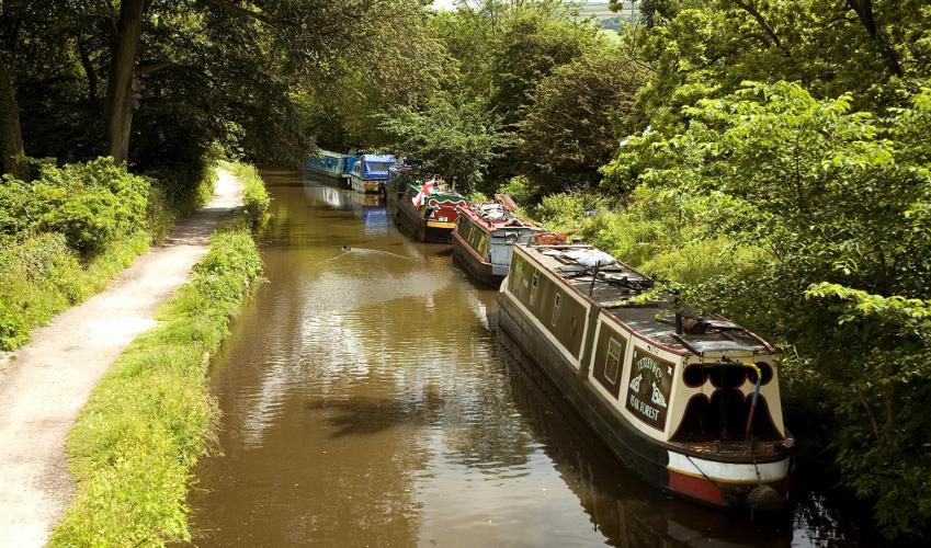
The best base for exploring both of these hills is Chinley. Two sweeping curved viaducts that span the valley high above the town’s rooftops are a reminder that this was once an important railway town: a junction for Sheffield, Manchester and Derby trains. The Reverend Henry Thorald called the...
Read more

Been on this walk?
Send us photos or a comment about this route. Or recommend a route of your own.

Walking in Safety
Read our tips to look after yourself and the environment when following this walk.

Get an AA guide
Explore our range of ‘50 Walks in’ guides - they’re the ideal companion for a ramble.
Been on this walk?
Send us photos or a comment about this route. Or recommend a route of your own.
Walking in Safety
Read our tips to look after yourself and the environment when following this walk.
Get an AA guide
Explore our range of ‘50 Walks in’ guides - they’re the ideal companion for a ramble.
About the area
The natural features of this central English county range from the modest heights of the Peak District National Park, where Kinder Scout stands at 2,088 ft (636 m), to the depths of its remarkable underground caverns, floodlit to reveal exquisite Blue John stone. Walkers and cyclists will enjoy the High Peak Trail which extends from the Derwent Valley to the limestone plateau near Buxton, and for many, the spectacular scenery is what draws them to the area.
Nearby places to stay
View all (8)Lowes Mill Cottages at Torr Vale Mill
- Total units: 4
- Lawn area
- Garden furniture
- Dish washer


Nearby places to stay
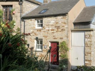
Lowes Mill Cottages at Torr Vale Mill
The four historic cottages are converted outbuildings of the Grade II* listed Torr Vale Mill, which was England’s longest continuously working mill, from 1785 to 2000. Set in a deep val...
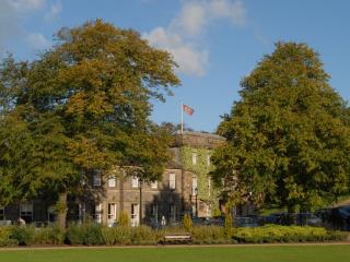
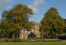
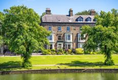
Old Hall Hotel
The Old Hall Hotel in Buxton is reputed to be the oldest in England, with a rich history that dates back thousands of years and features some notable guests, including Mary Queen of Sco...
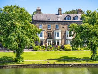
Roseleigh Guest House
This elegant property has a prime location overlooking Pavilion Gardens, and the quality decor highlights its many original features. The thoughtfully designed bedrooms are adorned with...
5 Church Street
Deceptively spacious and light, 5 Church Street is a contemporary re-making of a former cottage on one of Buxton’s oldest streets. It combines traditional character with all the facilit...
5 Church Street
Deceptively spacious and light, 5 Church Street is a contemporary re-making of a former cottage on one of Buxton’s oldest streets. It combines traditional character with all the facilit...
Braemar
Braemar is a long-established, central yet quietly situated Victorian property offering homely and comfortable accommodation. It’s within easy walking distance of the historic towns man...
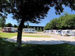
Lime Tree Park
A very attractive and well-designed site set on the side of a narrow valley in an elevated location, featuring separate, neatly landscaped areas for static caravans, tents, touring cara...

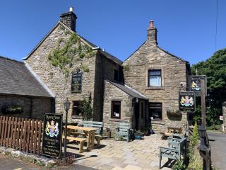
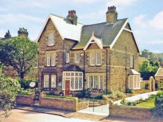
Ye Olde Nags Head
In the village centre, this 17th-century coaching inn has furnished its bedrooms, some with four-posters, all with antiques. Days out in the High Peak, especially for walkers and cyclis...
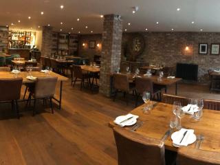
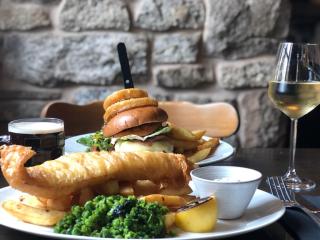
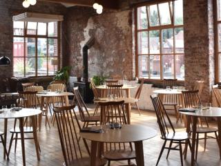
Places to eat nearby View all