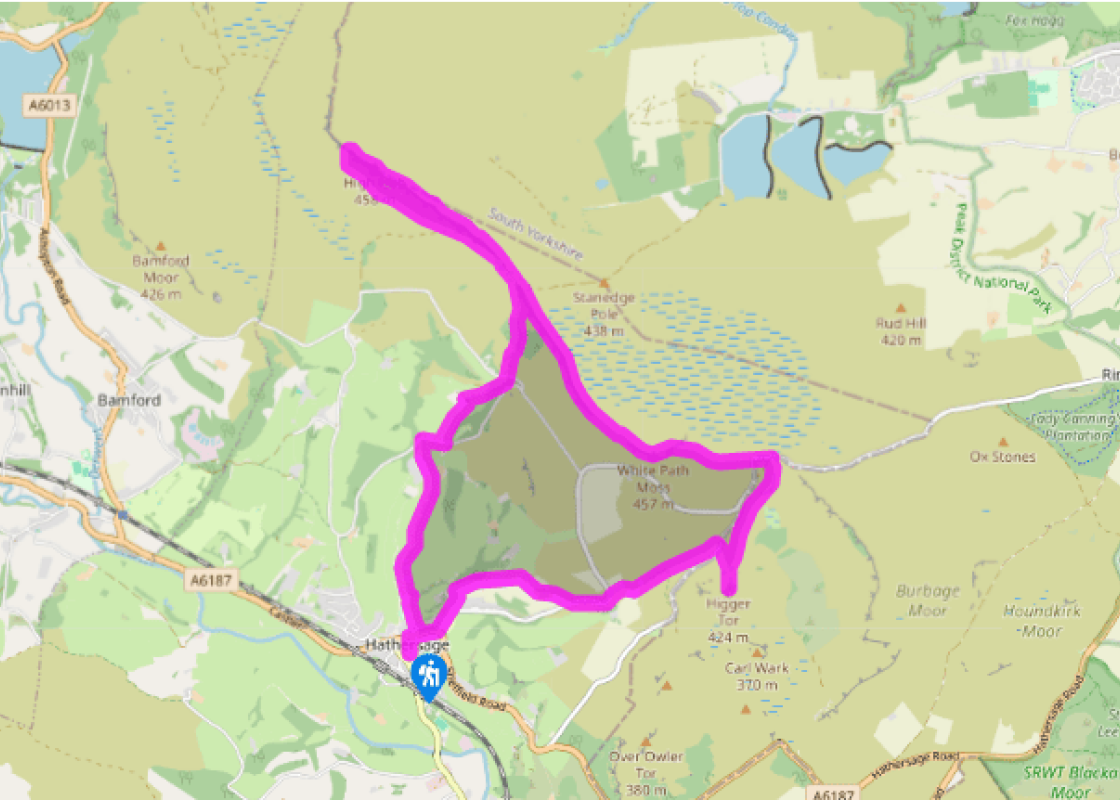
Hathersage to Stanage
Recommended by

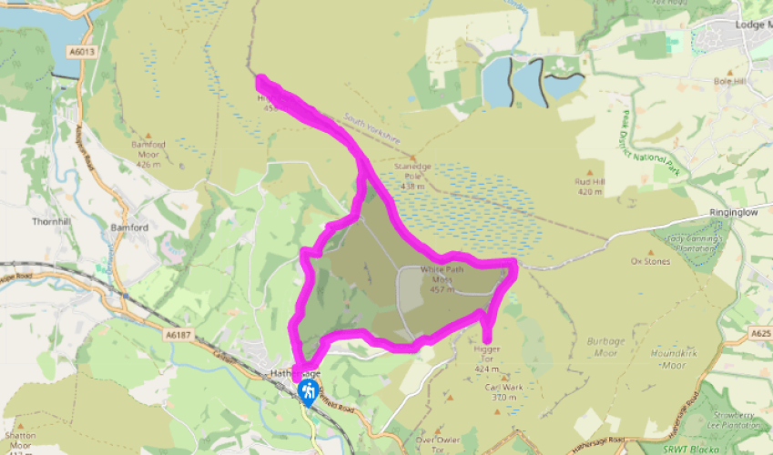
Walk directions
Leave the bottom of the car park along a path leading to Main Street. Turn right, then left into Baulk Lane. On leaving town, it degrades to a track before winding away between open fields.
After 0.75 miles (1.2km), at a fork near Cowclose Farm, bear left to a gate. Skirt Brookfield Manor to emerge on a tarmac lane (Birley Lane). Go right, but leave after 200yds (183m) along a track on the left. Pass around North Lees Hall, then turn right up steps to another track. Follow it across a meadow into a wood. Towards the top, a path branches left up steps to a tarmac lane near toilets.
View all directions
Additional information
Terrain
- Well-defined paths and tracks, several stiles
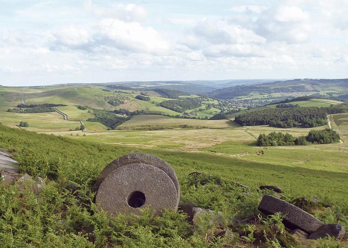
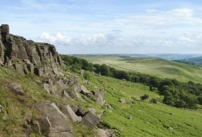
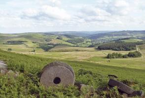
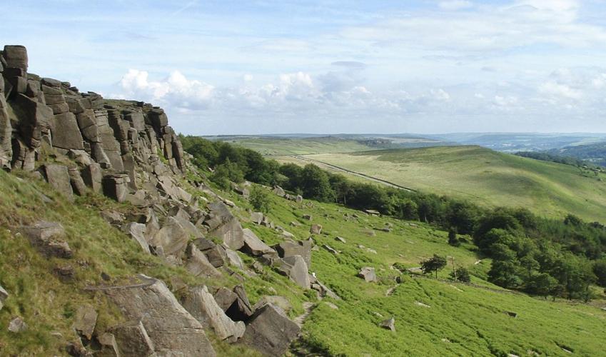
Landscape
- Gritstone and heather moorland
Dog friendliness
- Dogs are banned from northwestern part of Stanage Edge (beyond High Neb) due to nesting birds; elsewhere keep on lead
Parking
- Pay car park, Oddfellows Road, Hathersage
Toilets en route
- Main road, Hathersage, and on lane above North Lees
About the walk
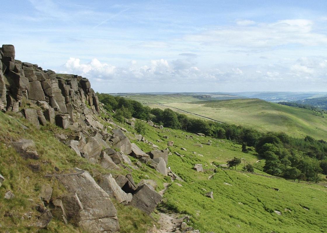
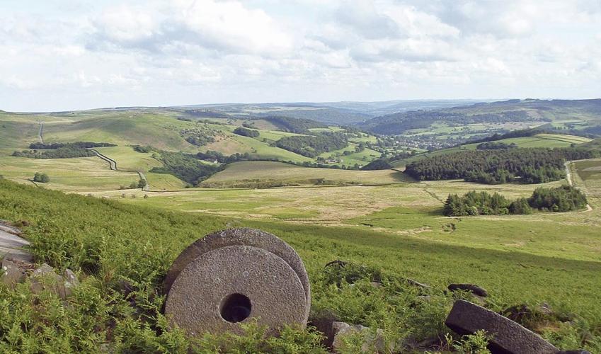
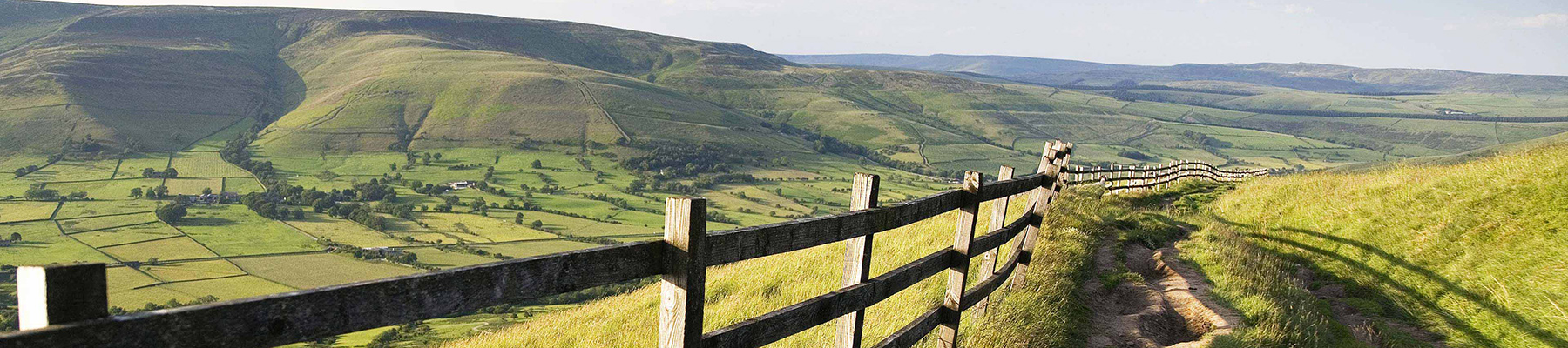
From Moscar, to Baslow a line of dark cliffs caps the heather moors east of the Derwent Valley. Writer Daniel Defoe called it a vast extended moor or waste in which strangers would be obliged to take guides or lose their way. Later, Charlotte Brontë visited Hathersage when staying with her friend...
Read more

Been on this walk?
Send us photos or a comment about this route. Or recommend a route of your own.

Walking in Safety
Read our tips to look after yourself and the environment when following this walk.

Get an AA guide
Explore our range of ‘50 Walks in’ guides - they’re the ideal companion for a ramble.
Been on this walk?
Send us photos or a comment about this route. Or recommend a route of your own.
Walking in Safety
Read our tips to look after yourself and the environment when following this walk.
Get an AA guide
Explore our range of ‘50 Walks in’ guides - they’re the ideal companion for a ramble.
About the area
The natural features of this central English county range from the modest heights of the Peak District National Park, where Kinder Scout stands at 2,088 ft (636 m), to the depths of its remarkable underground caverns, floodlit to reveal exquisite Blue John stone. Walkers and cyclists will enjoy the High Peak Trail which extends from the Derwent Valley to the limestone plateau near Buxton, and for many, the spectacular scenery is what draws them to the area.
Nearby places to stay
View all (8)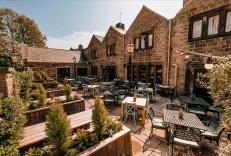


Nearby places to stay
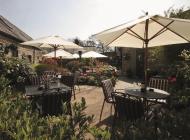
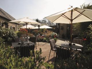
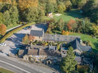
The George in Hathersage
Nestled in the heart of the picturesque Peak District, The George Hathersage is a historic 500-year-old coaching inn, once frequented by Charlotte Brontë. The inn features 24 beautifull...
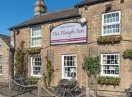
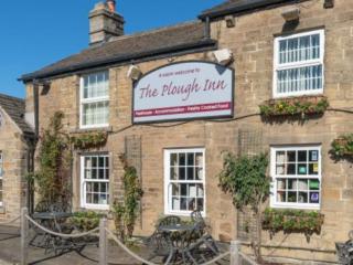
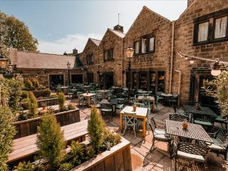
The Plough Inn
This delightful 16th-century inn with a newly revamped beer garden, which includes a "Horsebox Bar" has an idyllic location by the River Derwent. A selection of real ales and award-winn...
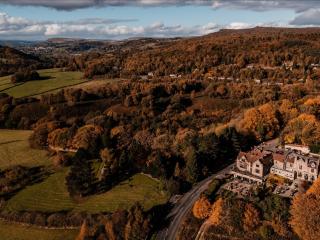
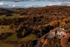
The Maynard
Set in the heart of the Peak District, The Maynard is a beautiful countryside hotel, bar and restaurant offering a perfect blend of comfort, style, and culinary excellence. Famous for h...
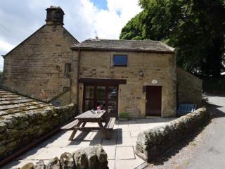
The Trap House
A mile from this cosy hideaway is Eyam, where in 1665 over 250 villagers died from the plague, following the use of contaminated cloth. No risk today, of course, but you can read all ab...
The Trap House
A mile from this cosy hideaway is Eyam, where in 1665 over 250 villagers died from the plague, following the use of contaminated cloth. No risk today, of course, but you can read all ab...
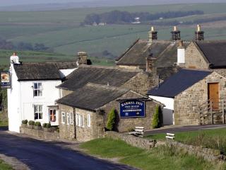
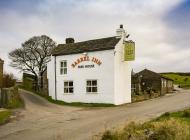
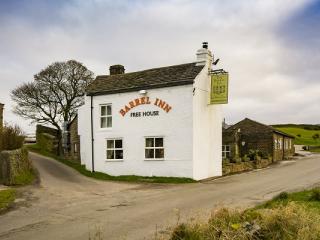
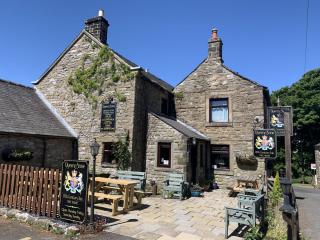
Barrel Inn
Perched some 1,300 feet above sea level and reputedly the highest pub in Derbyshire, the Barrel Inn dates back to 1597 and offers a warm, welcoming base for exploring the surrounding co...
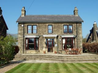
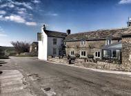
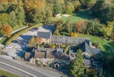
Thorndene B&B
Thorndene B&B has 3 comfortable, spacious ensuite rooms, guest lounge/breakfast room, off-road parking and a secure bicycle lock-up. For breakfast, Thorndene B&B uses local produce and...
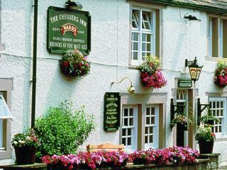
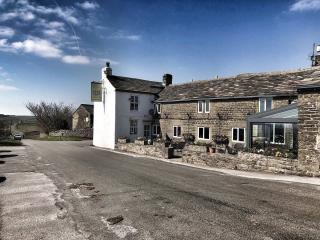
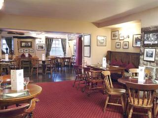
The Chequers Inn
The Chequers Inn is a charming 16th-century inn, offering seven well-appointed guest rooms nestled beneath the iconic Froggatt Edge in the heart of the Derbyshire countryside. Hearty, s...
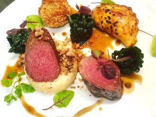
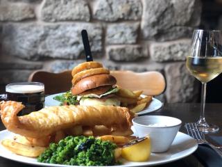
Places to eat nearby View all