Around Condicote
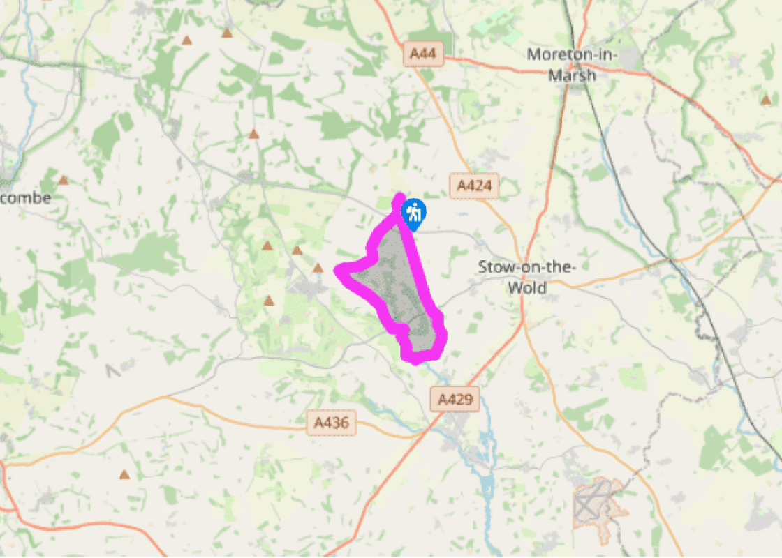
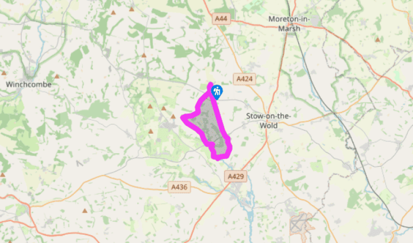
From Condicote village green, with your back to the church, take the road south out of the village. Beyond the houses of Condicote bend left where a footpath leads straight on at a gate and follow the lane to a junction. Go straight ahead onto a track at a sign ‘Unsuitable for Motors’ and follow what is in effect all that remains of Ryknild Street. As you might expect, the route is clear – follow this track for just under 2 miles (3.2km) to the B4068, crossing two roads by further ‘Unsuitable for Motors’ signs.
The views are good from this stretch, with distant glimpses of Cotswold hills, combes and farmland, and either side of the track is a landscape divided by fields and dotted with woodland. The section after the B4068 is a surfaced road, which will bring you to a T-junction. Cross to a gate and stile, and then cross a field to a stile. In the next field, curve right to a stile at the edge of woodland. Cross an estate road to follow a woodland path across a staggered junction to a kissing gate at the edge of a field. Curve left to follow a fence down the field to a gate in the bottom corner.

Been on this walk?
Send us photos or a comment about this route. Or recommend a route of your own.

Walking in Safety
Read our tips to look after yourself and the environment when following this walk.

Get an AA guide
Explore our range of ‘50 Walks in’ guides - they’re the ideal companion for a ramble.
Been on this walk?
Send us photos or a comment about this route. Or recommend a route of your own.
Walking in Safety
Read our tips to look after yourself and the environment when following this walk.
Get an AA guide
Explore our range of ‘50 Walks in’ guides - they’re the ideal companion for a ramble.
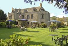
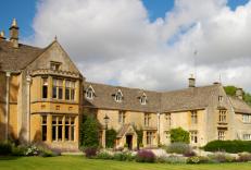
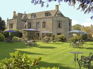
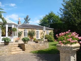
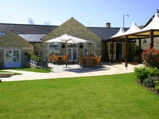
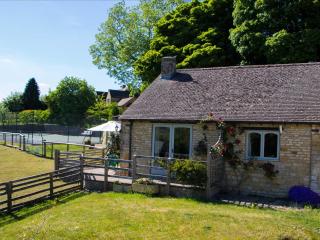
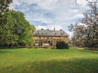
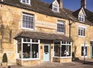
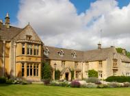
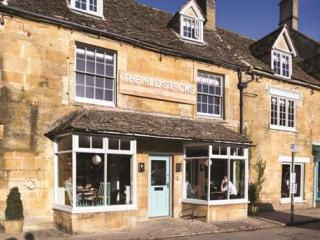
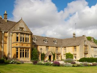
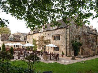
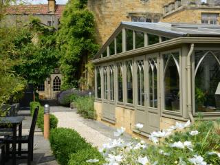
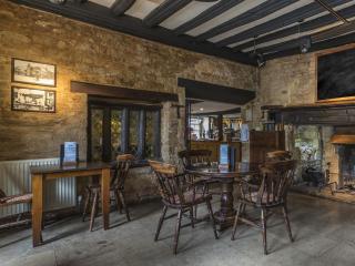
Nearby places to stay
View all (8)