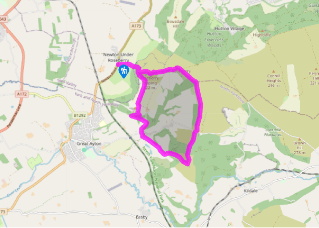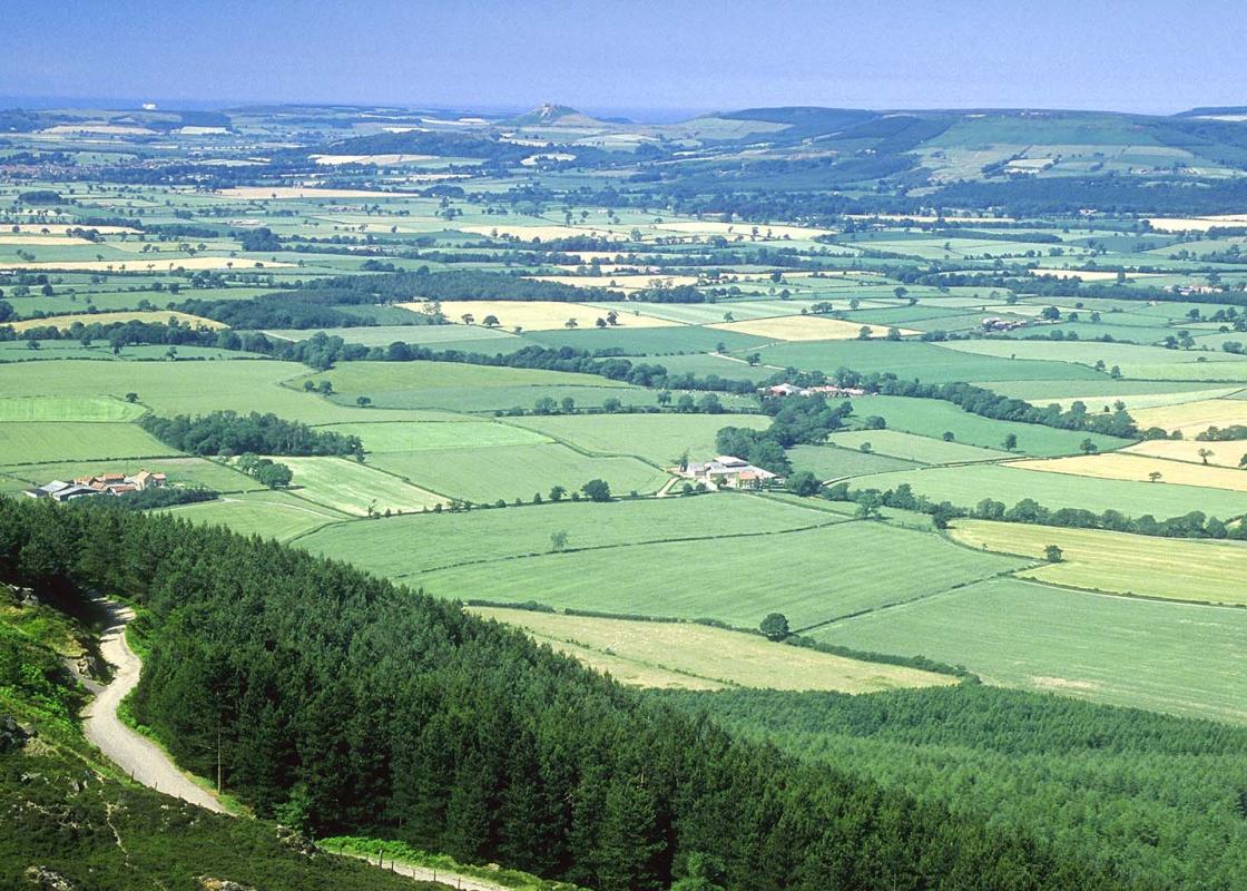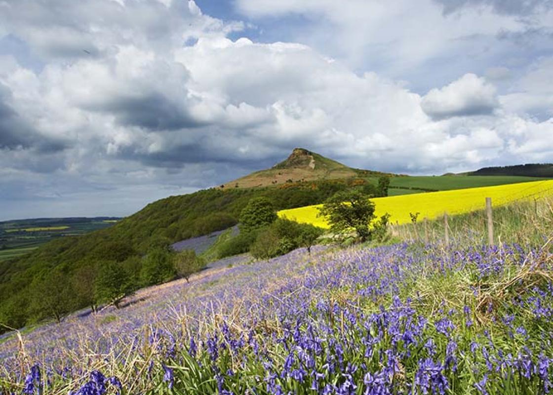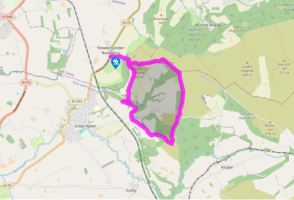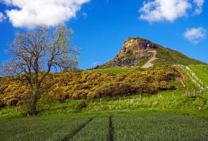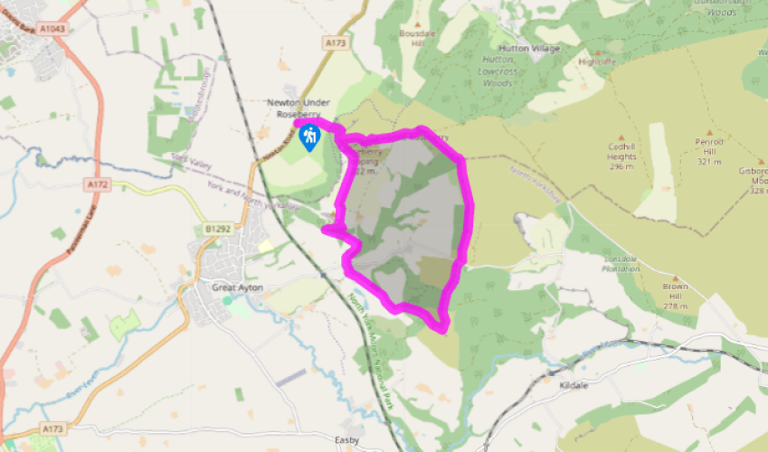
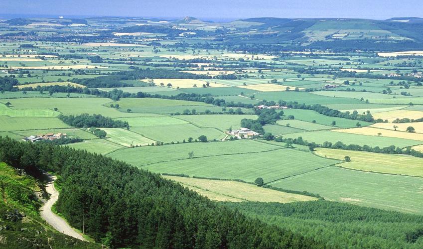

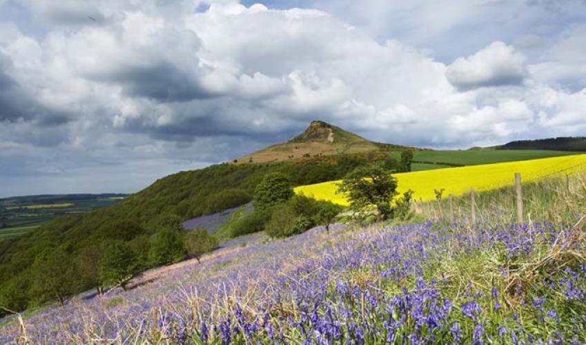
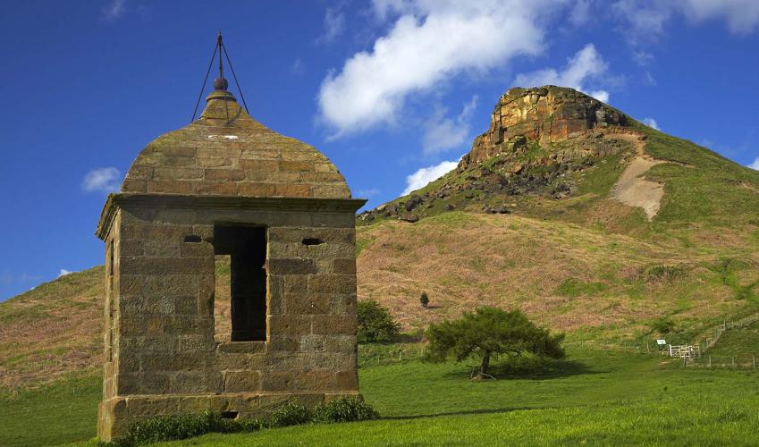
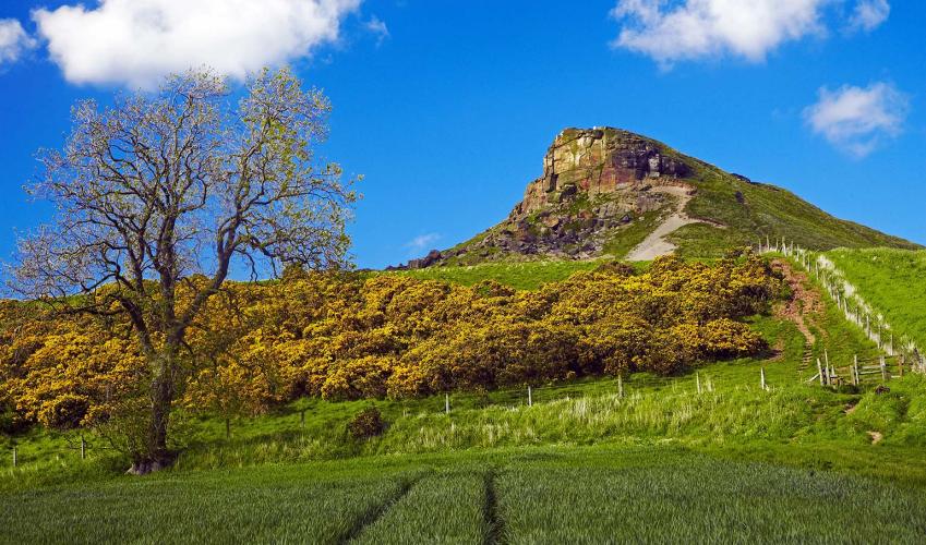
Roseberry Topping
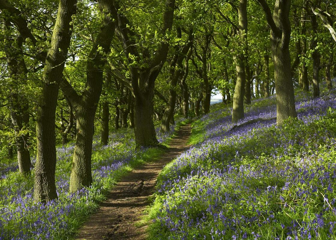
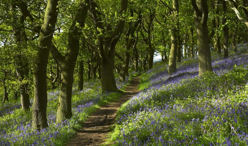
Take the rough lane beside the car park towards Roseberry Topping. The path goes through a gateway then rises to a second gate at the beginning of the woodland.
Go through the gate into National Trust Land and continue ahead, up the large steps. There is a well-worn, mostly paved, path to the summit. It is a stiff climb to the trig point on the top of the hill.

Been on this walk?
Send us photos or a comment about this route. Or recommend a route of your own.

Walking in Safety
Read our tips to look after yourself and the environment when following this walk.

Get an AA guide
Explore our range of ‘50 Walks in’ guides - they’re the ideal companion for a ramble.
Been on this walk?
Send us photos or a comment about this route. Or recommend a route of your own.
Walking in Safety
Read our tips to look after yourself and the environment when following this walk.
Get an AA guide
Explore our range of ‘50 Walks in’ guides - they’re the ideal companion for a ramble.
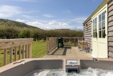
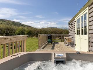
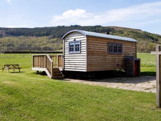
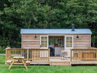
Nearby places to stay
View all (8)