Additional information
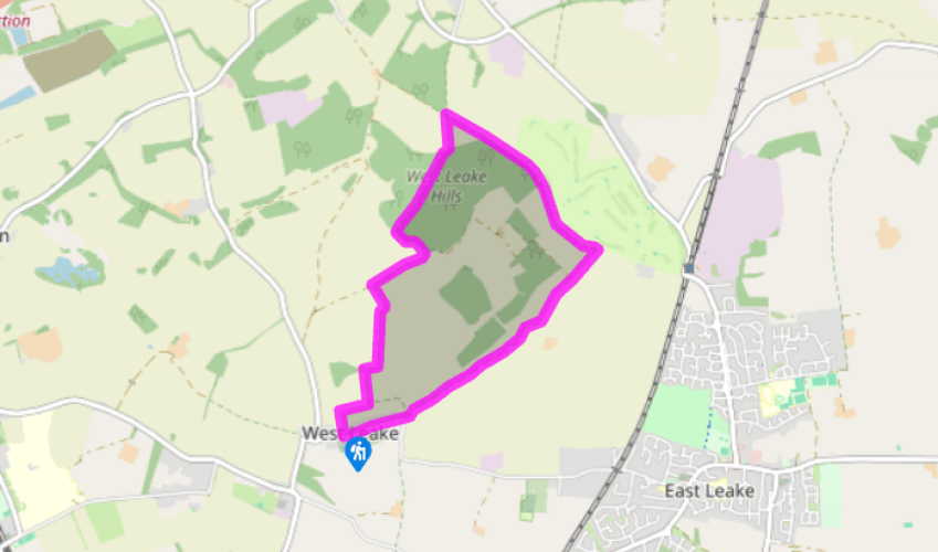
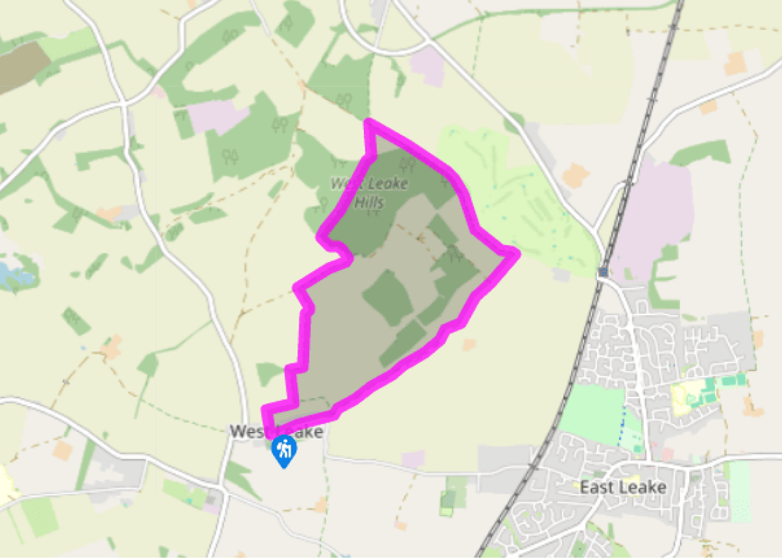
Terrain
- Field-edge paths, farm lanes and forest tracks, several stiles
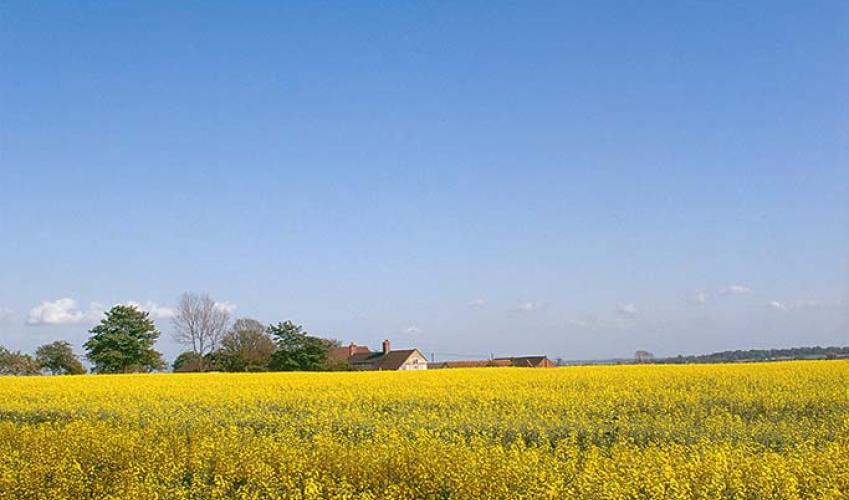
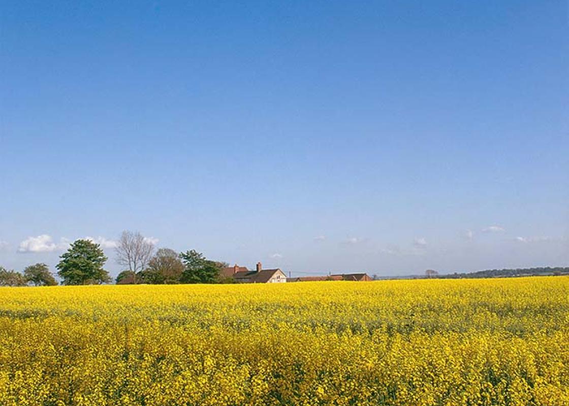
Landscape
- Wooded ridge of hills surrounded by open arable land
Dog friendliness
- Generally good on woodland tracks and wide farm lanes
Parking
- Roadside parking near West Leake church
Toilets en route
- None on route (nearest in East Leake)
About the walk
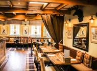
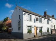
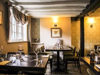
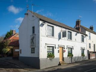
The villages of East and West Leake, located near Nottinghamshire's border with Leicestershire, were recorded in the Domesday Book as 'Leche'. The name comes from the Anglo-Saxon word meaning 'watermeadow', since both lie on Kingston Brook, a tributary of the River Soar. Although the Church of St... Helena in West Leake has medieval origins, it has been extensively modernised, and includes a tiny bellcote (with two bells) rather than the usual spire or squat tower. In the churchyard you will find a 'living willow seat', which, as its name suggests, is a wooden bench with a back made of live willow. Completely cuckoo? North of the West Leake Hills is the village of Gotham (pronounced 'Goatem'), and in medieval times a group of purported lunatics lived in the woods near by. Today, near Leake New Wood, the names of Cuckoo Bush Farm and Cuckoo Bush Wood record their strange antics, for according to folklore the so-called Gotham Fools tried to hedge-in a cuckoo so it would sing to them all year (it flew off, of course). They also burned down a forge to rid it of a wasps' nest, and tried to drown fish in buckets. Their bizarre activities were later detailed in a book entitled The Merrie Tales of the Mad Men of Gottam (1630) and developed into something of a folk story, so that 'cuckoo pens' became a joke name given to small hillside crofts or enclosures. The book describes the events at Gotham: 'On a time the men of Gottam would have pinned in the Cuckoo, whereby shee should sing all the yeere, and in the midst of the town they made a hedge round in compasse, and they had got a Cuckoo, and had her put into it, and said, Sing here all the yeere, and thou shalt lacke neither meat nor drinke. The Cuckoo as soon as she perceived her self incompassed within the hedge, flew away. A vengeance on her said they, We made not our hedge high enough.' However, their apparent madness was not quite what it seemed, for according to local sources it was a deliberate ruse to deter the visiting emissaries of King John, who wanted to build a royal hunting lodge on their village land. They reasoned that the King would want nothing to do with a community of lunatics, but whether this was true or just an attempt at face-saving has been lost to time. Gotham is still remembered for its madmen, and the village pub is even called the Cuckoo Bush. As an old nursery rhyme goes: 'Three wise men of Gotham Went to sea in a bowl. If the bowl had been stronger My story would have been longer.'
Read more
Nottinghamshire
Most people associate Nottinghamshire in the East Midlands with the legend of Robin Hood, though the former royal hunting ground of Sherwood Forest has been somewhat tamed since Robin’s outlaw days. Traditionally, the county’s primary industry, alongside agriculture, was coal mining but it is also an oil producing area, and during World War II produced the only oil out of reach of the German U-Boats.