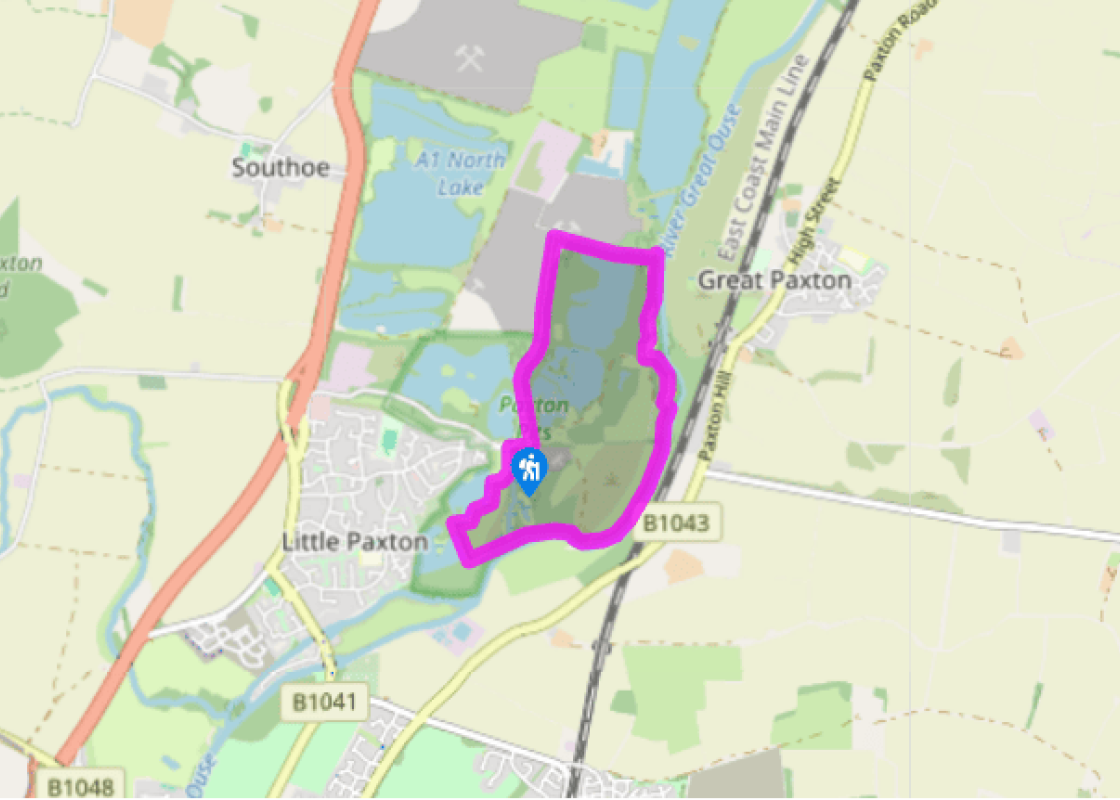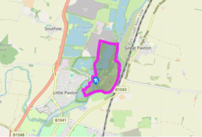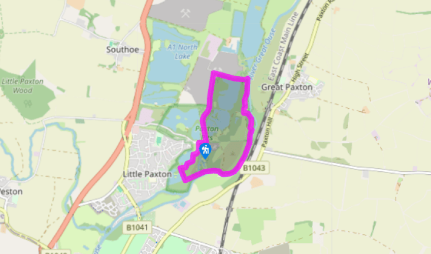
Paxton Pits
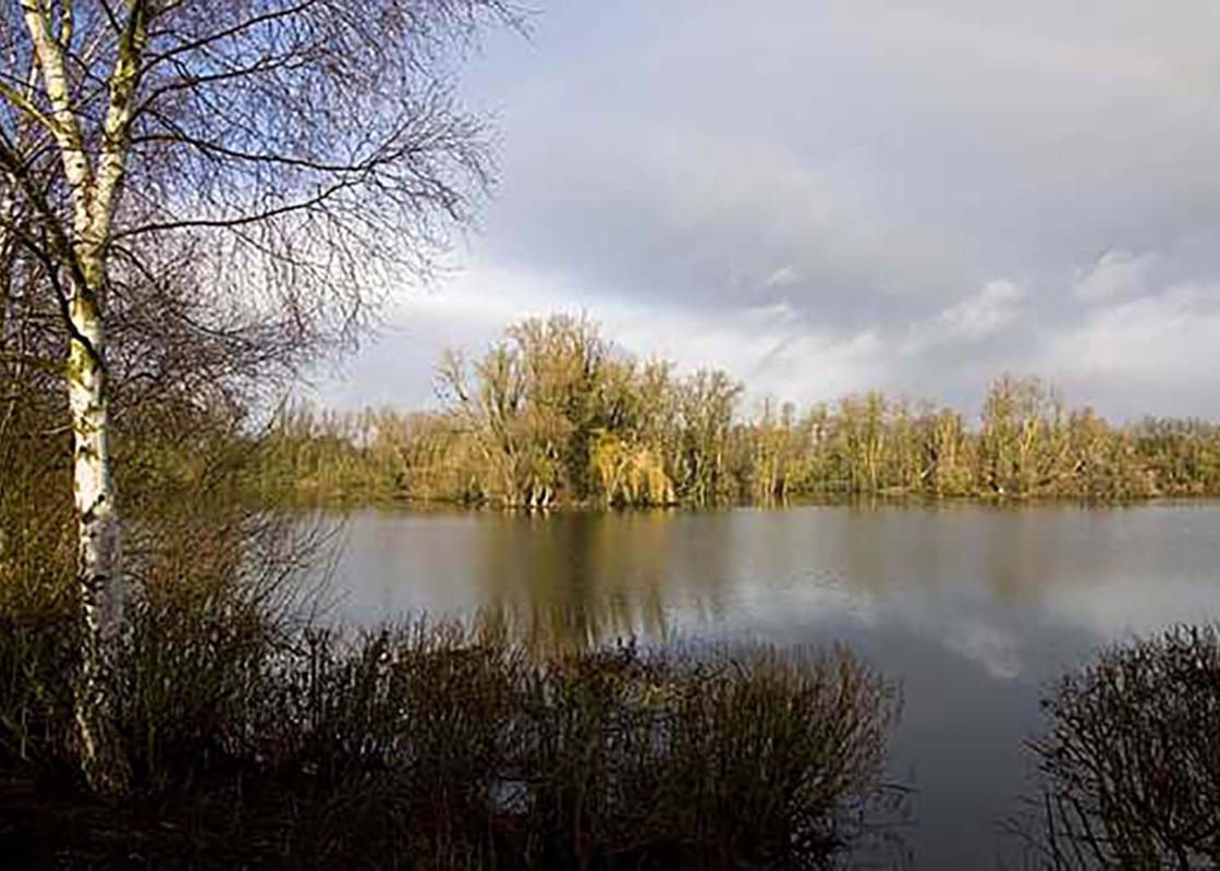
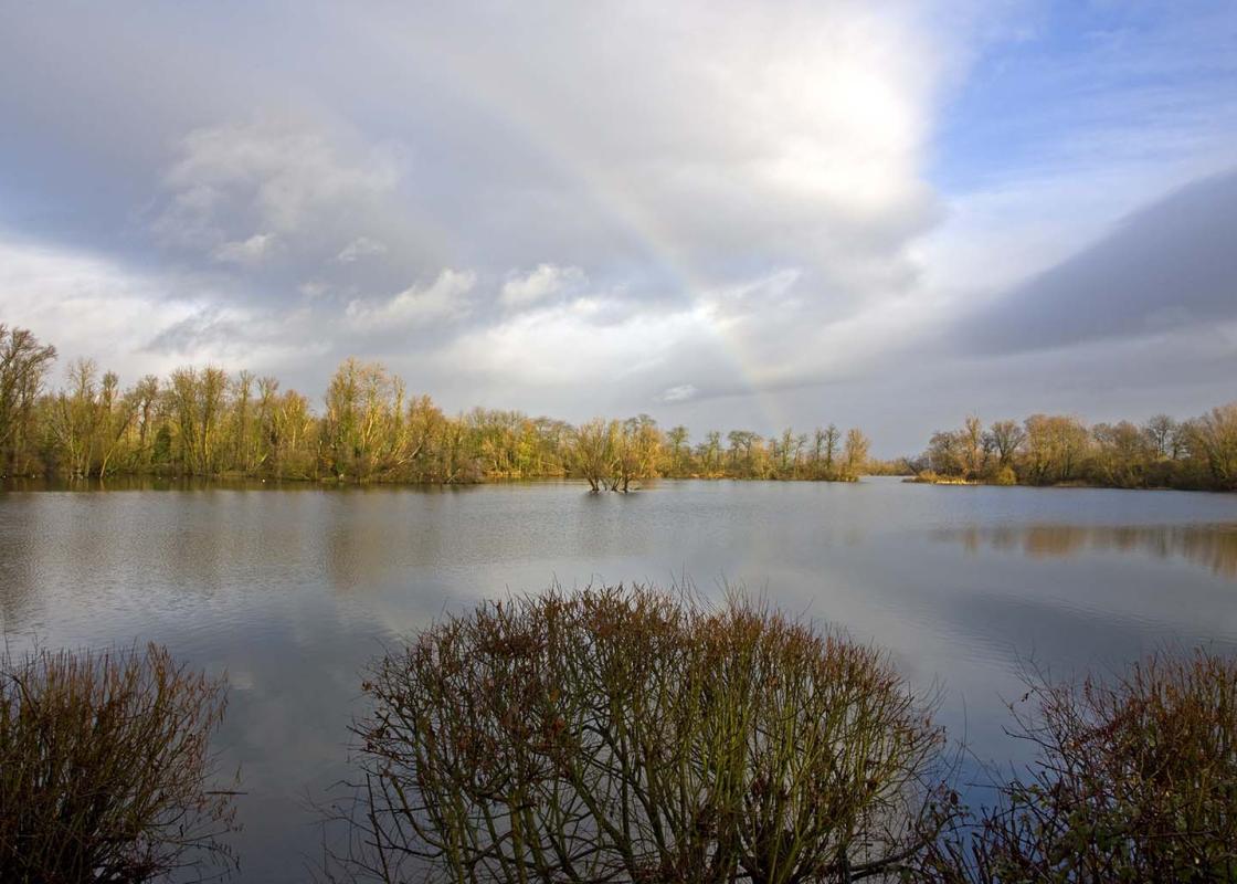
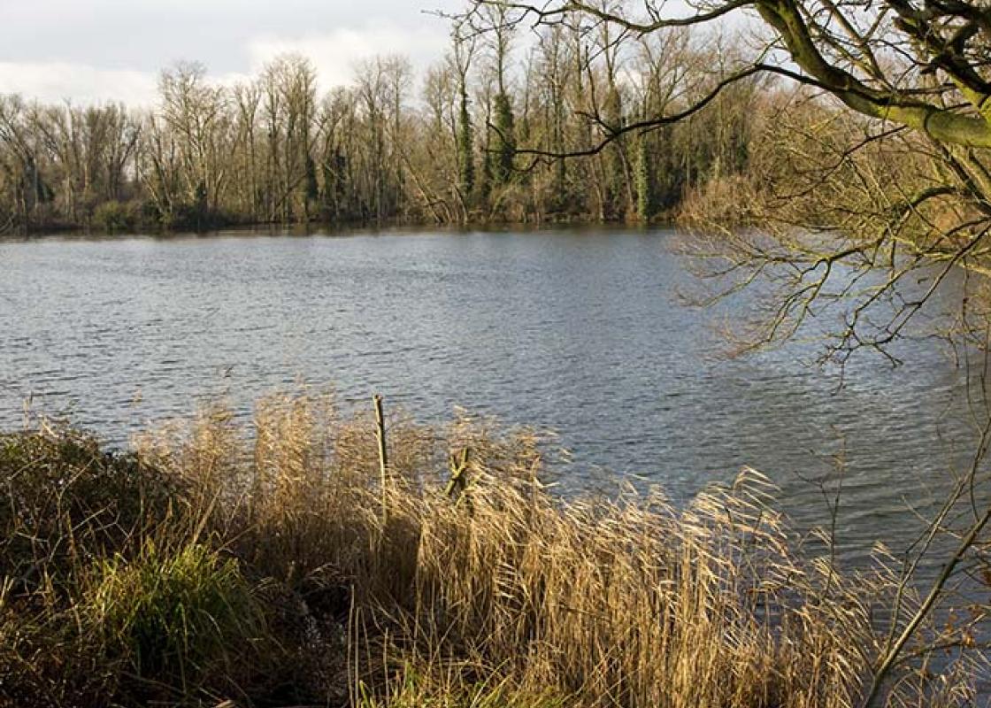
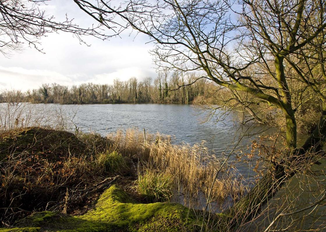
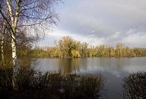
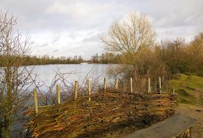
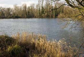
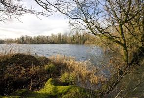
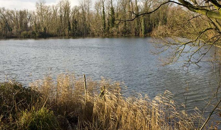
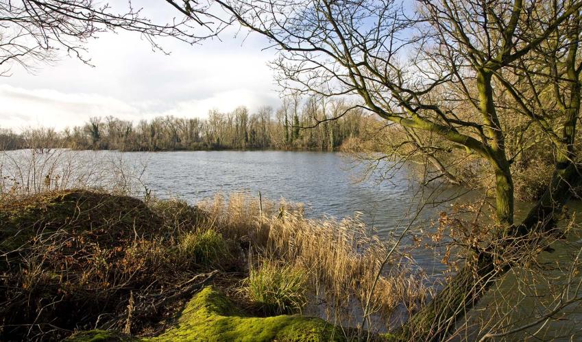
Take the gated path to the immediate left of the visitors’ centre, indicated ‘Meadow Trail’, and follow this wandering route past Rudd and Cloudy Lakes, small reed-lined pits filled with water lilies and bulrushes (also known as reed mace). Stick to the waymarked route and at the far end go up the steps or ramp and turn left on to a straight, tree-lined track, now also signposted ‘River Trail’. Soon Hayling Lake appears through the undergrowth on the right.
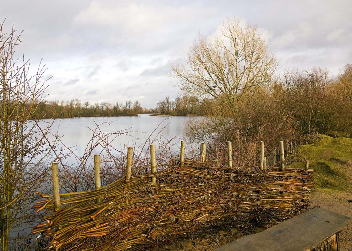
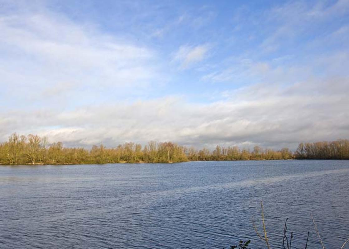
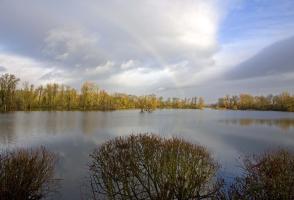
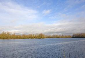
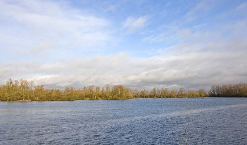
At the junction at the far end turn left and follow the River Trail beside the Great Ouse. The path sticks closely to the riverbank with reed-lined lakes visible through the undergrowth on your left and open farmland and meadows glimpsed across the river to the right. Where the tracks bends sharply left go right at a junction, signposted ‘River Trail’ and ‘Ouse Valley Way’, on to a wide grassy path beside a fence and the river.

Been on this walk?
Send us photos or a comment about this route. Or recommend a route of your own.

Walking in Safety
Read our tips to look after yourself and the environment when following this walk.

Get an AA guide
Explore our range of ‘50 Walks in’ guides - they’re the ideal companion for a ramble.
Been on this walk?
Send us photos or a comment about this route. Or recommend a route of your own.
Walking in Safety
Read our tips to look after yourself and the environment when following this walk.
Get an AA guide
Explore our range of ‘50 Walks in’ guides - they’re the ideal companion for a ramble.

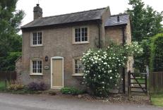
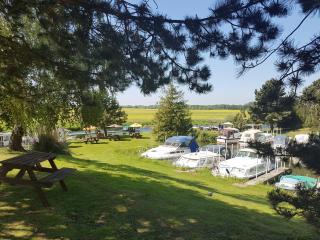
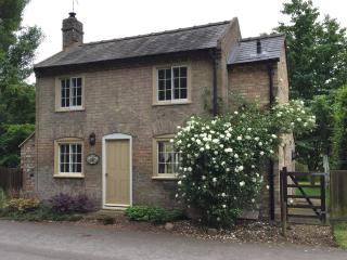
Nearby places to stay
View all (8)


- Ice pack facility
- Picnic Area
- Wifi available
- Calor Gas