Across Birkrigg Common to Bardsea
Recommended by

"A good outing on Birkrigg Common, strewn with ancient remains"
Walk directions
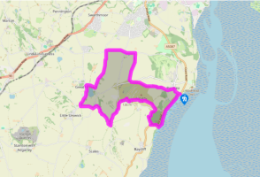
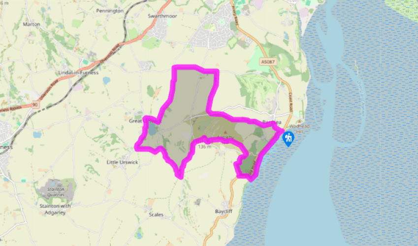
Follow the shore along to Sea Wood. At the far end of the wood turn right and ascend near its edge to the road. Turn left up the road to a small layby, then right at a gate just above into upper Sea Wood.
Follow a path around the top edge of the wood, keeping left at any forks, then descend to leave the wood at a gate. Cross a road and follow a grassy path through bracken on Birkrigg Common. Fork left to a wall corner then keep left to a stone circle. Follow any grassy path to the high skyline; the trig point at 446ft (136m) affords fine views.
View all directions
Additional information
Terrain
- Paths and tracks, some field paths may be muddy, many stiles
Landscape
- Low-lying, rolling limestone country, with coastal margin, woodland, open common and enclosed pastures
Dog friendliness
- Under close control on roads and where there’s livestock grazing
Parking
- Any of the small car parks alongside the coast road just south of Bardsea
Toilets en route
- At start (community operated, donations invited)
About the walk
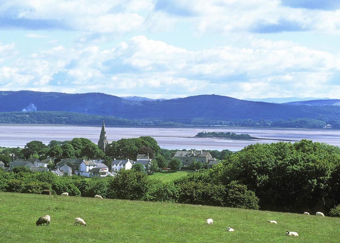
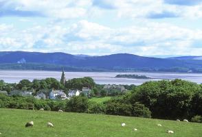
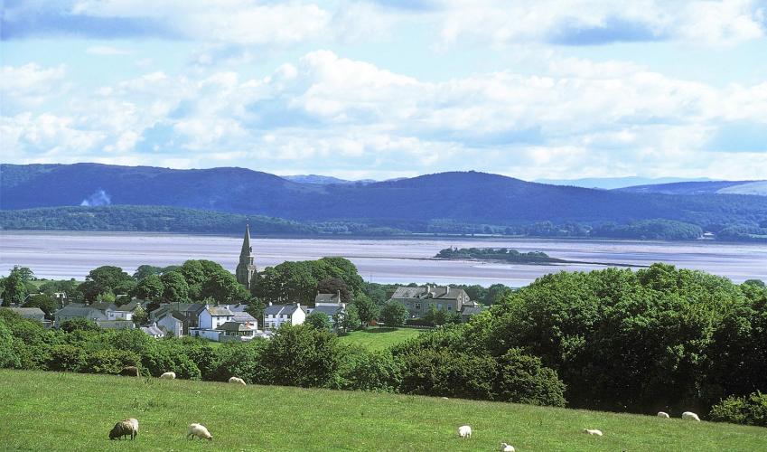
Birkrigg Common is a wonderful open expanse of bracken, grass and low limestone scars, rising between the shores of Morecambe Bay and the gentle valley containing Urswick Tarn. Although only a lowly height, it offers splendid views encompassing the whole of Morecambe Bay and most of the Furness...
Read more

Been on this walk?
Send us photos or a comment about this route. Or recommend a route of your own.

Walking in Safety
Read our tips to look after yourself and the environment when following this walk.

Get an AA guide
Explore our range of ‘50 Walks in’ guides - they’re the ideal companion for a ramble.
Been on this walk?
Send us photos or a comment about this route. Or recommend a route of your own.
Walking in Safety
Read our tips to look after yourself and the environment when following this walk.
Get an AA guide
Explore our range of ‘50 Walks in’ guides - they’re the ideal companion for a ramble.
About the area
Cumbria's rugged yet beautiful landscape is best known for the Lake District National Park that sits within its boundaries. It’s famous for Lake Windermere, England’s largest lake, and Derwent Water, ‘Queen of the English Lakes', but other lesser-known areas in the south, such as the Lune Valley and the coastal towns, are secret gems of wide cobbled streets and rolling hills.
Nearby places to stay
View all (8)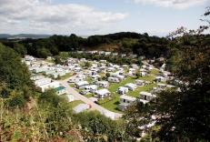


Nearby places to stay
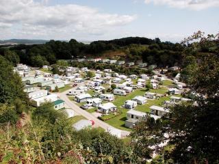
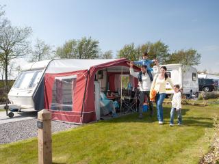
Bardsea Leisure Park
Bardsea Leisure Park is set in a former quarry, which creates a quiet and very sheltered site; set on the southern edge of the town, it is convenient for both the coast and the Lake Dis...
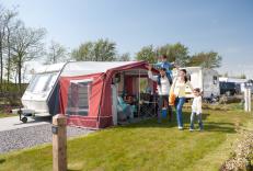
Lakeland Leisure Park
A leisure park with full range of activities and entertainment, making this flat, grassy site ideal for families. The touring area, which includes 24 fully-serviced pitches, is quietly ...
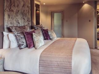
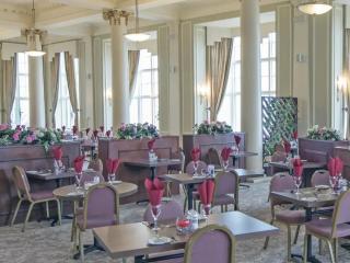
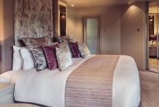
Abbey House Hotel & Gardens
Set in 14 acres of private gardens and woodland, this red stone building is a local landmark. The sharp and contemporary interior style of this 59-bedroom hotel sits well with the origi...
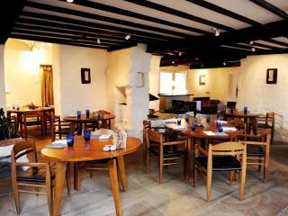
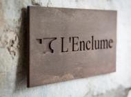
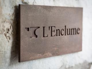
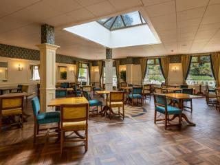
L'Enclume
In the heart of a charming village, L'Enclume is a delightful 13th-century property that offers incredible 21st-century cooking. Once the village forge (l'enclume is French for 'the anv...
2 Bridge Cottages
2 Bridge Cottages is a sympathetically renovated cottage with lots of charm, located on the southern edge of Cartmel. There's excellent attention to detail throughout including a modern...
2 Bridge Cottages
2 Bridge Cottages is a sympathetically renovated cottage with lots of charm, located on the southern edge of Cartmel. There's excellent attention to detail throughout including a modern...
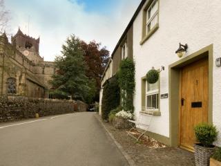
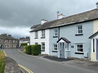
3 Church View
No 3 is almost in the centre of Cartmel, an attractive village just within the Lake District National Park. You’ll need to duck through its little front door to enter the cosy, elegant ...
3 Church View
No 3 is almost in the centre of Cartmel, an attractive village just within the Lake District National Park. You’ll need to duck through its little front door to enter the cosy, elegant ...
Places to eat nearby View all