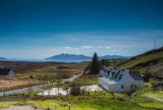
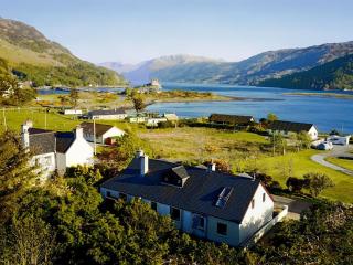
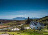
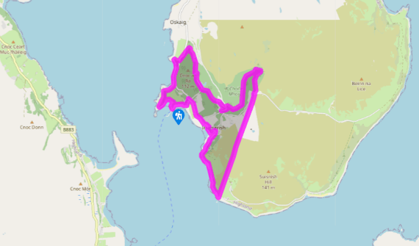
Around Raasay
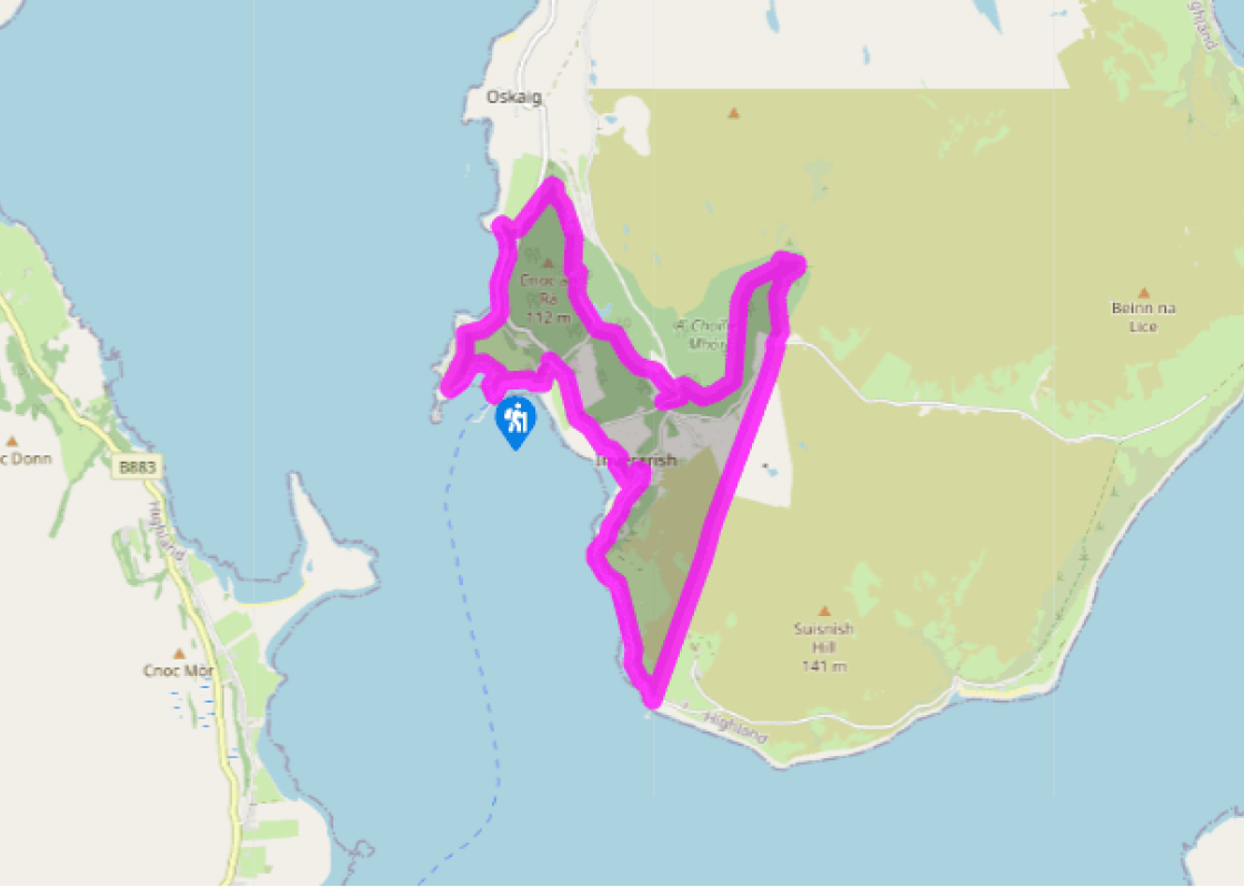
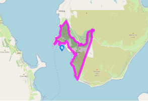
CalMac ferries run roughly hourly during the day to the island of Raasay. From the ferry terminal, bear left on a track below the ramparts of an old gun battery decorated with two stone mermaids. From the old stone pier, follow a path around the bay, until a gate leads to a pleasant shoreline path to Eilean Aird nan Gobhar. Check the tides before crossing the rocks to this tidal island.
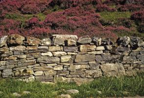
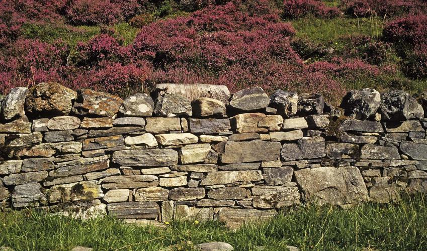
Head inland over a rock knoll, then pass along the left-hand edge of a plantation on a muddy path overhung by rhododendron. Continue along the shore of North Bay, with a pine plantation on your right, all the way round onto a headland. Go up briefly through the low basalt cliff and return along its top. Head along the left edge of the plantation, to emerge through a decorative iron gate on to a road.
Turn left for 180yds (165m) to a grey gate on the right. A green track leads up and to the right into a craggy valley. At a walled paddock it turns left and right to join a tarred track. Follow this down past a lily lochan (Loch a' Mhuilinn) and turn left across its dam. Join a wide path running up under larch and rhododendron but, at the slope top, bear right, waymarked 'Temptation Hill Path'. Look out for a side path on the right which leads up to Dun Bhorogh Dail, the remains of an Iron Age broch (tower). The main path leads down to pass an austere white church, then bends to the right and drops to a tarred road.
Turn sharp left up the road for 0.25 miles (400m), then right at a signpost for Burma Road. Cross the foot of a car park to a path which bends left and climbs quite steeply. It becomes a forest track, passing white waymarkers, finally reaching the abandoned buildings of an old iron mine.
When you get to the tarred road beyond, cross to a signpost for the Miners' Trail. Here turn right on the green track of a former railway. Where a viaduct has been removed, a path descends steeply and then climbs again to regain the railbed. The blue-waymarked Miners' Trail turns off, but your route follows the railway onwards, across a stretch of moor and down to the former ferry terminal.
Turn right on the island’s small road. At Inverarish, turn left over a bridge and divert left past cottages and along the shore. After a playing field you rejoin the road, which leads past the school to another road junction. Uamh na Ramh souterrain is over a stile on the left. Bend left before the superb but neglected stable block (ahead now is Raasay House, an outdoor centre). A roadside path leads to the ferry.
Been on this walk?
Send us photos or a comment about this route. Or recommend a route of your own.
Walking in Safety
Read our tips to look after yourself and the environment when following this walk.
Get an AA guide
Explore our range of ‘50 Walks in’ guides - they’re the ideal companion for a ramble.
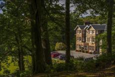
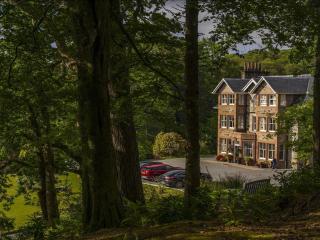
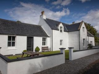
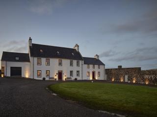
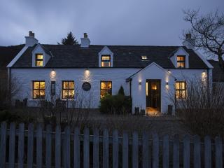
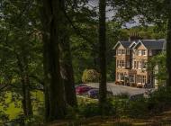
Nearby places to stay
View all (8)
- Rooms 6
- Satellite TV
- Free TV
- Direct Dial
- Family rooms: 1
- Free TV
- WiFi available


