Additional information
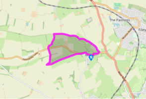
Terrain
- Field paths and tracks, muddy after rain, several stiles
Landscape
- Hillside, then flat farmland
Dog friendliness
- Livestock in fields, so dogs on lead
Parking
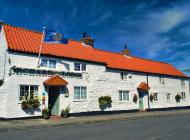
- Street parking in Muston, near the Ship Inn
Toilets en route
- None on route
About the walk
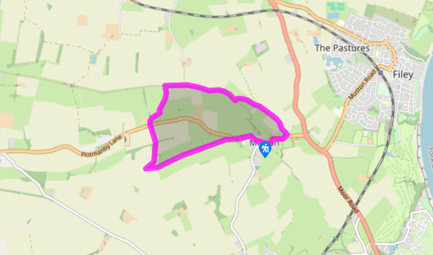
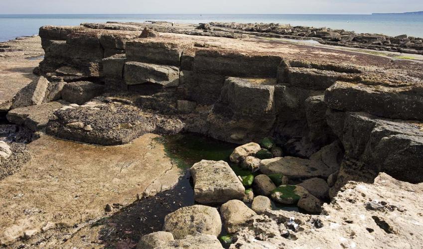
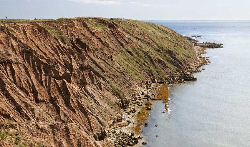
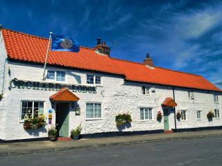
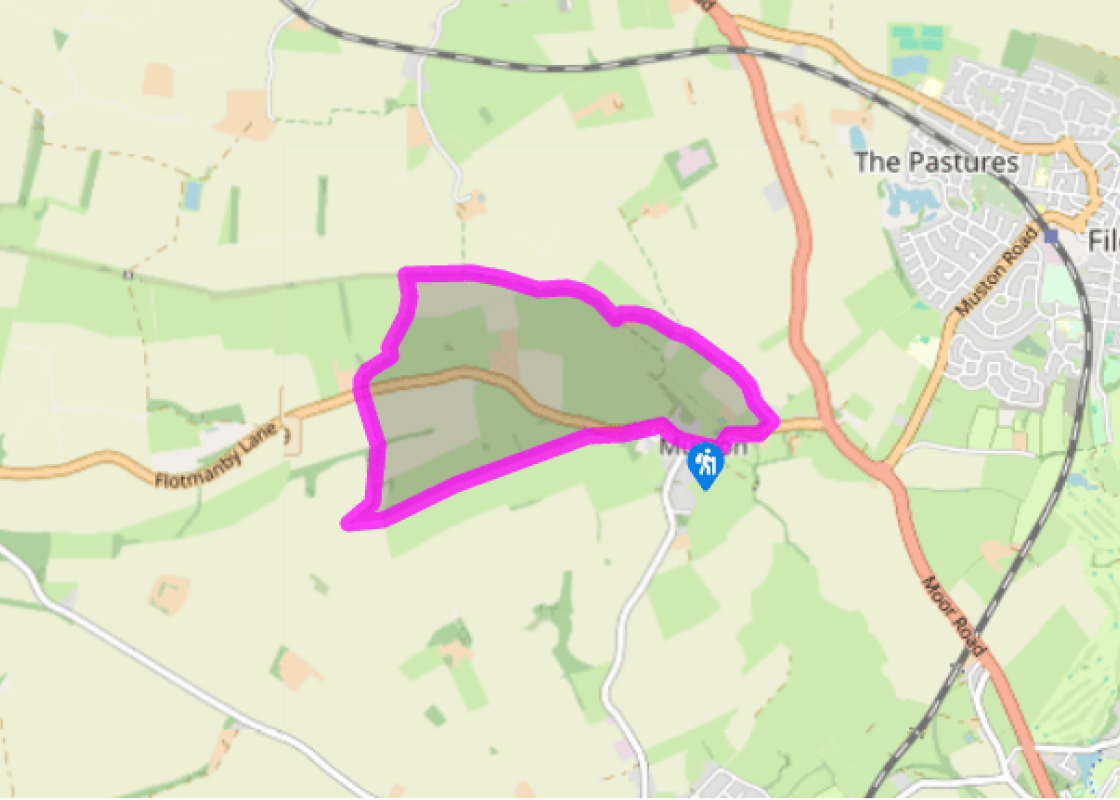
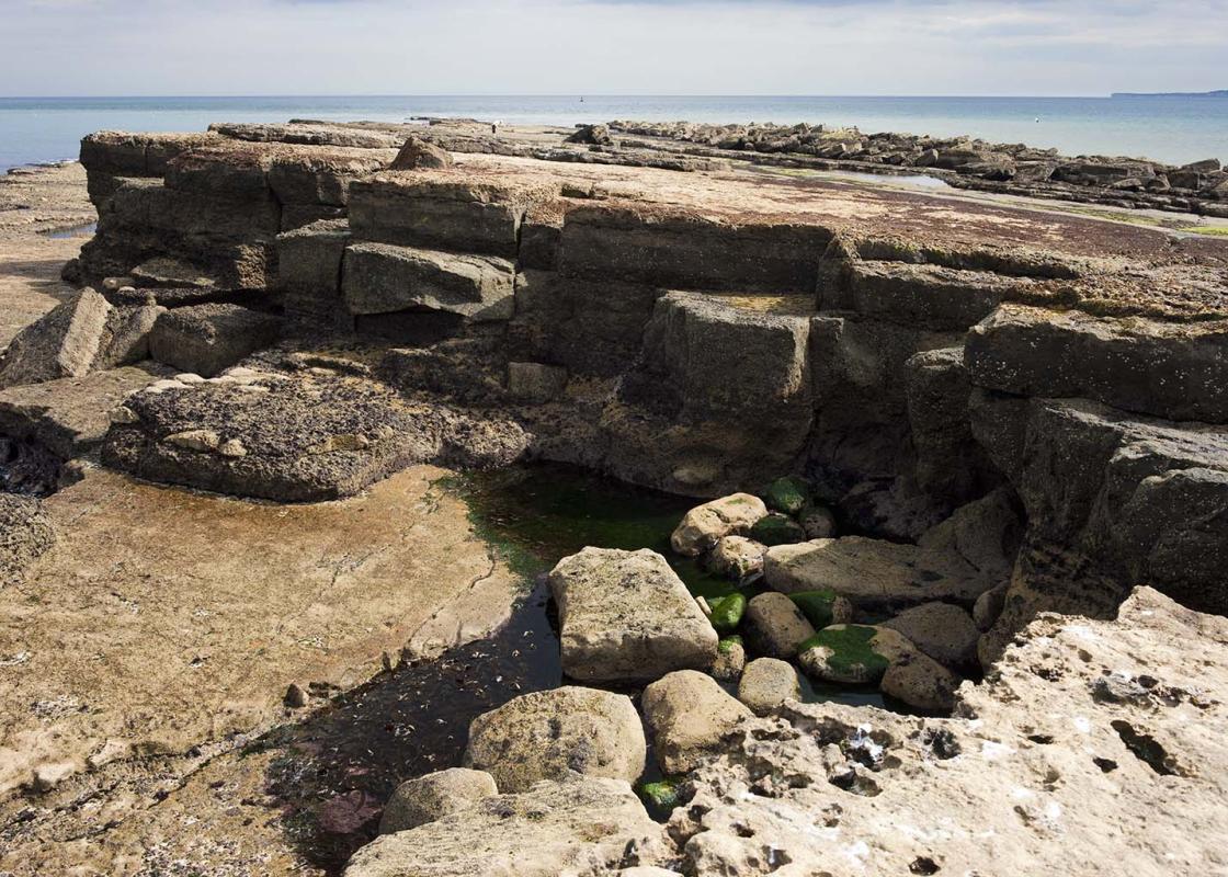
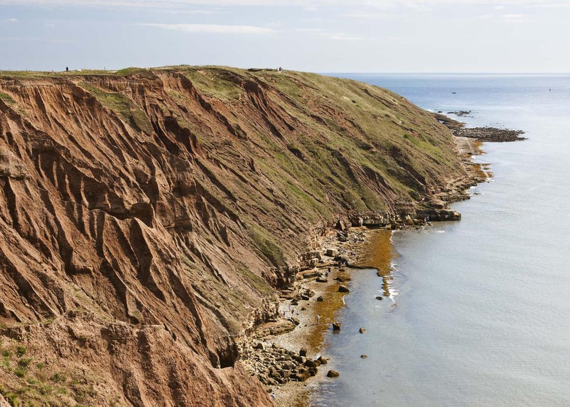
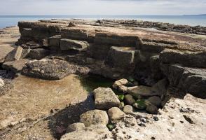
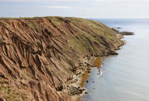
A little inland from the rocky peninsula of Filey Brigg, which marks the end (or the start) of both the Cleveland Way and the Wolds Way, is peaceful pasture and arable land bounded on the south by the first slopes of the chalk escarpment of the Yorkshire Wolds. It is fertile land, once wet with bog... but long-since drained and farmed. The local name for this landscape – The Carrs – is from an Old Norse word meaning boggy ground. Some of Britain’s earliest inhabitants lived around here – not, like their successors, on the Wolds themselves, but in refuges among the reeds and willows. Most of the details of their civilisation have long since disappeared, with burial sites vanishing under the plough. Fortunately, however, we know much about one inhabitant, now known as Gristhorpe Man. In 1834 workmen, employed by the local landowner, William Beswick, in Gristhorpe, dug into an ancient burial mound on the Carrs near the village. Under a covering of oak branches they discovered a coffin lid carved with a face (which they later trampled on and made unrecognisable!). The coffin was made from a single oak log, with lichened bark still adhering to it. Inside was the complete skeleton of a man, more than 6ft (1.8m) tall, with his legs drawn up to his chest. His body had been wrapped in fine animal skin, secured by a bone pin. With him were a bronze dagger head and a bone pommel for it, as well as a flint knife. By his side was a bark dish stitched with strips of animal skin or sinew. It is believed that he is probably more than 4,000 years old, and is likely to have been a Bronze Age chieftain, who died in his forties. Gristhorpe Man’s skeleton and other artefacts are on display in Scarborough’s Rotunda Museum. You will get a fine view of Gristhorpe Man’s homeland from the first part of the walk as you ascend from Muston onto the slopes of Flotmanby Wold. This is part of the long distance Wolds Way, which runs 79.5 miles (128km) from Hessle Haven on the banks of the Humber to Filey Brigg. If the weather is decent, you will be able to see the Brigg to the northeast while, further to the north, Scarborough is clearly visible. The walk descends along an ancient ‘hollow way’ route; this may once have been part of a major prehistoric route from the Wolds on to the watery peat landscape of The Carrs. Today, The Carrs are criss-crossed with drainage ditches that include the evocatively-named Old Scurf and the channelled River Hertford, which was cut in 1807. To the north is the Hull–Scarborough railway line; there was a railway station just southwest of Gristhorpe village. The walk continues by the Main Drain and alongside Muston Bottoms to Muston village, which is worth exploring for its range of excellent vernacular houses, many built of chalk, with their typical pantiled roofs.
Read more