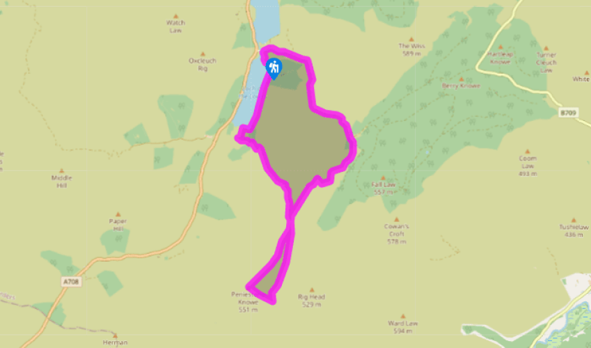
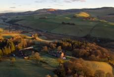
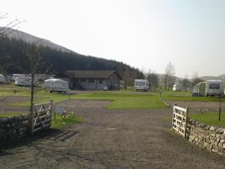
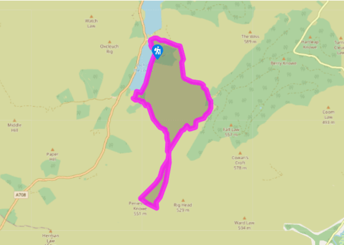
Take the lane across the stone bridge between the two lochs and past Tibbie Shiels Inn, then take the rougher track uphill through a gate, with the Crosscleuch Burn down on its right. It winds uphill to a gate into plantations.
At once, fork right at a Southern Upland Way (SUW) signpost. The path crosses a footbridge, then runs up a tree gap past a signpost, to a stile at the plantation edge. It descends to a footbridge over Whithope Burn, then heads up the valley past the ruins of Riskinhope Hope among scattered trees. It then turns uphill, with plenty of waymarkers, to the level ridgeline of Pikestone Rig. Head along the ridge for 550yds (500m) to reach a small col. Here the SUW bears left, onto the ridge flank; meanwhile another path turns sharp back right out of the col. Later, this will be the descent for Riskinhope.
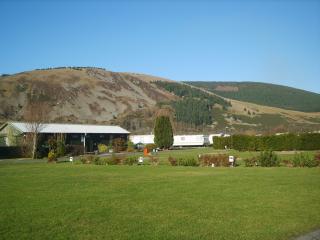
Ignoring both those paths, keep ahead up the grassy ridgeline, on a quad-bike track. Peniestone Knowe's plateau is rough and pathless. The actual summit is marked by a pool, and a slight knoll where three fences and a fallen wall all meet.
Don't cross any fence, but follow the fence running downhill to the left. Quad-bike wheelmarks run down fairly steep ground with rushes, to a stile where the SUW crosses the fence. Turn sharp left, away from the stile, and follow the wide, rebuilt path along the flank of Peniestone Knowe to the col on Pikestone Rig, passed earlier. Go slantwise through the col, on to the path already noted, which slants down the left flank of the ridge. On the left is the notch of Riskinhope Burn, and the path runs down along the right wall of this. It is grassy but clear, until it passes below a wide col before Peat Hill. Here it vanishes in a boggy patch, for just a few steps, before reappearing on the bracken slope of Peat Hill.
The grassy track slants down the flank of Peat Hill, then zig-zags down through two gates to the valley floor meadow. Before Riskinhope house it reaches a ford of Riskinhope Burn. Now follow the burn down to reach the Loch o' the Lowes.
Turn right along the loch side. Go through a gate above the loch's corner, to a bracken path. This continues alongside the loch to a gate at its northern corner. Bear left to a high footbridge. Cross a field near the river to a gate on to the lane beside the bridge between the lochs and back to your car.
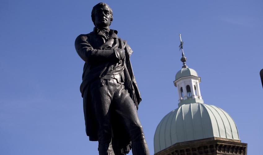
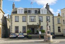
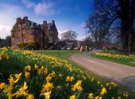
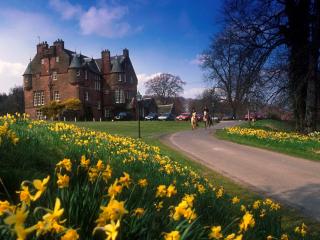
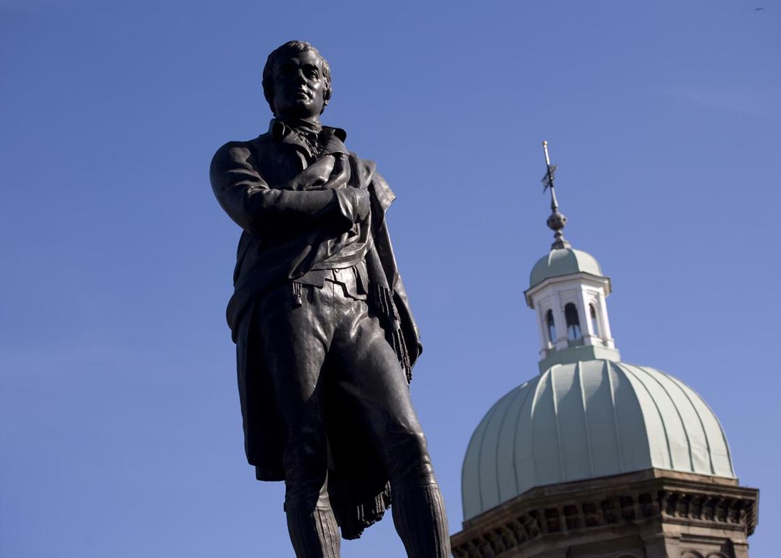
James Hogg, a shepherd turned writer, was born in this tranquil valley in 1770. He and his beloved dog frequently paced tracks that you follow on this walk, from Ettrick to Tibbie Shiels Inn, to meet Sir Walter Scott. Hogg is popularly known as the Ettrick Shepherd and a monument to him broods... above the start of this walk. However, he would probably prefer to be remembered by his work, as his literary achievements are considerable – particularly for someone who had such humble origins. The son of a poor farmer, he hardly received any formal education – indeed, some reports state that his schooling lasted no more than six months. By the age of seven he had started work as a cowherd on a farm. But he had ambition and determination, and an artistic streak, perhaps inherited from his grandfather, said to be the last man who could speak to the fairies. By the time Hogg reached his mid-teens he was working as a shepherd and had taught himself to read and write. He began composing poetry while out on the hills, drawing on the tradition of local ballads learned from his mother. He soon came to the attention of Sir Walter Scott, who was travelling the Borders. Scott became Hogg's mentor - although the pronounced differences in their class meant that Scott always regarded him as a bit of a peasant. Hogg modelled himself on Robert Burns and began to get his poems and songs published. His first collection of ballads, The Mountain Bard (1807) was well received, and three years later Hogg moved to Edinburgh to try and make it as a writer. Within a few years he had been recognised as one of the leading poets of the day – the poor country shepherd had now become a celebrity. After a few years Hogg returned to the Borders, where he wrote the work for which he is best remembered - The Private Memoirs and Confessions of a Justified Sinner (1824). Contemporary critics felt it was so sophisticated that it could never have been written by such an uneducated man. James Hogg was eventually offered a knighthood, but his wife made him turn it down. He died in 1835 and is buried in Ettrick churchyard.
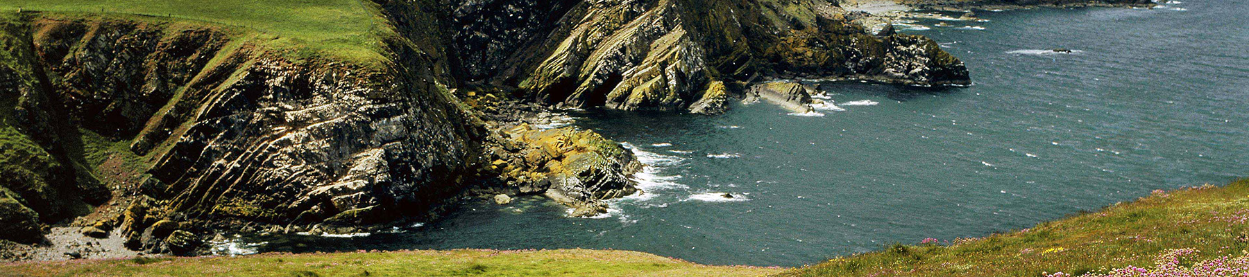
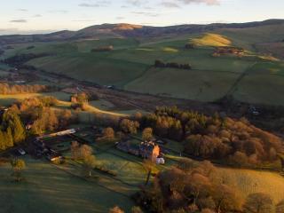
Southern Scotland is often referred to as the Lowlands, to distinguish it from the mountainous grandeur of the North-West Highlands. But don’t be fooled by the description.
Take the lane across the stone bridge between the two lochs and past Tibbie Shiels Inn, then take the rougher track uphill through a gate, with the Crosscleuch Burn down on its right. It winds uphill to a gate into plantations.
1 of 6
At once, fork right at a Southern Upland Way (SUW) signpost. The path crosses a footbridge, then runs up a tree gap past a signpost, to a stile at the plantation edge. It descends to a footbridge over Whithope Burn, then heads up the valley past the ruins of Riskinhope Hope among scattered trees. It then turns uphill, with plenty of waymarkers, to the level ridgeline of Pikestone Rig. Head along the ridge for 550yds (500m) to reach a small col. Here the SUW bears left, onto the ridge flank; meanwhile another path turns sharp back right out of the col. Later, this will be the descent for Riskinhope.
2 of 6
Ignoring both those paths, keep ahead up the grassy ridgeline, on a quad-bike track. Peniestone Knowe's plateau is rough and pathless. The actual summit is marked by a pool, and a slight knoll where three fences and a fallen wall all meet.
3 of 6
Don't cross any fence, but follow the fence running downhill to the left. Quad-bike wheelmarks run down fairly steep ground with rushes, to a stile where the SUW crosses the fence. Turn sharp left, away from the stile, and follow the wide, rebuilt path along the flank of Peniestone Knowe to the col on Pikestone Rig, passed earlier. Go slantwise through the col, on to the path already noted, which slants down the left flank of the ridge. On the left is the notch of Riskinhope Burn, and the path runs down along the right wall of this. It is grassy but clear, until it passes below a wide col before Peat Hill. Here it vanishes in a boggy patch, for just a few steps, before reappearing on the bracken slope of Peat Hill.
4 of 6
The grassy track slants down the flank of Peat Hill, then zig-zags down through two gates to the valley floor meadow. Before Riskinhope house it reaches a ford of Riskinhope Burn. Now follow the burn down to reach the Loch o' the Lowes.
5 of 6
Turn right along the loch side. Go through a gate above the loch's corner, to a bracken path. This continues alongside the loch to a gate at its northern corner. Bear left to a high footbridge. Cross a field near the river to a gate on to the lane beside the bridge between the lochs and back to your car.
James Hogg, a shepherd turned writer, was born in this tranquil valley in 1770. He and his beloved dog frequently paced tracks that you follow on this walk, from Ettrick to Tibbie Shiels Inn, to meet Sir Walter Scott. Hogg is popularly known as the Ettrick Shepherd and a monument to him broods... above the start of this walk. However, he would probably prefer to be remembered by his work, as his literary achievements are considerable – particularly for someone who had such humble origins. The son of a poor farmer, he hardly received any formal education – indeed, some reports state that his schooling lasted no more than six months. By the age of seven he had started work as a cowherd on a farm. But he had ambition and determination, and an artistic streak, perhaps inherited from his grandfather, said to be the last man who could speak to the fairies. By the time Hogg reached his mid-teens he was working as a shepherd and had taught himself to read and write. He began composing poetry while out on the hills, drawing on the tradition of local ballads learned from his mother. He soon came to the attention of Sir Walter Scott, who was travelling the Borders. Scott became Hogg's mentor - although the pronounced differences in their class meant that Scott always regarded him as a bit of a peasant. Hogg modelled himself on Robert Burns and began to get his poems and songs published. His first collection of ballads, The Mountain Bard (1807) was well received, and three years later Hogg moved to Edinburgh to try and make it as a writer. Within a few years he had been recognised as one of the leading poets of the day – the poor country shepherd had now become a celebrity. After a few years Hogg returned to the Borders, where he wrote the work for which he is best remembered - The Private Memoirs and Confessions of a Justified Sinner (1824). Contemporary critics felt it was so sophisticated that it could never have been written by such an uneducated man. James Hogg was eventually offered a knighthood, but his wife made him turn it down. He died in 1835 and is buried in Ettrick churchyard.
Southern Scotland is often referred to as the Lowlands, to distinguish it from the mountainous grandeur of the North-West Highlands. But don’t be fooled by the description.