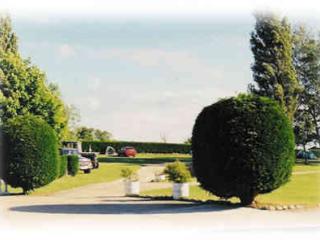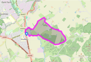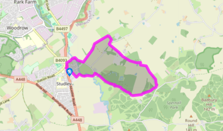
A loop from Studley Priory
From the Pool Road car park, walk down the footpath beside the Studley Community Infants School and continue ahead down Needle Close to the Alcester road (the A435), then go left to the roundabout. Cross over the road and go down the drive to the left of the toilets to Priory Court Farm House, then via a kissing gate on a footpath to the left of houses. Cross the footbridge over the River Arrow. Go through a kissing gate and bear right to another into a large field, aiming towards a third kissing gate at the corner of the field opposite. Don’t go through it but head left to cross the pasture diagonally, aiming to the left of a field gate in the hedge to a waymarker, then go right alongside the hedge for about 0.5 miles (800m).
Through a kissing gate and then a hand gate, go right between the buildings of Field Farm and walk along the farm drive. In about 100yds (91m), go right through a gate crossing the corner of the field onto Hardwick Lane via a kissing gate. Cross the lane and, through a gate, walk between Spinney Cottages, then through a kissing gate. Continue ahead over parkland until you come to a driveway near some glasshouses, reaching it via three hand gates. Cross the driveway, go through a gate and walk to the right of a cottage to enter the wood via two gates. Follow the footpath through the trees and through another gate, then continue ahead by the field edge until you reach the end of the woodland. Join a farm track, passing a pond on the right.

Been on this walk?
Send us photos or a comment about this route. Or recommend a route of your own.

Walking in Safety
Read our tips to look after yourself and the environment when following this walk.

Get an AA guide
Explore our range of ‘50 Walks in’ guides - they’re the ideal companion for a ramble.
Been on this walk?
Send us photos or a comment about this route. Or recommend a route of your own.
Walking in Safety
Read our tips to look after yourself and the environment when following this walk.
Get an AA guide
Explore our range of ‘50 Walks in’ guides - they’re the ideal companion for a ramble.

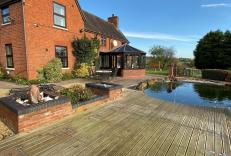
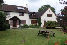
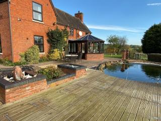
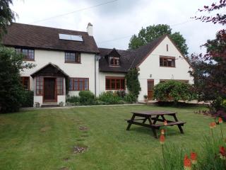
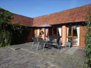
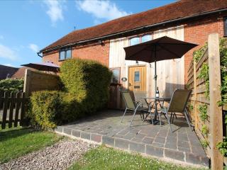
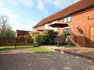
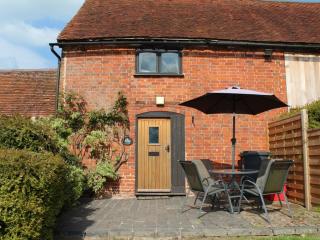
Nearby places to stay
View all (8)