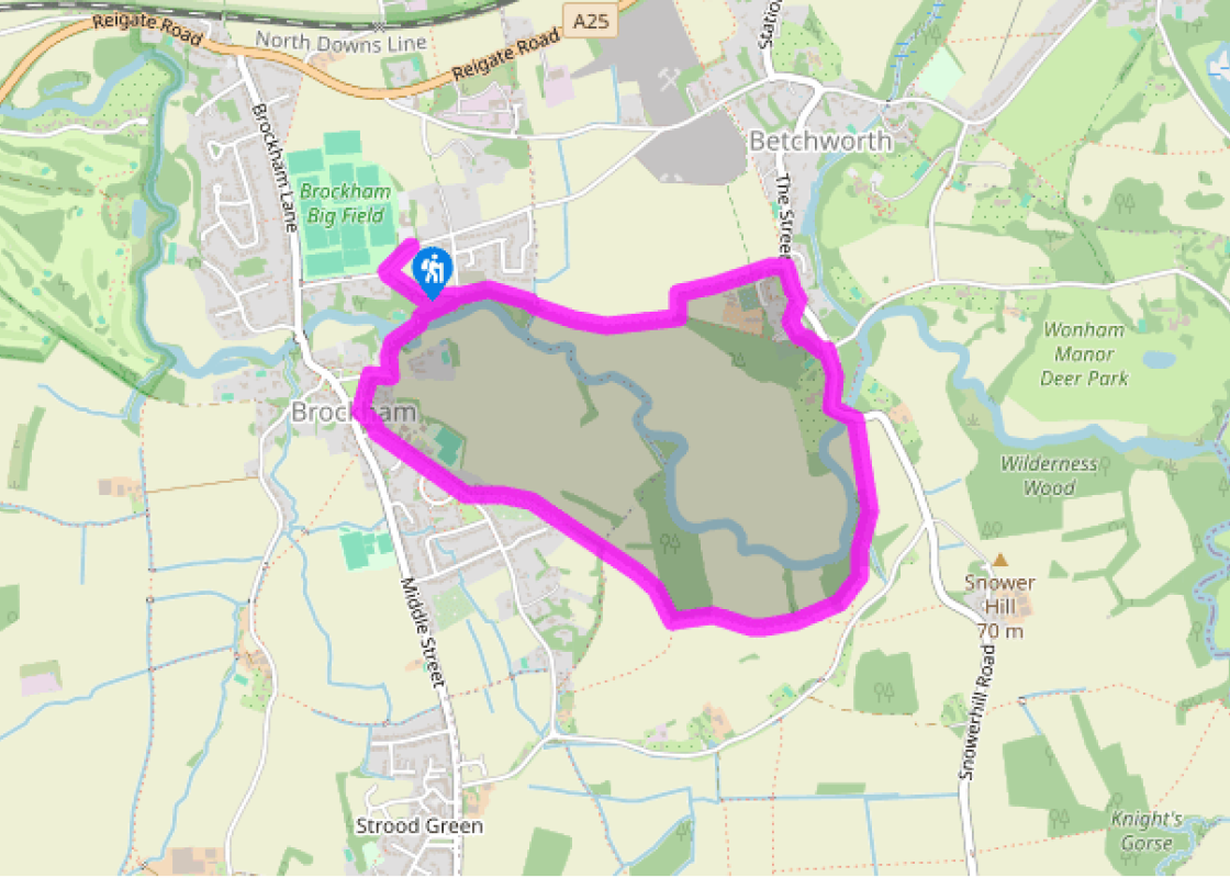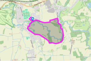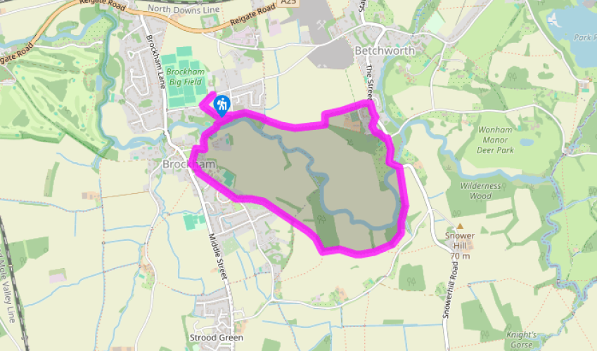
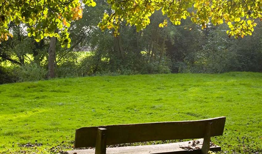
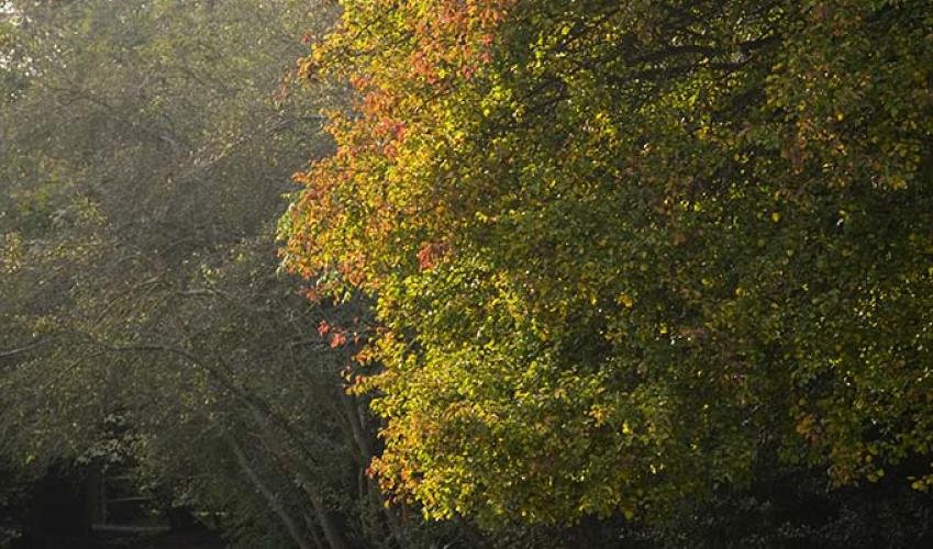
Brockham and Betchworth
From the car park walk towards the road and take the path on the right along the edge of the playing fields. In 100yds (91m) turn left and cross the road at a fingerpost to walk up the footpath between a field and a hedge. At a cross track turn right on the Greensand Way (public bridleway) which descends to cross the River Mole. Continue on the path through two metal gates and over a footbridge. The path reaches a wooden gate, by the side of which is the village pound. Walk right along the track to the Inn on the Green pub and take the path on the left, opposite the pub, across the village green. At a cross-tracks turn left beside the church, and then turn left at Wheelers Road and pass the school. After 340yds (311m) take the footpath on the left, immediately after Fourway House.
Go through a kissing gate, up the side of a field, cross a plank bridge and go through a metal kissing gate. Head across this field towards the right-hand edge of the wood ahead and go through a metal kissing gate. Walk along the left side of the field towards a fingerpost. Turn left here, keeping the wood on your left and go through another metal kissing gate. Follow the path and at the next finger post continue straight on, to cross a stile. Keep to the left of this field, by the wood, and at the next footpath sign keep straight on over a wooden bridge and then uphill to leave the wood. Follow the next footpath to the next kissing gate which leads into the wood. The path descends to a footpath sign. Keep the wood to your left and cross the field towards the main road.

Been on this walk?
Send us photos or a comment about this route. Or recommend a route of your own.

Walking in Safety
Read our tips to look after yourself and the environment when following this walk.

Get an AA guide
Explore our range of ‘50 Walks in’ guides - they’re the ideal companion for a ramble.
Been on this walk?
Send us photos or a comment about this route. Or recommend a route of your own.
Walking in Safety
Read our tips to look after yourself and the environment when following this walk.
Get an AA guide
Explore our range of ‘50 Walks in’ guides - they’re the ideal companion for a ramble.
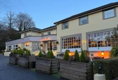
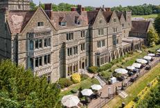
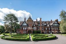
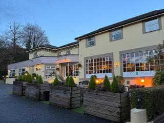
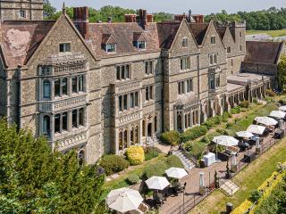
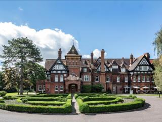
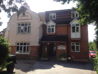
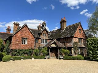
Nearby places to stay
View all (8)