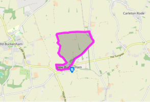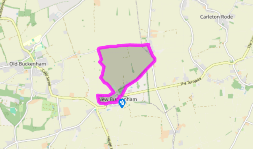

New Buckenham's castle
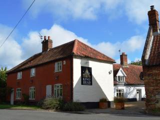
Start by the King's Head on the village green in New Buckenham. The timber structure opposite you is the Market House, or Market Cross, which dates back to the 16th century and was raised on columnar legs in 1754. William d'Albini established a market here to attract local traders and farmers, and the tolls they paid were used to finance his new castle. Walk along Queen Street, then turn right along King Street, which becomes Castle Hill Road. When the road bends left, take the footpath to your right beside the old castle chapel, once used as a barn and now a dwelling.
Keep left to follow the path around the edge of the castle moat. Access to the ruins may be possible on a grassy bridge across the moat, but the gate is usually kept locked. After making a half-circuit, take the straight path that joins from the left and follow this towards the tower of St Martin’s Church ahead. This soon switches fields to follow a hedgerow to the right before emerging on Cuffer Lane.

Been on this walk?
Send us photos or a comment about this route. Or recommend a route of your own.

Walking in Safety
Read our tips to look after yourself and the environment when following this walk.

Get an AA guide
Explore our range of ‘50 Walks in’ guides - they’re the ideal companion for a ramble.
Been on this walk?
Send us photos or a comment about this route. Or recommend a route of your own.
Walking in Safety
Read our tips to look after yourself and the environment when following this walk.
Get an AA guide
Explore our range of ‘50 Walks in’ guides - they’re the ideal companion for a ramble.
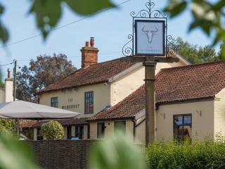
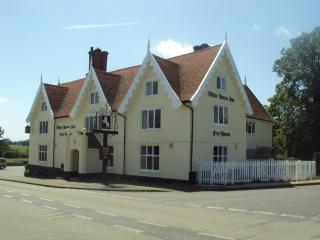
Nearby places to stay
View all (8)